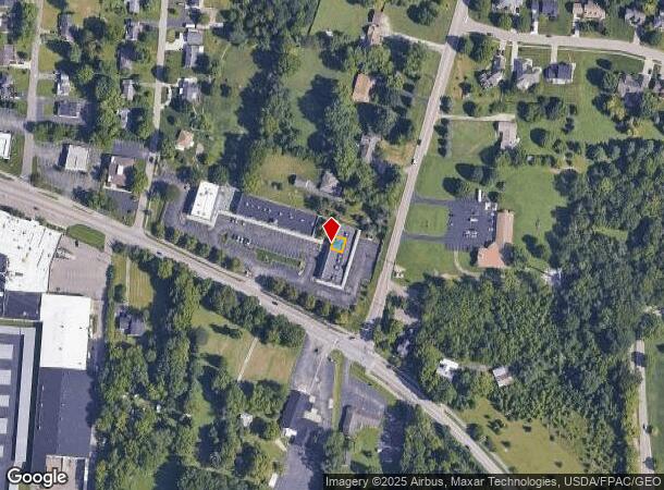
Property Record
2430 Dayton Xenia Rd, Dayton, OH 45434

This Property Is For Sale
NEARBY LISTINGS FOR SALE OR LEASE
Property Detail
2430 Dayton Xenia Rd
Dayton, OH
Xenia
B42-0005-0020-0-0268-00
BEAVER VALLEY CORNERS LOT E CONDO PHS III DAYTON XENIA RD
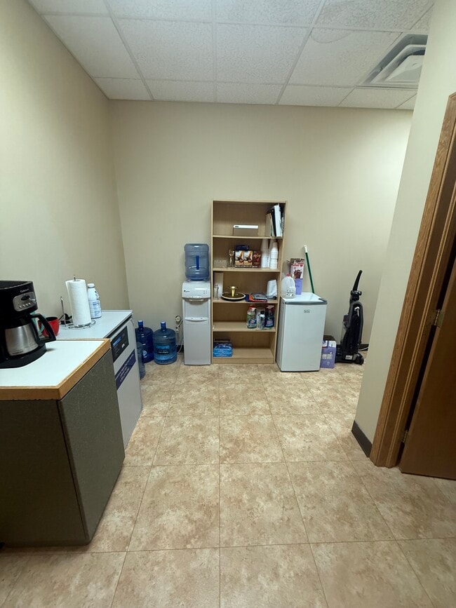
Officecondo
Greene
X
Ohio
39057C0109E
e
2024
0.03 AC
2024
East Dayton
210602
Cincinnati/Dayton
1,117 SF
DEMOGRAPHICS near 2430 Dayton Xenia Rd
1 Mile
3 Mile
5 Mile
2024 Total Population
4,518
26,317
88,960
2029 Population
4,576
26,791
90,762
Pop Growth 2024-2029
+ 1.28%
+ 1.80%
+ 2.03%
Average Age
40
43
41
2024 Total Households
1,605
9,746
35,875
HH Growth 2024-2029
+ 1.25%
+ 1.75%
+ 1.98%
Median Household Inc
$142,778
$129,528
$92,972
Avg Household Size
2.80
2.60
2.40
2024 Avg HH Vehicles
3.00
2.00
2.00
Median Home Value
$293,522
$286,658
$224,986
Median Year Built
1980
1977
1978
Nearby Places
- Restaurants
- Banks
- Shops
- Fitness
- Groceries
PUBLIC TRANSPORTATION
AIRPORT
James M Cox Dayton International
DRIVE
WALK
Distance
James M Cox Dayton International
36 min
22.7 mi
Freight Ports
Port of Toledo
DRIVE
WALK
Distance
Port of Toledo
193 min
162.9 mi
Nearby Properties
Address
Land Use
TOTAL SIZE
Lot Size
Zoning
Address
Land Use
TOTAL SIZE
Lot Size
Zoning
286,260 SF
47.65 AC
Address
Land Use
TOTAL SIZE
Lot Size
Zoning
145,500 SF
32.62 AC
A1
Address
Land Use
TOTAL SIZE
Lot Size
Zoning
108,274 SF
25.09 AC
RPUD427
Address
Land Use
TOTAL SIZE
Lot Size
Zoning
24,992 SF
17 AC
MULTIPLE
Address
Land Use
TOTAL SIZE
Lot Size
Zoning
7,694 SF
20.52 AC
MULTIPLE
Address
Land Use
TOTAL SIZE
Lot Size
Zoning
134,260 SF
11.75 AC
Address
Land Use
TOTAL SIZE
Lot Size
Zoning
26.91 AC
Address
Land Use
TOTAL SIZE
Lot Size
Zoning
2,400 SF
37.61 AC
Address
Land Use
TOTAL SIZE
Lot Size
Zoning
23,223 SF
11 AC
R1A
Address
Land Use
TOTAL SIZE
Lot Size
Zoning
52,262 SF
9.71 AC
Address
Land Use
TOTAL SIZE
Lot Size
Zoning
64,911 SF
12.45 AC
R1A
Address
Land Use
TOTAL SIZE
Lot Size
Zoning
3.54 AC
MULTIPLE
Address
Land Use
TOTAL SIZE
Lot Size
Zoning
41,778 SF
6.82 AC
Address
Land Use
TOTAL SIZE
Lot Size
Zoning
77,673 SF
16.02 AC
A1
Address
Land Use
TOTAL SIZE
Lot Size
Zoning
1,012 SF
464.56 AC
Address
Land Use
TOTAL SIZE
Lot Size
Zoning
40,682 SF
10.31 AC
A1
Address
Land Use
TOTAL SIZE
Lot Size
Zoning
30,056 SF
8.18 AC
Address
Land Use
TOTAL SIZE
Lot Size
Zoning
7,000 SF
5.42 AC
Address
Land Use
TOTAL SIZE
Lot Size
Zoning
27,059 SF
8.99 AC
Address
Land Use
TOTAL SIZE
Lot Size
Zoning
54,191 SF
14.43 AC
A1
Address
Land Use
TOTAL SIZE
Lot Size
Zoning
48,471 SF
15.61 AC
A1
Address
Land Use
TOTAL SIZE
Lot Size
Zoning
110,592 SF
7.22 AC
Address
Land Use
TOTAL SIZE
Lot Size
Zoning
49,686 SF
10 AC
MULTIPLE
Address
Land Use
TOTAL SIZE
Lot Size
Zoning
40,704 SF
6.95 AC
R4
Address
Land Use
TOTAL SIZE
Lot Size
Zoning
113.37 AC
Address
Land Use
TOTAL SIZE
Lot Size
Zoning
26,942 SF
4.77 AC
Address
Land Use
TOTAL SIZE
Lot Size
Zoning
26,958 SF
2.72 AC
CPUD891
Address
Land Use
TOTAL SIZE
Lot Size
Zoning
94,000 SF
7.64 AC
Address
Land Use
TOTAL SIZE
Lot Size
Zoning
24,940 SF
16 AC
Address
Land Use
TOTAL SIZE
Lot Size
Zoning
61,506 SF
11.49 AC
RPUD891
The World's #1 Commercial Real Estate Marketplace
Connect with us
© 2025 CoStar Group
The information above has been obtained from sources believed reliable. While we do not doubt its accuracy we have not verified it and make no guarantee, warranty or representation about it. It is your responsibility to independently confirm its accuracy and completeness. Any projections, opinions, assumptions, or estimates used are for example only and do not represent the current or future performance of the property. The value of this transaction to you depends on tax and other factors which should be evaluated by your tax, financial, and legal advisors. You and your advisors should conduct a careful, independent investigation of the property to determine to your satisfaction the suitability of the property for your needs.