Property Record
245 Sanders Bluff Ln, Elgin, SC 29045

Save to a Folder
{{folder.Name}}
{{folder.ListingIds.length}} Properties
{{folder.ListingIds.length}} Property
Create a New Folder
Property Detail
245 Sanders Bluff Ln
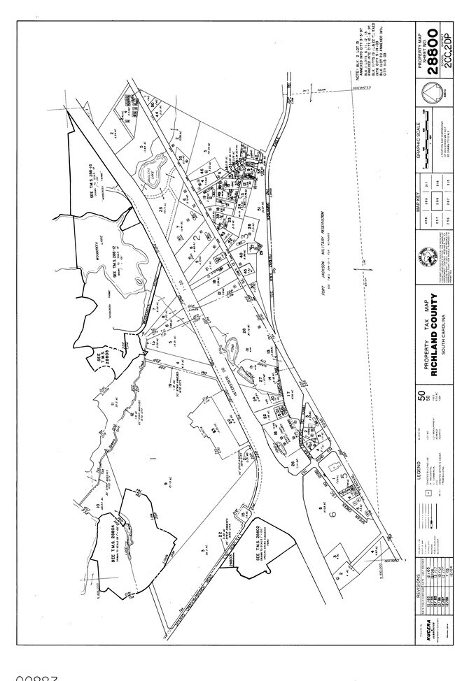
28800-05-02
LOT 1 86.3X73.1X452.8X105.3X48.7X 318.9X238.5X416.5X57.8X140XETC #SU
Commercialnec
Kershaw
M-1
South Carolina
B and X Area of moderate flood hazard, usually the area between the limits of the 100-year and 500-year floods.
1,86
2025
4.03 AC
2025
Outlying Richland County
970909
Columbia
2,420 SF
Columbia, SC
NEARBY LISTINGS FOR SALE OR LEASE
DEMOGRAPHICS near 245 Sanders Bluff Ln
1 mile
3 mile
5 mile
2025 Total Population
2,001
19,427
51,654
2030 Population
2,133
20,375
53,774
Pop Growth 2025-2030
+ 6.60%
+ 4.88%
+ 4.10%
Average Age
38
39
39
2025 Total Households
784
7,745
20,298
HH Growth 2025-2030
+ 6.76%
+ 4.98%
+ 4.26%
Median Household Inc
$87,729
$90,908
$83,207
Avg Household Size
2.50
2.50
2.50
2025 Avg HH Vehicles
2.00
2.00
2.00
Median Home Value
$284,714
$299,768
$264,797
Median Year Built
2009
2004
2000
Nearby Places
Map Layers
Map Styles
 Street
 Aerial
Layers
 Traffic
 Biking
Places
Listings with unknown addresses are not visible on the map
- Restaurants
- Banks
- Shops
- Fitness
- Groceries
PUBLIC TRANSPORTATION
AIRPORT
Columbia Metro
Drive
Walk
Distance
Columbia Metro
50 min
28.9 mi
Freight Ports
North Charleston Terminal
Drive
Walk
Distance
North Charleston Terminal
146 min
124.5 mi
Nearby Properties
Address
Land Use
TOTAL SIZE
Lot Size
Zoning
Address
Land Use
TOTAL SIZE
Lot Size
Zoning
563.44 AC
OI
Address
Land Use
TOTAL SIZE
Lot Size
Zoning
329,677 SF
17.12 AC
PDD
Address
Land Use
TOTAL SIZE
Lot Size
Zoning
313,664 SF
33.91 AC
RG-2
Address
Land Use
TOTAL SIZE
Lot Size
Zoning
210,926 SF
22 AC
HI
Address
Land Use
TOTAL SIZE
Lot Size
Zoning
84,860 SF
5.13 AC
PUD-R
Address
Land Use
TOTAL SIZE
Lot Size
Zoning
186,393 SF
13.12 AC
HI
Address
Land Use
TOTAL SIZE
Lot Size
Zoning
11,550 SF
6.76 AC
HI
Address
Land Use
TOTAL SIZE
Lot Size
Zoning
11,036 SF
9 AC
PUD-C
Address
Land Use
TOTAL SIZE
Lot Size
Zoning
40,603 SF
4.64 AC
MUNICIPAL
Address
Land Use
TOTAL SIZE
Lot Size
Zoning
10,560 SF
3.61 AC
GC
Address
Land Use
TOTAL SIZE
Lot Size
Zoning
2,474 SF
104.46 AC
RU
Address
Land Use
TOTAL SIZE
Lot Size
Zoning
63.47 AC
RS-MD
Address
Land Use
TOTAL SIZE
Lot Size
Zoning
41,947 SF
9.36 AC
HI
Address
Land Use
TOTAL SIZE
Lot Size
Zoning
35,710 SF
5.18 AC
M-1
Address
Land Use
TOTAL SIZE
Lot Size
Zoning
14,400 SF
9.89 AC
M-1
Address
Land Use
TOTAL SIZE
Lot Size
Zoning
53,566 SF
3.98 AC
M-1
Address
Land Use
TOTAL SIZE
Lot Size
Zoning
41,886 SF
4.56 AC
MUNICIPAL
Address
Land Use
TOTAL SIZE
Lot Size
Zoning
9,397 SF
5.50 AC
OI
Address
Land Use
TOTAL SIZE
Lot Size
Zoning
13.39 AC
PUD-R
Address
Land Use
TOTAL SIZE
Lot Size
Zoning
2,583 SF
1.24 AC
MUNICIPAL
Address
Land Use
TOTAL SIZE
Lot Size
Zoning
17,000 SF
2.83 AC
M-1
Address
Land Use
TOTAL SIZE
Lot Size
Zoning
2,400 SF
195.73 AC
PDD
Address
Land Use
TOTAL SIZE
Lot Size
Zoning
25,060 SF
7.59 AC
GC
Address
Land Use
TOTAL SIZE
Lot Size
Zoning
14,550 SF
2.02 AC
MUNICIPAL
Address
Land Use
TOTAL SIZE
Lot Size
Zoning
6,704 SF
4.91 AC
RS-MD
Address
Land Use
TOTAL SIZE
Lot Size
Zoning
7,366 SF
0.52 AC
MUNICIPAL
Address
Land Use
TOTAL SIZE
Lot Size
Zoning
6,854 SF
5 AC
RU
Address
Land Use
TOTAL SIZE
Lot Size
Zoning
22.26 AC
GC
Address
Land Use
TOTAL SIZE
Lot Size
Zoning
3,542 SF
13.62 AC
PD
The World's #1 Commercial Real Estate Marketplace
Connect with us
© 2026 CoStar Group
The information above has been obtained from sources believed reliable. While we do not doubt its accuracy we have not verified it and make no guarantee, warranty or representation about it. It is your responsibility to independently confirm its accuracy and completeness. Any projections, opinions, assumptions, or estimates used are for example only and do not represent the current or future performance of the property. The value of this transaction to you depends on tax and other factors which should be evaluated by your tax, financial, and legal advisors. You and your advisors should conduct a careful, independent investigation of the property to determine to your satisfaction the suitability of the property for your needs.