Property Record
2461 Navarre Ave, Oregon, OH 43616


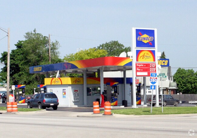

Property Detail
2461 Navarre Ave
44-74324
ULRICHS ADDITION LOT 1 EXC PT IN EXPRESSWAYSUBJ TO LEGAL HWY
Storebuilding
Lucas
40-C2
Ohio
B and X Area of moderate flood hazard, usually the area between the limits of the 100-year and 500-year floods.
1
0
0.45 AC
2025
East Toledo/Oregon
010002
Toledo
480 SF
Toledo, OH
NEARBY LISTINGS FOR SALE OR LEASE
DEMOGRAPHICS near 2461 Navarre Ave
1 mile
3 mile
5 mile
2025 Total Population
9,814
56,417
129,382
2030 Population
9,681
56,860
131,168
Pop Growth 2025-2030
(1.36%)
+ 0.79%
+ 1.38%
Average Age
40
39
39
2025 Total Households
4,279
23,490
53,873
HH Growth 2025-2030
(1.47%)
+ 0.71%
+ 1.32%
Median Household Inc
$51,182
$44,717
$44,031
Avg Household Size
2.20
2.30
2.30
2025 Avg HH Vehicles
1.00
1.00
1.00
Median Home Value
$137,544
$100,640
$97,167
Median Year Built
1960
1952
1950
Nearby Places
Map Layers
Map Styles
 Street
 Aerial
Layers
 Traffic
 Biking
Places
Listings with unknown addresses are not visible on the map
- Restaurants
- Banks
- Shops
- Fitness
- Groceries
PUBLIC TRANSPORTATION
COMMUTER RAIL
Drive
Walk
Distance
6 min
3.4 mi
AIRPORT
Eugene F Kranz Toledo Express
Drive
Walk
Distance
Eugene F Kranz Toledo Express
37 min
21.4 mi
Freight Ports
Drive
Walk
Distance
12 min
4.4 mi
SALE & LEASE HISTORY
LISTING DATE
SALE/LEASE

Sep 23, 2016
For Sale
Nov 17, 2016
For Sale
Nearby Properties
Address
Land Use
TOTAL SIZE
Lot Size
Zoning
Address
Land Use
TOTAL SIZE
Lot Size
Zoning
605,609 SF
9.66 AC
40-C4
Address
Land Use
TOTAL SIZE
Lot Size
Zoning
277,862 SF
3 AC
10-CD
Address
Land Use
TOTAL SIZE
Lot Size
Zoning
314,826 SF
10.28 AC
10-CM
Address
Land Use
TOTAL SIZE
Lot Size
Zoning
313,004 SF
44.54 AC
40-C2
Address
Land Use
TOTAL SIZE
Lot Size
Zoning
625,485 SF
2 AC
10-MX
Address
Land Use
TOTAL SIZE
Lot Size
Zoning
111,471 SF
6.17 AC
10-CD
Address
Land Use
TOTAL SIZE
Lot Size
Zoning
243,165 SF
3.63 AC
10-CD
Address
Land Use
TOTAL SIZE
Lot Size
Zoning
1.74 AC
10-CD
Address
Land Use
TOTAL SIZE
Lot Size
Zoning
225,407 SF
128.05 AC
10-MX
Address
Land Use
TOTAL SIZE
Lot Size
Zoning
182,983 SF
2 AC
10-CD
Address
Land Use
TOTAL SIZE
Lot Size
Zoning
14,824 SF
54.18 AC
10-MX
Address
Land Use
TOTAL SIZE
Lot Size
Zoning
136,090 SF
4 AC
Address
Land Use
TOTAL SIZE
Lot Size
Zoning
390,272 SF
5 AC
10-CD
Address
Land Use
TOTAL SIZE
Lot Size
Zoning
127,658 SF
9.01 AC
40-C4
Address
Land Use
TOTAL SIZE
Lot Size
Zoning
202,118 SF
1.50 AC
10-CD
Address
Land Use
TOTAL SIZE
Lot Size
Zoning
232,758 SF
2 AC
10-CO
Address
Land Use
TOTAL SIZE
Lot Size
Zoning
132,690 SF
5 AC
10-CO
Address
Land Use
TOTAL SIZE
Lot Size
Zoning
158,288 SF
1.22 AC
10-CO
Address
Land Use
TOTAL SIZE
Lot Size
Zoning
73,802 SF
22.50 AC
40-R1
Address
Land Use
TOTAL SIZE
Lot Size
Zoning
370,650 SF
13.65 AC
10-MX
Address
Land Use
TOTAL SIZE
Lot Size
Zoning
158,473 SF
1 AC
10-CD
Address
Land Use
TOTAL SIZE
Lot Size
Zoning
273,871 SF
0.66 AC
10-CD
Address
Land Use
TOTAL SIZE
Lot Size
Zoning
3.22 AC
10-CD
Address
Land Use
TOTAL SIZE
Lot Size
Zoning
Address
Land Use
TOTAL SIZE
Lot Size
Zoning
214,312 SF
35.35 AC
40-C5
Address
Land Use
TOTAL SIZE
Lot Size
Zoning
1.01 AC
10-CD
Address
Land Use
TOTAL SIZE
Lot Size
Zoning
372,803 SF
51.86 AC
Address
Land Use
TOTAL SIZE
Lot Size
Zoning
132,421 SF
2.64 AC
10-CO
Address
Land Use
TOTAL SIZE
Lot Size
Zoning
102,535 SF
20 AC
40-R2
Address
Land Use
TOTAL SIZE
Lot Size
Zoning
228,251 SF
43.08 AC
10-RD6
The World's #1 Commercial Real Estate Marketplace
Connect with us
© 2026 CoStar Group
The information above has been obtained from sources believed reliable. While we do not doubt its accuracy we have not verified it and make no guarantee, warranty or representation about it. It is your responsibility to independently confirm its accuracy and completeness. Any projections, opinions, assumptions, or estimates used are for example only and do not represent the current or future performance of the property. The value of this transaction to you depends on tax and other factors which should be evaluated by your tax, financial, and legal advisors. You and your advisors should conduct a careful, independent investigation of the property to determine to your satisfaction the suitability of the property for your needs.