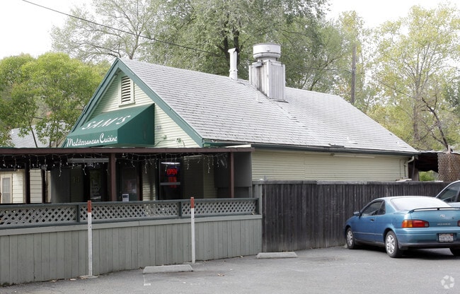
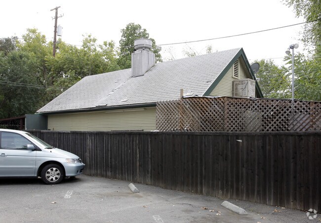
Property Record
247 3Rd St, Davis, CA 95616
Property Detail
247 3Rd St
070-073-008-000
MCDONALD L 7 3 M 59
Restaurantbuilding
Yolo
PD
California
B and X Area of moderate flood hazard, usually the area between the limits of the 100-year and 500-year floods.
7
2024
0.03 AC
2025
Davis
010701
Sacramento
680 SF
Sacramento-Roseville-Folsom, CA
NEARBY LISTINGS FOR SALE OR LEASE
DEMOGRAPHICS near 247 3Rd St
1 mile
3 mile
5 mile
2024 Total Population
20,739
82,478
85,587
2029 Population
21,438
84,760
87,903
Pop Growth 2024-2029
+ 3.37%
+ 2.77%
+ 2.71%
Average Age
28
34
34
2024 Total Households
6,093
28,515
29,662
HH Growth 2024-2029
+ 3.07%
+ 2.74%
+ 2.68%
Median Household Inc
$59,957
$86,140
$88,987
Avg Household Size
2.20
2.50
2.50
2024 Avg HH Vehicles
2.00
2.00
2.00
Median Home Value
$797,341
$819,299
$836,459
Median Year Built
1973
1983
1983
Nearby Places
Map Layers
Map Styles
 Street
 Aerial
Transit
 Traffic
 Biking
Places
Listings with unknown addresses are not visible on the map
- Restaurants
- Banks
- Shops
- Fitness
- Groceries
PUBLIC TRANSPORTATION
COMMUTER RAIL
Drive
Walk
Distance
2 min
10 min
0.5 mi
AIRPORT
Sacramento International
Drive
Walk
Distance
Sacramento International
31 min
21.0 mi
Nearby Properties
Address
Land Use
TOTAL SIZE
Lot Size
Zoning
Address
Land Use
TOTAL SIZE
Lot Size
Zoning
11.18 AC
P-D
Address
Land Use
TOTAL SIZE
Lot Size
Zoning
40,000 SF
16.56 AC
A1
Address
Land Use
TOTAL SIZE
Lot Size
Zoning
5.92 AC
P-D
Address
Land Use
TOTAL SIZE
Lot Size
Zoning
29,376 SF
0.14 AC
PD
Address
Land Use
TOTAL SIZE
Lot Size
Zoning
225,000 SF
7.43 AC
PD
Address
Land Use
TOTAL SIZE
Lot Size
Zoning
185,271 SF
1.01 AC
RHD
Address
Land Use
TOTAL SIZE
Lot Size
Zoning
0.20 AC
I
Address
Land Use
TOTAL SIZE
Lot Size
Zoning
209,988 SF
0.11 AC
PD
Address
Land Use
TOTAL SIZE
Lot Size
Zoning
168,279 SF
0.09 AC
R-M
Address
Land Use
TOTAL SIZE
Lot Size
Zoning
110,839 SF
0.26 AC
R3M
Address
Land Use
TOTAL SIZE
Lot Size
Zoning
134,214 SF
5.99 AC
PD
Address
Land Use
TOTAL SIZE
Lot Size
Zoning
174,228 SF
0.16 AC
PD
Address
Land Use
TOTAL SIZE
Lot Size
Zoning
4.40 AC
PD
Address
Land Use
TOTAL SIZE
Lot Size
Zoning
126,842 SF
13.56 AC
PD
Address
Land Use
TOTAL SIZE
Lot Size
Zoning
148,848 SF
0.13 AC
I
Address
Land Use
TOTAL SIZE
Lot Size
Zoning
107,817 SF
6.44 AC
PD
Address
Land Use
TOTAL SIZE
Lot Size
Zoning
1.37 AC
PD
Address
Land Use
TOTAL SIZE
Lot Size
Zoning
2.52 AC
I
Address
Land Use
TOTAL SIZE
Lot Size
Zoning
99,399 SF
5.83 AC
I
Address
Land Use
TOTAL SIZE
Lot Size
Zoning
152,916 SF
0.17 AC
PD
Address
Land Use
TOTAL SIZE
Lot Size
Zoning
13,068 SF
8.25 AC
PD
Address
Land Use
TOTAL SIZE
Lot Size
Zoning
1.74 AC
CH
Address
Land Use
TOTAL SIZE
Lot Size
Zoning
68,428 SF
0.29 AC
PD
Address
Land Use
TOTAL SIZE
Lot Size
Zoning
213,692 SF
8.07 AC
03
Address
Land Use
TOTAL SIZE
Lot Size
Zoning
102,400 SF
5.78 AC
PD
Address
Land Use
TOTAL SIZE
Lot Size
Zoning
90,752 SF
0.21 AC
R3
Address
Land Use
TOTAL SIZE
Lot Size
Zoning
1.93 AC
PD
Address
Land Use
TOTAL SIZE
Lot Size
Zoning
78,953 SF
2.69 AC
I
Address
Land Use
TOTAL SIZE
Lot Size
Zoning
61,829 SF
1.31 AC
CC
Address
Land Use
TOTAL SIZE
Lot Size
Zoning
12,361 SF
0.59 AC
PD
The World's #1 Commercial Real Estate Marketplace
Connect with us
© 2026 CoStar Group
The information above has been obtained from sources believed reliable. While we do not doubt its accuracy we have not verified it and make no guarantee, warranty or representation about it. It is your responsibility to independently confirm its accuracy and completeness. Any projections, opinions, assumptions, or estimates used are for example only and do not represent the current or future performance of the property. The value of this transaction to you depends on tax and other factors which should be evaluated by your tax, financial, and legal advisors. You and your advisors should conduct a careful, independent investigation of the property to determine to your satisfaction the suitability of the property for your needs.