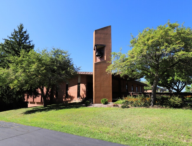
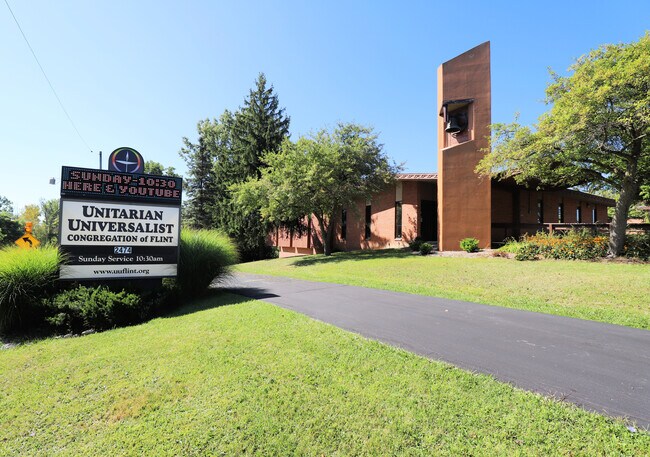
Property Record
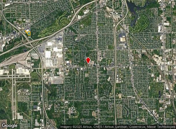
2470 S Ballenger Hwy, Flint, MI 48507

Current Lease Availabilities
NEARBY LISTINGS FOR SALE OR LEASE
Property Detail
2470 S Ballenger Hwy
Commercialnec
BUILDING ON LEASE LAND ON: A PARCEL OF LAND BEG AT SE COR OF SEC TH N 89 DEG 23 MIN W 320.10 FT TH N 27 DEG SEC 22 T7N R6E
X
Genesee
26049C0301D
Michigan
2024
Flint
2025
Detroit
011010
Flint, MI
288 SF
07-22-785-001
DEMOGRAPHICS near 2470 S Ballenger Hwy
1 Mile
3 Mile
5 Mile
2024 Total Population
4,707
53,802
127,486
2029 Population
4,644
54,010
128,017
Pop Growth 2024-2029
(1.34%)
+ 0.39%
+ 0.42%
Average Age
40
39
40
2024 Total Households
2,082
22,684
53,572
HH Growth 2024-2029
(1.20%)
+ 0.39%
+ 0.37%
Median Household Inc
$42,089
$48,402
$48,247
Avg Household Size
2.20
2.20
2.30
2024 Avg HH Vehicles
1.00
1.00
1.00
Median Home Value
$92,572
$92,894
$103,700
Median Year Built
1956
1959
1961
Nearby Places
- Restaurants
- Banks
- Shops
- Fitness
- Groceries
PUBLIC TRANSPORTATION
COMMUTER RAIL
Flint Amtrak Station (Blue Water - Amtrak)
DRIVE
WALK
Distance
Flint Amtrak Station (Blue Water - Amtrak)
10 min
5.2 mi
AIRPORT
Bishop International
DRIVE
WALK
Distance
Bishop International
18 min
7.1 mi
Freight Ports
Port of Toledo
DRIVE
WALK
Distance
Port of Toledo
131 min
111.4 mi
Nearby Properties
Address
Land Use
TOTAL SIZE
Lot Size
Zoning
Address
Land Use
TOTAL SIZE
Lot Size
Zoning
381,509 SF
371.45 AC
PC
Address
Land Use
TOTAL SIZE
Lot Size
Zoning
Address
Land Use
TOTAL SIZE
Lot Size
Zoning
51.26 AC
HDM
Address
Land Use
TOTAL SIZE
Lot Size
Zoning
911,140 SF
Address
Land Use
TOTAL SIZE
Lot Size
Zoning
120,487 SF
5.81 AC
PRC
Address
Land Use
TOTAL SIZE
Lot Size
Zoning
130,291 SF
Address
Land Use
TOTAL SIZE
Lot Size
Zoning
112,232 SF
196 AC
Address
Land Use
TOTAL SIZE
Lot Size
Zoning
65,746 SF
3.97 AC
C-4
Address
Land Use
TOTAL SIZE
Lot Size
Zoning
Address
Land Use
TOTAL SIZE
Lot Size
Zoning
144,896 SF
0.23 AC
DC
Address
Land Use
TOTAL SIZE
Lot Size
Zoning
45,204 SF
6.43 AC
M-M
Address
Land Use
TOTAL SIZE
Lot Size
Zoning
115,556 SF
2.50 AC
DE
Address
Land Use
TOTAL SIZE
Lot Size
Zoning
75,536 SF
8.97 AC
PRC
Address
Land Use
TOTAL SIZE
Lot Size
Zoning
69,232 SF
2.75 AC
C-3A
Address
Land Use
TOTAL SIZE
Lot Size
Zoning
100,000 SF
Address
Land Use
TOTAL SIZE
Lot Size
Zoning
15.19 AC
M-M
Address
Land Use
TOTAL SIZE
Lot Size
Zoning
58,648 SF
5.80 AC
OS
Address
Land Use
TOTAL SIZE
Lot Size
Zoning
100,750 SF
Address
Land Use
TOTAL SIZE
Lot Size
Zoning
9.88 AC
HDM
Address
Land Use
TOTAL SIZE
Lot Size
Zoning
68,571 SF
0.81 AC
DC
Address
Land Use
TOTAL SIZE
Lot Size
Zoning
118,750 SF
21.26 AC
C-3A
Address
Land Use
TOTAL SIZE
Lot Size
Zoning
246,759 SF
19.03 AC
CC
Address
Land Use
TOTAL SIZE
Lot Size
Zoning
38,289 SF
6.93 AC
C-3A
Address
Land Use
TOTAL SIZE
Lot Size
Zoning
64,150 SF
3.64 AC
PRC
Address
Land Use
TOTAL SIZE
Lot Size
Zoning
48,557 SF
2.99 AC
Address
Land Use
TOTAL SIZE
Lot Size
Zoning
41,508 SF
5.27 AC
OS
Address
Land Use
TOTAL SIZE
Lot Size
Zoning
28,896 SF
7.47 AC
M-M
Address
Land Use
TOTAL SIZE
Lot Size
Zoning
3,355 SF
59.06 AC
M-3
Address
Land Use
TOTAL SIZE
Lot Size
Zoning
236,340 SF
25.17 AC
CE
Address
Land Use
TOTAL SIZE
Lot Size
Zoning
11.22 AC
RM
The World's #1 Commercial Real Estate Marketplace
Connect with us
© 2025 CoStar Group
The information above has been obtained from sources believed reliable. While we do not doubt its accuracy we have not verified it and make no guarantee, warranty or representation about it. It is your responsibility to independently confirm its accuracy and completeness. Any projections, opinions, assumptions, or estimates used are for example only and do not represent the current or future performance of the property. The value of this transaction to you depends on tax and other factors which should be evaluated by your tax, financial, and legal advisors. You and your advisors should conduct a careful, independent investigation of the property to determine to your satisfaction the suitability of the property for your needs.