Property Record
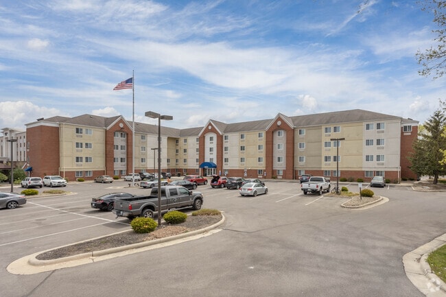
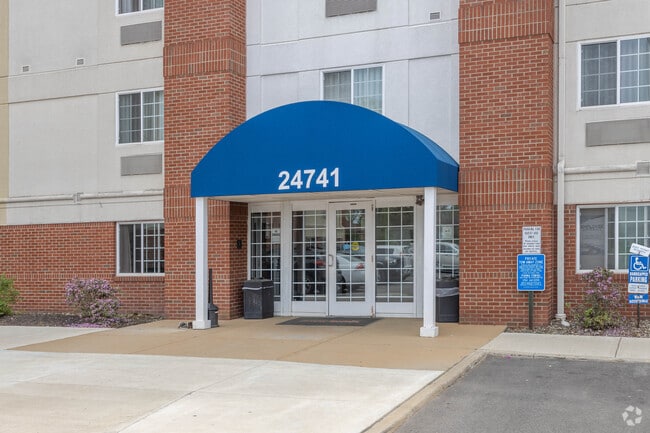
24741 Columbia Rd, North Olmsted, OH 44070

NEARBY LISTINGS FOR SALE OR LEASE
-
-
View all North Olmsted listings for sale on LoopNet.com
Property Detail
24741 Columbia Rd
Cleveland
Olmsted 06
Cleveland-Elyria, OH
TR 6 30 23618008
236-17-004
Cuyahoga
Hotel
Ohio
2024
30
2024
2.75 AC
174205
Cleveland Airport/Westlake
63,498 SF
DEMOGRAPHICS near 24741 Columbia Rd
1 Mile
3 Mile
5 Mile
2024 Total Population
7,766
61,022
176,846
2029 Population
7,536
59,257
172,533
Pop Growth 2024-2029
(2.96%)
(2.89%)
(2.44%)
Average Age
42
44
44
2024 Total Households
3,678
25,986
76,110
HH Growth 2024-2029
(3.21%)
(3.06%)
(2.62%)
Median Household Inc
$57,014
$78,251
$77,150
Avg Household Size
2.10
2.30
2.20
2024 Avg HH Vehicles
2.00
2.00
2.00
Median Home Value
$170,378
$194,769
$202,442
Median Year Built
1965
1966
1966
Nearby Places
Map Layers
Map Styles
 Street
 Aerial
- Restaurants
- Banks
- Shops
- Fitness
- Groceries
PUBLIC TRANSPORTATION
AIRPORT
Cleveland-Hopkins International
DRIVE
WALK
Distance
Cleveland-Hopkins International
8 min
3.1 mi
Freight Ports
Port of Toledo
DRIVE
WALK
Distance
Port of Toledo
117 min
99.3 mi
Nearby Properties
Address
Land Use
TOTAL SIZE
Lot Size
Zoning
Address
Land Use
TOTAL SIZE
Lot Size
Zoning
748.88 AC
GI
Address
Land Use
TOTAL SIZE
Lot Size
Zoning
1,669,041 SF
169.42 AC
U6
Address
Land Use
TOTAL SIZE
Lot Size
Zoning
754.68 AC
GI
Address
Land Use
TOTAL SIZE
Lot Size
Zoning
526.33 AC
GI
Address
Land Use
TOTAL SIZE
Lot Size
Zoning
327,732 SF
57.22 AC
1F
Address
Land Use
TOTAL SIZE
Lot Size
Zoning
321,868 SF
71.81 AC
Address
Land Use
TOTAL SIZE
Lot Size
Zoning
657,013 SF
48.88 AC
SI
Address
Land Use
TOTAL SIZE
Lot Size
Zoning
154,058 SF
29.97 AC
Address
Land Use
TOTAL SIZE
Lot Size
Zoning
457,220 SF
41.84 AC
CRG
Address
Land Use
TOTAL SIZE
Lot Size
Zoning
633,719 SF
17.16 AC
CRG
Address
Land Use
TOTAL SIZE
Lot Size
Zoning
195,990 SF
46.88 AC
RMF-A
Address
Land Use
TOTAL SIZE
Lot Size
Zoning
1,391,445 SF
136.05 AC
GI
Address
Land Use
TOTAL SIZE
Lot Size
Zoning
49.67 AC
SI
Address
Land Use
TOTAL SIZE
Lot Size
Zoning
14.60 AC
1F-4
Address
Land Use
TOTAL SIZE
Lot Size
Zoning
193,858 SF
19.65 AC
R-MF24
Address
Land Use
TOTAL SIZE
Lot Size
Zoning
90,324 SF
6.71 AC
GR
Address
Land Use
TOTAL SIZE
Lot Size
Zoning
64,528 SF
17.67 AC
1F-4
Address
Land Use
TOTAL SIZE
Lot Size
Zoning
176,857 SF
8.62 AC
B-2
Address
Land Use
TOTAL SIZE
Lot Size
Zoning
102,512 SF
5.17 AC
CR
Address
Land Use
TOTAL SIZE
Lot Size
Zoning
24.55 AC
GI
Address
Land Use
TOTAL SIZE
Lot Size
Zoning
244,602 SF
10.31 AC
CR
Address
Land Use
TOTAL SIZE
Lot Size
Zoning
130,030 SF
5.69 AC
RMF-A
Address
Land Use
TOTAL SIZE
Lot Size
Zoning
37.26 AC
SI
Address
Land Use
TOTAL SIZE
Lot Size
Zoning
68,600 SF
58.22 AC
U6
Address
Land Use
TOTAL SIZE
Lot Size
Zoning
93,595 SF
7.46 AC
MFS
Address
Land Use
TOTAL SIZE
Lot Size
Zoning
19,614 SF
353.71 AC
1F-4
Address
Land Use
TOTAL SIZE
Lot Size
Zoning
185,847 SF
17.72 AC
CRG
Address
Land Use
TOTAL SIZE
Lot Size
Zoning
163,501 SF
9.88 AC
CRG
Address
Land Use
TOTAL SIZE
Lot Size
Zoning
122,876 SF
5.74 AC
RT
Address
Land Use
TOTAL SIZE
Lot Size
Zoning
174,721 SF
15.60 AC
The World's #1 Commercial Real Estate Marketplace
Connect with us
© 2025 CoStar Group
The information above has been obtained from sources believed reliable. While we do not doubt its accuracy we have not verified it and make no guarantee, warranty or representation about it. It is your responsibility to independently confirm its accuracy and completeness. Any projections, opinions, assumptions, or estimates used are for example only and do not represent the current or future performance of the property. The value of this transaction to you depends on tax and other factors which should be evaluated by your tax, financial, and legal advisors. You and your advisors should conduct a careful, independent investigation of the property to determine to your satisfaction the suitability of the property for your needs.