Property Record
248 Windsor Ave, Windsor, CT 06095


Property Detail
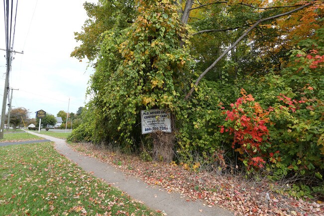
248 Windsor Ave
Hartford-West Hartford-East Hartford, CT
HARTFORD
WIND-000080-000012-000055
Connecticut
Commercialacreage
55
AE The base floodplain where base flood elevations are provided. AE Zones are now used on new format FIRMs instead of A1-A30 Zones.
0.49 AC
2024
Windsor
2025
Hartford
473800
NEARBY LISTINGS FOR SALE OR LEASE
DEMOGRAPHICS near 248 Windsor Ave
1 mile
3 mile
5 mile
2025 Total Population
3,805
72,351
205,439
2030 Population
3,835
73,415
209,276
Pop Growth 2025-2030
+ 0.79%
+ 1.47%
+ 1.87%
Average Age
41
39
39
2025 Total Households
1,476
26,381
82,313
HH Growth 2025-2030
+ 0.75%
+ 1.49%
+ 2.01%
Median Household Inc
$68,035
$56,945
$60,502
Avg Household Size
2.50
2.50
2.30
2025 Avg HH Vehicles
2.00
1.00
1.00
Median Home Value
$236,049
$244,074
$277,839
Median Year Built
1953
1957
1958
Nearby Places
Map Layers
Map Styles
 Street
 Aerial
Transit
 Traffic
 Biking
Places
Listings with unknown addresses are not visible on the map
- Restaurants
- Banks
- Shops
- Fitness
- Groceries
PUBLIC TRANSPORTATION
COMMUTER RAIL
Drive
Walk
Distance
7 min
3.2 mi
Drive
Walk
Distance
8 min
3.2 mi
AIRPORT
Bradley International
Drive
Walk
Distance
Bradley International
21 min
11.8 mi
Freight Ports
Port of New Haven
Drive
Walk
Distance
Port of New Haven
57 min
42.6 mi
SALE & LEASE HISTORY
LISTING DATE
SALE/LEASE

Oct 17, 2016
For Sale
Nearby Properties
Address
Land Use
TOTAL SIZE
Lot Size
Zoning
Address
Land Use
TOTAL SIZE
Lot Size
Zoning
482,566 SF
0.65 AC
DT-2
Address
Land Use
TOTAL SIZE
Lot Size
Zoning
4.13 AC
DT-1
Address
Land Use
TOTAL SIZE
Lot Size
Zoning
13,680 SF
240.83 AC
Address
Land Use
TOTAL SIZE
Lot Size
Zoning
213,017 SF
6.21 AC
DT-3
Address
Land Use
TOTAL SIZE
Lot Size
Zoning
584 AC
OS
Address
Land Use
TOTAL SIZE
Lot Size
Zoning
7.45 AC
CAMP
Address
Land Use
TOTAL SIZE
Lot Size
Zoning
14.56 AC
SDD/BG
Address
Land Use
TOTAL SIZE
Lot Size
Zoning
310,901 SF
28.75 AC
MX-2
Address
Land Use
TOTAL SIZE
Lot Size
Zoning
40,632 SF
1.10 AC
NX-1
Address
Land Use
TOTAL SIZE
Lot Size
Zoning
6.63 AC
DT-1
Address
Land Use
TOTAL SIZE
Lot Size
Zoning
11.85 AC
MX-2
Address
Land Use
TOTAL SIZE
Lot Size
Zoning
172,026 SF
11.64 AC
MX-2
Address
Land Use
TOTAL SIZE
Lot Size
Zoning
10.74 AC
ID-1
Address
Land Use
TOTAL SIZE
Lot Size
Zoning
319,127 SF
2.51 AC
DT-3
Address
Land Use
TOTAL SIZE
Lot Size
Zoning
23.07 AC
CAMP
Address
Land Use
TOTAL SIZE
Lot Size
Zoning
132,110 SF
1 AC
I
Address
Land Use
TOTAL SIZE
Lot Size
Zoning
43,711 SF
1 AC
I
Address
Land Use
TOTAL SIZE
Lot Size
Zoning
717,358 SF
1.70 AC
DT-1
Address
Land Use
TOTAL SIZE
Lot Size
Zoning
82,938 SF
62.53 AC
I-1
Address
Land Use
TOTAL SIZE
Lot Size
Zoning
Address
Land Use
TOTAL SIZE
Lot Size
Zoning
23.99 AC
ID-1
Address
Land Use
TOTAL SIZE
Lot Size
Zoning
893,263 SF
2 AC
DT-3
Address
Land Use
TOTAL SIZE
Lot Size
Zoning
421,152 SF
45.95 AC
CD
Address
Land Use
TOTAL SIZE
Lot Size
Zoning
356,062 SF
23.10 AC
ID-2
Address
Land Use
TOTAL SIZE
Lot Size
Zoning
35.05 AC
FP
Address
Land Use
TOTAL SIZE
Lot Size
Zoning
66.09 AC
CX-2
Address
Land Use
TOTAL SIZE
Lot Size
Zoning
732,135 SF
2.20 AC
DT-1
Address
Land Use
TOTAL SIZE
Lot Size
Zoning
6.61 AC
B-4
Address
Land Use
TOTAL SIZE
Lot Size
Zoning
122,329 SF
4.49 AC
MX-2
Address
Land Use
TOTAL SIZE
Lot Size
Zoning
109,206 SF
4.27 AC
MX-2
The World's #1 Commercial Real Estate Marketplace
Connect with us
© 2026 CoStar Group
The information above has been obtained from sources believed reliable. While we do not doubt its accuracy we have not verified it and make no guarantee, warranty or representation about it. It is your responsibility to independently confirm its accuracy and completeness. Any projections, opinions, assumptions, or estimates used are for example only and do not represent the current or future performance of the property. The value of this transaction to you depends on tax and other factors which should be evaluated by your tax, financial, and legal advisors. You and your advisors should conduct a careful, independent investigation of the property to determine to your satisfaction the suitability of the property for your needs.