Property Record
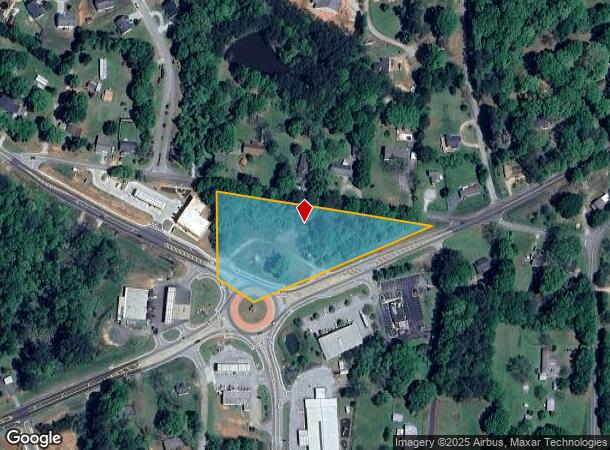
2486 Highway 81 S, Covington, GA 30016


NEARBY LISTINGS FOR SALE OR LEASE
Property Detail
2486 Highway 81 S
0028A00000001000
Hwy 81 / Hwy 162 Corridor
Officebuilding
2.628 AC HWY 81 & SALEM RD
X
Newton
13217C0120D
Georgia
2025
2.63 AC
2025
Newton County
100507
Atlanta
1,280 SF
Atlanta-Sandy Springs-Roswell, GA
DEMOGRAPHICS near 2486 Highway 81 S
1 Mile
3 Mile
5 Mile
2024 Total Population
3,820
28,819
78,290
2029 Population
4,283
31,950
86,610
Pop Growth 2024-2029
+ 12.12%
+ 10.86%
+ 10.63%
Average Age
36
37
37
2024 Total Households
1,242
9,826
27,639
HH Growth 2024-2029
+ 12.40%
+ 11.13%
+ 10.94%
Median Household Inc
$67,731
$72,345
$71,560
Avg Household Size
3.00
2.90
2.80
2024 Avg HH Vehicles
2.00
2.00
2.00
Median Home Value
$155,035
$167,983
$175,804
Median Year Built
2003
1999
1997
Nearby Places
Map Layers
Map Styles
 Street
 Aerial
- Restaurants
- Banks
- Shops
- Fitness
- Groceries
PUBLIC TRANSPORTATION
AIRPORT
Hartsfield - Jackson Atlanta International
DRIVE
WALK
Distance
Hartsfield - Jackson Atlanta International
53 min
37.9 mi
SALE & LEASE HISTORY
LISTING DATE
SALE/LEASE

Sep 24, 2016
For Sale
Nearby Properties
Address
Land Use
TOTAL SIZE
Lot Size
Zoning
Address
Land Use
TOTAL SIZE
Lot Size
Zoning
1,158,095 SF
161.26 AC
Address
Land Use
TOTAL SIZE
Lot Size
Zoning
1,158,095 SF
0.01 AC
Address
Land Use
TOTAL SIZE
Lot Size
Zoning
306,886 SF
118.50 AC
R2
Address
Land Use
TOTAL SIZE
Lot Size
Zoning
19,292 SF
8.20 AC
H1
Address
Land Use
TOTAL SIZE
Lot Size
Zoning
92,162 SF
11.21 AC
R2
Address
Land Use
TOTAL SIZE
Lot Size
Zoning
5,160 SF
45.17 AC
C1
Address
Land Use
TOTAL SIZE
Lot Size
Zoning
82,716 SF
21.04 AC
R2
Address
Land Use
TOTAL SIZE
Lot Size
Zoning
65,008 SF
23.81 AC
R2
Address
Land Use
TOTAL SIZE
Lot Size
Zoning
151,955 SF
26.17 AC
R1
Address
Land Use
TOTAL SIZE
Lot Size
Zoning
64,799 SF
19.10 AC
E6
Address
Land Use
TOTAL SIZE
Lot Size
Zoning
4,768 SF
263.26 AC
C1
Address
Land Use
TOTAL SIZE
Lot Size
Zoning
54,712 SF
54.54 AC
E6
Address
Land Use
TOTAL SIZE
Lot Size
Zoning
66,660 SF
12.80 AC
C1
Address
Land Use
TOTAL SIZE
Lot Size
Zoning
65,360 SF
20 AC
E6
Address
Land Use
TOTAL SIZE
Lot Size
Zoning
36,615 SF
9.78 AC
E2
Address
Land Use
TOTAL SIZE
Lot Size
Zoning
58,892 SF
17.52 AC
E6
Address
Land Use
TOTAL SIZE
Lot Size
Zoning
311,423 SF
20.78 AC
I1
Address
Land Use
TOTAL SIZE
Lot Size
Zoning
331.12 AC
AR
Address
Land Use
TOTAL SIZE
Lot Size
Zoning
4,576 SF
1.46 AC
Address
Land Use
TOTAL SIZE
Lot Size
Zoning
10,714 SF
1.87 AC
Address
Land Use
TOTAL SIZE
Lot Size
Zoning
11,862 SF
1.76 AC
C1
Address
Land Use
TOTAL SIZE
Lot Size
Zoning
14,328 SF
1.20 AC
C1
Address
Land Use
TOTAL SIZE
Lot Size
Zoning
296.48 AC
AR
Address
Land Use
TOTAL SIZE
Lot Size
Zoning
292.79 AC
AR
Address
Land Use
TOTAL SIZE
Lot Size
Zoning
2,858 SF
11 AC
R1
Address
Land Use
TOTAL SIZE
Lot Size
Zoning
383.52 AC
Address
Land Use
TOTAL SIZE
Lot Size
Zoning
2,120 SF
229.12 AC
AR
Address
Land Use
TOTAL SIZE
Lot Size
Zoning
30,456 SF
6.99 AC
R2
Address
Land Use
TOTAL SIZE
Lot Size
Zoning
672 SF
5.13 AC
E1
Address
Land Use
TOTAL SIZE
Lot Size
Zoning
8,000 SF
2.38 AC
C1
The World's #1 Commercial Real Estate Marketplace
Connect with us
© 2025 CoStar Group
The information above has been obtained from sources believed reliable. While we do not doubt its accuracy we have not verified it and make no guarantee, warranty or representation about it. It is your responsibility to independently confirm its accuracy and completeness. Any projections, opinions, assumptions, or estimates used are for example only and do not represent the current or future performance of the property. The value of this transaction to you depends on tax and other factors which should be evaluated by your tax, financial, and legal advisors. You and your advisors should conduct a careful, independent investigation of the property to determine to your satisfaction the suitability of the property for your needs.