Property Record
24861 State Highway 74, Perris, CA 92570


Save to a Folder
{{folder.Name}}
{{folder.ListingIds.length}} Properties
{{folder.ListingIds.length}} Property
Create a New Folder
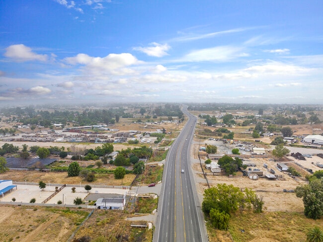
Property Detail
24861 State Highway 74
342-120-048
2.22 ACRES M/L IN POR LOT 23 BLK B MB 012/004 GOOD HOPE ACRES ADD 2
Mobilehomepark
RIVERSIDE
RR
California
D Areas with possible but undetermined flood hazards.
23
2025
2.22 AC
2025
Moreno Valley/Perris
042902
Inland Empire (California)
1,440 SF
Riverside-San Bernardino-Ontario, CA
NEARBY LISTINGS FOR SALE OR LEASE
DEMOGRAPHICS near 24861 State Highway 74
1 mile
3 mile
5 mile
2025 Total Population
3,941
28,968
87,629
2030 Population
4,054
29,659
90,218
Pop Growth 2025-2030
+ 2.87%
+ 2.39%
+ 2.95%
Average Age
34
34
36
2025 Total Households
911
7,089
23,446
HH Growth 2025-2030
+ 2.85%
+ 2.20%
+ 2.77%
Median Household Inc
$48,947
$73,566
$75,718
Avg Household Size
4.00
3.90
3.60
2025 Avg HH Vehicles
3.00
3.00
2.00
Median Home Value
$367,592
$444,837
$449,196
Median Year Built
1980
1985
1989
Nearby Places
Map Layers
Map Styles
 Street
 Aerial
Layers
 Traffic
 Biking
Places
Listings with unknown addresses are not visible on the map
- Restaurants
- Banks
- Shops
- Fitness
- Groceries
PUBLIC TRANSPORTATION
COMMUTER RAIL
Perris Downtown (Metrolink 91-Perris Valley Line - Metrolink Trains)
Drive
Walk
Distance
Perris Downtown (Metrolink 91-Perris Valley Line - Metrolink Trains)
5 min
3.2 mi
South Perris (Metrolink 91-Perris Valley Line - Metrolink Trains)
Drive
Walk
Distance
South Perris (Metrolink 91-Perris Valley Line - Metrolink Trains)
8 min
5.1 mi
AIRPORT
Ontario International
Drive
Walk
Distance
Ontario International
47 min
37.2 mi
Freight Ports
Port of Long Beach
Drive
Walk
Distance
Port of Long Beach
87 min
68.9 mi
SALE & LEASE HISTORY
LISTING DATE
SALE/LEASE

Oct 20, 2023
For Sale
Feb 04, 2020
For Sale
Dec 13, 2024
For Sale
Nearby Properties
Address
Land Use
TOTAL SIZE
Lot Size
Zoning
Address
Land Use
TOTAL SIZE
Lot Size
Zoning
57,600 SF
51.69 AC
Address
Land Use
TOTAL SIZE
Lot Size
Zoning
1,080 SF
9.53 AC
A02
Address
Land Use
TOTAL SIZE
Lot Size
Zoning
3,750 SF
37.79 AC
GI
Address
Land Use
TOTAL SIZE
Lot Size
Zoning
198.39 AC
RR
Address
Land Use
TOTAL SIZE
Lot Size
Zoning
17,976 SF
6.03 AC
Address
Land Use
TOTAL SIZE
Lot Size
Zoning
17,776 SF
14.92 AC
Address
Land Use
TOTAL SIZE
Lot Size
Zoning
5,460 SF
5.60 AC
M2
Address
Land Use
TOTAL SIZE
Lot Size
Zoning
27,448 SF
0.95 AC
M1
Address
Land Use
TOTAL SIZE
Lot Size
Zoning
80,158 SF
2.47 AC
DTSP
Address
Land Use
TOTAL SIZE
Lot Size
Zoning
71,741 SF
32.78 AC
Address
Land Use
TOTAL SIZE
Lot Size
Zoning
8,900 SF
1.68 AC
C1
Address
Land Use
TOTAL SIZE
Lot Size
Zoning
59,711 SF
2.60 AC
Address
Land Use
TOTAL SIZE
Lot Size
Zoning
77,850 SF
12.14 AC
LI
Address
Land Use
TOTAL SIZE
Lot Size
Zoning
50,460 SF
2.53 AC
Address
Land Use
TOTAL SIZE
Lot Size
Zoning
50,120 SF
2.51 AC
Address
Land Use
TOTAL SIZE
Lot Size
Zoning
12,260 SF
1.40 AC
CC
Address
Land Use
TOTAL SIZE
Lot Size
Zoning
7,549 SF
1.97 AC
RR
Address
Land Use
TOTAL SIZE
Lot Size
Zoning
14,650 SF
3.32 AC
M2
Address
Land Use
TOTAL SIZE
Lot Size
Zoning
23,700 SF
2.61 AC
Address
Land Use
TOTAL SIZE
Lot Size
Zoning
42,500 SF
5 AC
LI
The World's #1 Commercial Real Estate Marketplace
Connect with us
© 2026 CoStar Group
The information above has been obtained from sources believed reliable. While we do not doubt its accuracy we have not verified it and make no guarantee, warranty or representation about it. It is your responsibility to independently confirm its accuracy and completeness. Any projections, opinions, assumptions, or estimates used are for example only and do not represent the current or future performance of the property. The value of this transaction to you depends on tax and other factors which should be evaluated by your tax, financial, and legal advisors. You and your advisors should conduct a careful, independent investigation of the property to determine to your satisfaction the suitability of the property for your needs.