Property Record
2497 Parkinson Rd, Ferris, TX 75125
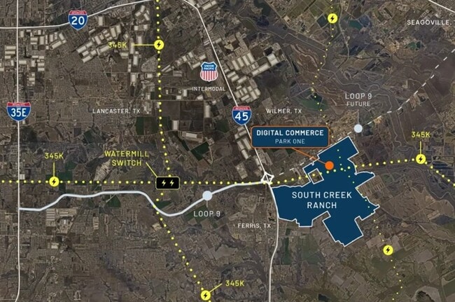
NEARBY LISTINGS FOR SALE OR LEASE
Property Detail
2497 Parkinson Rd
65152510510090000
Martin West
Privatepreserveopenspacevacantlandforestlandconservation
DANIEL DAVIS ABST 424 PG 290 TR 10 ACS 9.70 ADJ 65074818010020000 VOL2002222/11141 DD01012002 CO-DC 0424290101000 28704242901
X
Dallas
48113C0660K
Texas
2024
40 AC
2025
Mesquite/Forney/Terrell
060104
Dallas/Ft Worth
2,500 SF
Dallas-Fort Worth-Arlington, TX
DEMOGRAPHICS near 2497 Parkinson Rd
1 Mile
3 Mile
5 Mile
2024 Total Population
2
5,059
13,845
2029 Population
2
7,468
18,573
Pop Growth 2024-2029
0.00%
+ 47.62%
+ 34.15%
Average Age
0
37
36
2024 Total Households
1
1,671
4,416
HH Growth 2024-2029
0.00%
+ 48.17%
+ 35.33%
Median Household Inc
$0
$73,033
$65,273
Avg Household Size
.00
3.00
3.10
2024 Avg HH Vehicles
.00
2.00
2.00
Median Home Value
$0
$201,656
$211,496
Median Year Built
0
1990
1995
Nearby Places
Map Layers
Map Styles
 Street
 Aerial
- Restaurants
- Banks
- Shops
- Fitness
- Groceries
PUBLIC TRANSPORTATION
AIRPORT
Dallas Love Field
DRIVE
WALK
Distance
Dallas Love Field
37 min
26.0 mi
Freight Ports
Port of Shreveport
DRIVE
WALK
Distance
Port of Shreveport
213 min
190.4 mi
Nearby Properties
Address
Land Use
TOTAL SIZE
Lot Size
Zoning
Address
Land Use
TOTAL SIZE
Lot Size
Zoning
62.41 AC
Z31
Address
Land Use
TOTAL SIZE
Lot Size
Zoning
1,021,601 SF
79.42 AC
Z268
Address
Land Use
TOTAL SIZE
Lot Size
Zoning
202,439 SF
12.48 AC
Z31
Address
Land Use
TOTAL SIZE
Lot Size
Zoning
392,066 SF
23.52 AC
Address
Land Use
TOTAL SIZE
Lot Size
Zoning
266,199 SF
33.27 AC
Address
Land Use
TOTAL SIZE
Lot Size
Zoning
370,139 SF
15.42 AC
Z268
Address
Land Use
TOTAL SIZE
Lot Size
Zoning
174,802 SF
8.67 AC
Address
Land Use
TOTAL SIZE
Lot Size
Zoning
143,771 SF
130.33 AC
Z123
Address
Land Use
TOTAL SIZE
Lot Size
Zoning
174,802 SF
8.67 AC
Z05
Address
Land Use
TOTAL SIZE
Lot Size
Zoning
97,372 SF
42.82 AC
Z31
Address
Land Use
TOTAL SIZE
Lot Size
Zoning
12,444 SF
5 AC
Address
Land Use
TOTAL SIZE
Lot Size
Zoning
84.71 AC
Z268
Address
Land Use
TOTAL SIZE
Lot Size
Zoning
1,400 SF
75.81 AC
Z05
Address
Land Use
TOTAL SIZE
Lot Size
Zoning
13,000 SF
4.99 AC
Address
Land Use
TOTAL SIZE
Lot Size
Zoning
20.01 AC
Z05
Address
Land Use
TOTAL SIZE
Lot Size
Zoning
129.50 AC
Z268
Address
Land Use
TOTAL SIZE
Lot Size
Zoning
25,780 SF
100.30 AC
Z05
Address
Land Use
TOTAL SIZE
Lot Size
Zoning
122.47 AC
Z268
Address
Land Use
TOTAL SIZE
Lot Size
Zoning
26.47 AC
Z05
Address
Land Use
TOTAL SIZE
Lot Size
Zoning
22,736 SF
9.03 AC
Address
Land Use
TOTAL SIZE
Lot Size
Zoning
87.15 AC
Z268
Address
Land Use
TOTAL SIZE
Lot Size
Zoning
4,820.86 AC
Address
Land Use
TOTAL SIZE
Lot Size
Zoning
17,175 SF
30.59 AC
Address
Land Use
TOTAL SIZE
Lot Size
Zoning
30,000 SF
30.55 AC
Z05
Address
Land Use
TOTAL SIZE
Lot Size
Zoning
85.83 AC
Z05
Address
Land Use
TOTAL SIZE
Lot Size
Zoning
58.31 AC
Z268
Address
Land Use
TOTAL SIZE
Lot Size
Zoning
17,030 SF
1.08 AC
Address
Land Use
TOTAL SIZE
Lot Size
Zoning
22.77 AC
Z31
Address
Land Use
TOTAL SIZE
Lot Size
Zoning
56.52 AC
Z31
Address
Land Use
TOTAL SIZE
Lot Size
Zoning
13,500 SF
3 AC
The World's #1 Commercial Real Estate Marketplace
Connect with us
© 2025 CoStar Group
The information above has been obtained from sources believed reliable. While we do not doubt its accuracy we have not verified it and make no guarantee, warranty or representation about it. It is your responsibility to independently confirm its accuracy and completeness. Any projections, opinions, assumptions, or estimates used are for example only and do not represent the current or future performance of the property. The value of this transaction to you depends on tax and other factors which should be evaluated by your tax, financial, and legal advisors. You and your advisors should conduct a careful, independent investigation of the property to determine to your satisfaction the suitability of the property for your needs.