Property Record
25 Union St, Struthers, OH 44471


Property Detail
25 Union St
Youngstown-Warren, OH
LOT 6816
46-004-0-166.01-0
Mahoning
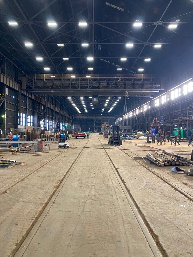
Heavyindustrial
Ohio
2025
6816
2025
6.64 AC
810200
Mahoning County
163,344 SF
Youngstown/Warren/Boardman
NEARBY LISTINGS FOR SALE OR LEASE
DEMOGRAPHICS near 25 Union St
1 mile
3 mile
5 mile
2025 Total Population
6,864
46,511
104,970
2030 Population
6,962
46,552
105,137
Pop Growth 2025-2030
+ 1.43%
+ 0.09%
+ 0.16%
Average Age
38
41
41
2025 Total Households
2,814
19,911
43,919
HH Growth 2025-2030
+ 1.42%
+ 0.04%
+ 0.15%
Median Household Inc
$36,073
$44,243
$45,566
Avg Household Size
2.40
2.20
2.20
2025 Avg HH Vehicles
2.00
2.00
2.00
Median Home Value
$65,666
$87,939
$111,740
Median Year Built
1950
1953
1954
Nearby Places
Map Layers
Map Styles
 Street
 Aerial
Layers
 Traffic
 Biking
Places
Listings with unknown addresses are not visible on the map
- Restaurants
- Banks
- Shops
- Fitness
- Groceries
SALE & LEASE HISTORY
LISTING DATE
SALE/LEASE

Jan 11, 2021
For Sale
Nearby Properties
Address
Land Use
TOTAL SIZE
Lot Size
Zoning
Address
Land Use
TOTAL SIZE
Lot Size
Zoning
207,180 SF
30.10 AC
Address
Land Use
TOTAL SIZE
Lot Size
Zoning
218,000 SF
13.95 AC
Address
Land Use
TOTAL SIZE
Lot Size
Zoning
Address
Land Use
TOTAL SIZE
Lot Size
Zoning
139,416 SF
9.06 AC
Address
Land Use
TOTAL SIZE
Lot Size
Zoning
0.53 AC
Address
Land Use
TOTAL SIZE
Lot Size
Zoning
115,720 SF
77.12 AC
AG
Address
Land Use
TOTAL SIZE
Lot Size
Zoning
15.60 AC
Address
Land Use
TOTAL SIZE
Lot Size
Zoning
121,281 SF
11.79 AC
Address
Land Use
TOTAL SIZE
Lot Size
Zoning
79,778 SF
5.85 AC
Address
Land Use
TOTAL SIZE
Lot Size
Zoning
259,148 SF
15 AC
Address
Land Use
TOTAL SIZE
Lot Size
Zoning
56,688 SF
10.33 AC
R1
Address
Land Use
TOTAL SIZE
Lot Size
Zoning
66,482 SF
10.80 AC
Address
Land Use
TOTAL SIZE
Lot Size
Zoning
140,132 SF
8.91 AC
C
Address
Land Use
TOTAL SIZE
Lot Size
Zoning
58,865 SF
4.80 AC
Address
Land Use
TOTAL SIZE
Lot Size
Zoning
74,523 SF
4.04 AC
Address
Land Use
TOTAL SIZE
Lot Size
Zoning
164,368 SF
31.04 AC
Address
Land Use
TOTAL SIZE
Lot Size
Zoning
46,245 SF
18.76 AC
Address
Land Use
TOTAL SIZE
Lot Size
Zoning
165,600 SF
10.50 AC
Address
Land Use
TOTAL SIZE
Lot Size
Zoning
Address
Land Use
TOTAL SIZE
Lot Size
Zoning
121,681 SF
5.85 AC
Address
Land Use
TOTAL SIZE
Lot Size
Zoning
47,337 SF
6.08 AC
Address
Land Use
TOTAL SIZE
Lot Size
Zoning
109,604 SF
6.91 AC
Address
Land Use
TOTAL SIZE
Lot Size
Zoning
44,390 SF
13.75 AC
R2
Address
Land Use
TOTAL SIZE
Lot Size
Zoning
52,757 SF
5.32 AC
Address
Land Use
TOTAL SIZE
Lot Size
Zoning
65,393 SF
10.73 AC
I
Address
Land Use
TOTAL SIZE
Lot Size
Zoning
178,520 SF
7.95 AC
I
Address
Land Use
TOTAL SIZE
Lot Size
Zoning
64,307 SF
1.85 AC
R2
Address
Land Use
TOTAL SIZE
Lot Size
Zoning
48,225 SF
8.39 AC
C
Address
Land Use
TOTAL SIZE
Lot Size
Zoning
27,670 SF
10.65 AC
Address
Land Use
TOTAL SIZE
Lot Size
Zoning
90,090 SF
7.72 AC
The World's #1 Commercial Real Estate Marketplace
Connect with us
© 2026 CoStar Group
The information above has been obtained from sources believed reliable. While we do not doubt its accuracy we have not verified it and make no guarantee, warranty or representation about it. It is your responsibility to independently confirm its accuracy and completeness. Any projections, opinions, assumptions, or estimates used are for example only and do not represent the current or future performance of the property. The value of this transaction to you depends on tax and other factors which should be evaluated by your tax, financial, and legal advisors. You and your advisors should conduct a careful, independent investigation of the property to determine to your satisfaction the suitability of the property for your needs.