Property Record
250 Arrowhead Trl, Spanish Fork, UT 84660


Save to a Folder
{{folder.Name}}
{{folder.ListingIds.length}} Properties
{{folder.ListingIds.length}} Property
Create a New Folder
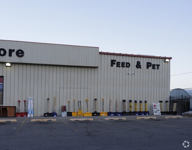
Property Detail
250 Arrowhead Trl
Provo-Orem-Lehi, UT
COM S 174.92 FT & W 1240.93 FT FR E1/4 COR SEC 25, T8S, R2E, SLM; S 48 DEG 41W 377.31 FT; N 24 DEG 05W 286.54 FT; N 9 DEG 2007E 46.75 FT; N 23 DEG 4616E 338 FT; N 59 DEG 0457E 23.36 FT; N 74 DEG 4220E 232.34 FT; S 1 DEG 3607E 441.4 FT TO BEG. AREA 4.
25-027-0003
Utah
Storebuilding
Utah
2025
4.14 AC
2026
Utah County
010406
Salt Lake City
18,090 SF
NEARBY LISTINGS FOR SALE OR LEASE
DEMOGRAPHICS near 250 Arrowhead Trl
1 mile
3 mile
5 mile
2025 Total Population
5,236
49,030
90,350
2030 Population
5,809
53,872
100,033
Pop Growth 2025-2030
+ 10.94%
+ 9.88%
+ 10.72%
Average Age
32
32
33
2025 Total Households
1,479
13,489
24,691
HH Growth 2025-2030
+ 11.36%
+ 10.60%
+ 11.43%
Median Household Inc
$106,653
$105,074
$106,899
Avg Household Size
3.60
3.60
3.60
2025 Avg HH Vehicles
3.00
3.00
3.00
Median Home Value
$567,402
$526,663
$579,583
Median Year Built
2002
2001
2003
Nearby Places
Map Layers
Map Styles
 Street
 Aerial
Layers
 Traffic
 Biking
Places
Listings with unknown addresses are not visible on the map
- Restaurants
- Banks
- Shops
- Fitness
- Groceries
PUBLIC TRANSPORTATION
COMMUTER RAIL
Provo Central Station (FrontRunner - Utah Transit Authority (UTA))
Drive
Walk
Distance
Provo Central Station (FrontRunner - Utah Transit Authority (UTA))
15 min
10.0 mi
Provo Amtrak (California Zephyr - Amtrak)
Drive
Walk
Distance
Provo Amtrak (California Zephyr - Amtrak)
16 min
10.0 mi
AIRPORT
Provo Municipal
Drive
Walk
Distance
Provo Municipal
19 min
12.0 mi
Freight Ports
Port of Stockton
Drive
Walk
Distance
Port of Stockton
769 min
748.5 mi
Nearby Properties
Address
Land Use
TOTAL SIZE
Lot Size
Zoning
Address
Land Use
TOTAL SIZE
Lot Size
Zoning
44,552 SF
29.78 AC
Address
Land Use
TOTAL SIZE
Lot Size
Zoning
92,323 SF
8.96 AC
Address
Land Use
TOTAL SIZE
Lot Size
Zoning
204,890 SF
15.28 AC
Address
Land Use
TOTAL SIZE
Lot Size
Zoning
271,536 SF
11.80 AC
Address
Land Use
TOTAL SIZE
Lot Size
Zoning
243,888 SF
32.23 AC
Address
Land Use
TOTAL SIZE
Lot Size
Zoning
159,679 SF
12.91 AC
Address
Land Use
TOTAL SIZE
Lot Size
Zoning
134,564 SF
8.03 AC
Address
Land Use
TOTAL SIZE
Lot Size
Zoning
327,768 SF
29.36 AC
Address
Land Use
TOTAL SIZE
Lot Size
Zoning
149,046 SF
12.10 AC
Address
Land Use
TOTAL SIZE
Lot Size
Zoning
96,665 SF
22.25 AC
Address
Land Use
TOTAL SIZE
Lot Size
Zoning
120,141 SF
7.71 AC
Address
Land Use
TOTAL SIZE
Lot Size
Zoning
112,094 SF
10.34 AC
Address
Land Use
TOTAL SIZE
Lot Size
Zoning
51,750 SF
4.73 AC
Address
Land Use
TOTAL SIZE
Lot Size
Zoning
171,101 SF
11.65 AC
Address
Land Use
TOTAL SIZE
Lot Size
Zoning
729,831 SF
66.60 AC
RA5
Address
Land Use
TOTAL SIZE
Lot Size
Zoning
93,850 SF
6.61 AC
Address
Land Use
TOTAL SIZE
Lot Size
Zoning
181,993 SF
5.01 AC
Address
Land Use
TOTAL SIZE
Lot Size
Zoning
Address
Land Use
TOTAL SIZE
Lot Size
Zoning
62,203 SF
2.13 AC
Address
Land Use
TOTAL SIZE
Lot Size
Zoning
71,691 SF
5.52 AC
Address
Land Use
TOTAL SIZE
Lot Size
Zoning
110,762 SF
6.08 AC
Address
Land Use
TOTAL SIZE
Lot Size
Zoning
Address
Land Use
TOTAL SIZE
Lot Size
Zoning
1,250 SF
6.77 AC
Address
Land Use
TOTAL SIZE
Lot Size
Zoning
110,919 SF
7.91 AC
Address
Land Use
TOTAL SIZE
Lot Size
Zoning
51,530 SF
4.58 AC
Address
Land Use
TOTAL SIZE
Lot Size
Zoning
Address
Land Use
TOTAL SIZE
Lot Size
Zoning
Address
Land Use
TOTAL SIZE
Lot Size
Zoning
110,686 SF
2.46 AC
Address
Land Use
TOTAL SIZE
Lot Size
Zoning
110,686 SF
2.02 AC
Address
Land Use
TOTAL SIZE
Lot Size
Zoning
89,591 SF
9.01 AC
The World's #1 Commercial Real Estate Marketplace
Connect with us
© 2026 CoStar Group
The information above has been obtained from sources believed reliable. While we do not doubt its accuracy we have not verified it and make no guarantee, warranty or representation about it. It is your responsibility to independently confirm its accuracy and completeness. Any projections, opinions, assumptions, or estimates used are for example only and do not represent the current or future performance of the property. The value of this transaction to you depends on tax and other factors which should be evaluated by your tax, financial, and legal advisors. You and your advisors should conduct a careful, independent investigation of the property to determine to your satisfaction the suitability of the property for your needs.