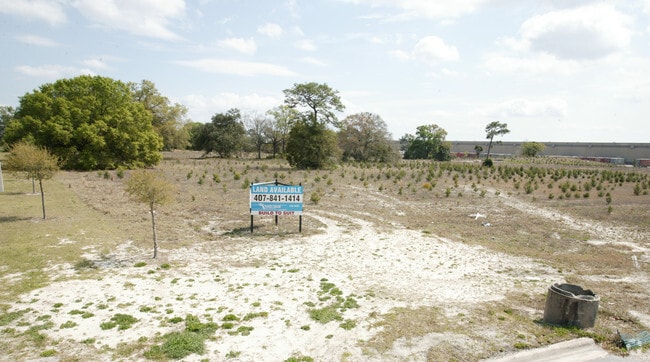
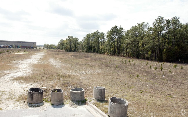
Property Record
250 Busch Dr E, Jacksonville, FL 32218

Property Detail
250 Busch Dr E
108764-0510
07-1S-27E 30.26 PT RECD O/R 18782-2212 IMESON INDUSTRIAL PARK
Warehouse
DUVAL
CCG-2
Florida
B and X Area of moderate flood hazard, usually the area between the limits of the 100-year and 500-year floods.
1, 2
2025
31.03 AC
2026
Northeast Jacksonville
010202
Jacksonville (Florida)
477,945 SF
Jacksonville, FL
NEARBY LISTINGS FOR SALE OR LEASE
DEMOGRAPHICS near 250 Busch Dr E
1 mile
3 mile
5 mile
2025 Total Population
1,533
35,851
117,851
2030 Population
1,619
38,064
125,738
Pop Growth 2025-2030
+ 5.61%
+ 6.17%
+ 6.69%
Average Age
40
38
39
2025 Total Households
609
14,101
45,699
HH Growth 2025-2030
+ 5.91%
+ 6.54%
+ 7.02%
Median Household Inc
$76,202
$58,670
$55,370
Avg Household Size
2.50
2.50
2.50
2025 Avg HH Vehicles
2.00
2.00
2.00
Median Home Value
$249,259
$239,766
$248,392
Median Year Built
1969
1985
1983
Nearby Places
Map Layers
Map Styles
 Street
 Aerial
Transit
 Traffic
 Biking
Places
Listings with unknown addresses are not visible on the map
- Restaurants
- Banks
- Shops
- Fitness
- Groceries
PUBLIC TRANSPORTATION
COMMUTER RAIL
Jacksonville (Silver Meteor - Amtrak, Silver Star - Amtrak)
Drive
Walk
Distance
Jacksonville (Silver Meteor - Amtrak, Silver Star - Amtrak)
17 min
8.4 mi
AIRPORT
Jacksonville International
Drive
Walk
Distance
Jacksonville International
16 min
7.9 mi
Freight Ports
Jacksonville Port
Drive
Walk
Distance
Jacksonville Port
15 min
6.6 mi
Nearby Properties
Address
Land Use
TOTAL SIZE
Lot Size
Zoning
Address
Land Use
TOTAL SIZE
Lot Size
Zoning
1,064,086 SF
87.81 AC
IL
Address
Land Use
TOTAL SIZE
Lot Size
Zoning
1,009,974 SF
62.96 AC
PUD
Address
Land Use
TOTAL SIZE
Lot Size
Zoning
608,297 SF
49.09 AC
IBP
Address
Land Use
TOTAL SIZE
Lot Size
Zoning
336,852 SF
32.69 AC
IL
Address
Land Use
TOTAL SIZE
Lot Size
Zoning
1,170,252 SF
201.15 AC
IH
Address
Land Use
TOTAL SIZE
Lot Size
Zoning
823,286 SF
53.36 AC
IL
Address
Land Use
TOTAL SIZE
Lot Size
Zoning
1,678,675 SF
73.48 AC
IL
Address
Land Use
TOTAL SIZE
Lot Size
Zoning
403,103 SF
31.05 AC
PUD
Address
Land Use
TOTAL SIZE
Lot Size
Zoning
307,351 SF
34.25 AC
PUD
Address
Land Use
TOTAL SIZE
Lot Size
Zoning
588,053 SF
33.10 AC
PUD
Address
Land Use
TOTAL SIZE
Lot Size
Zoning
556,862 SF
27.25 AC
IL
Address
Land Use
TOTAL SIZE
Lot Size
Zoning
556,016 SF
25.95 AC
IH
Address
Land Use
TOTAL SIZE
Lot Size
Zoning
740,260 SF
59.11 AC
IL
Address
Land Use
TOTAL SIZE
Lot Size
Zoning
428,690 SF
29.57 AC
IL
Address
Land Use
TOTAL SIZE
Lot Size
Zoning
408,384 SF
23.77 AC
IL
Address
Land Use
TOTAL SIZE
Lot Size
Zoning
321,938 SF
29.46 AC
CCG-1
Address
Land Use
TOTAL SIZE
Lot Size
Zoning
841,077 SF
241.17 AC
PUD
Address
Land Use
TOTAL SIZE
Lot Size
Zoning
287,410 SF
43.31 AC
RMD-C
Address
Land Use
TOTAL SIZE
Lot Size
Zoning
214,742 SF
20.13 AC
PUD
Address
Land Use
TOTAL SIZE
Lot Size
Zoning
313,741 SF
37.05 AC
RMD-C
Address
Land Use
TOTAL SIZE
Lot Size
Zoning
478,803 SF
24.43 AC
IL
Address
Land Use
TOTAL SIZE
Lot Size
Zoning
170,638 SF
10.77 AC
PUD
Address
Land Use
TOTAL SIZE
Lot Size
Zoning
210,520 SF
34.87 AC
PUD
Address
Land Use
TOTAL SIZE
Lot Size
Zoning
303,200 SF
17.47 AC
IL
Address
Land Use
TOTAL SIZE
Lot Size
Zoning
274,834 SF
17.84 AC
IW
Address
Land Use
TOTAL SIZE
Lot Size
Zoning
282,099 SF
14.53 AC
IL
Address
Land Use
TOTAL SIZE
Lot Size
Zoning
283,689 SF
21.28 AC
RLD-60
Address
Land Use
TOTAL SIZE
Lot Size
Zoning
269,278 SF
18.95 AC
IL
Address
Land Use
TOTAL SIZE
Lot Size
Zoning
237,480 SF
19.61 AC
PUD
The World's #1 Commercial Real Estate Marketplace
Connect with us
© 2026 CoStar Group
The information above has been obtained from sources believed reliable. While we do not doubt its accuracy we have not verified it and make no guarantee, warranty or representation about it. It is your responsibility to independently confirm its accuracy and completeness. Any projections, opinions, assumptions, or estimates used are for example only and do not represent the current or future performance of the property. The value of this transaction to you depends on tax and other factors which should be evaluated by your tax, financial, and legal advisors. You and your advisors should conduct a careful, independent investigation of the property to determine to your satisfaction the suitability of the property for your needs.