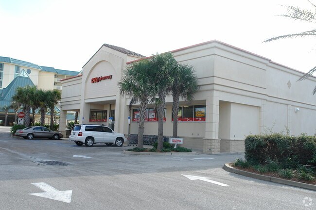
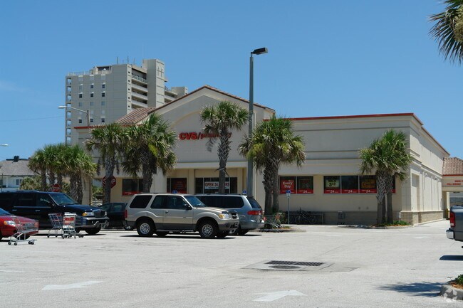
Property Record
250 E Granada Blvd, Ormond Beach, FL 32176

Property Detail
250 E Granada Blvd
4214-09-08-0020
LOTS 1 TO 7 BLK 8 ORMOND BEACH & ADJ VACATED STREETS ALL LYING W OF NEW A 1 A S OF GRANADA & E OF ATL AVE EXC ADDITIONAL R/W MEAS 228.02 FT ON E/L PER OR 4545 PG 4882
Storemultistory
Volusia
13B4
Florida
B and X Area of moderate flood hazard, usually the area between the limits of the 100-year and 500-year floods.
1-7
2025
1.26 AC
2026
Ormond Beach
080400
Deltona/Daytona Beach
12,616 SF
Deltona-Daytona Beach-Ormond Beach, FL
NEARBY LISTINGS FOR SALE OR LEASE
DEMOGRAPHICS near 250 E Granada Blvd
1 mile
3 mile
5 mile
2025 Total Population
3,256
34,388
89,503
2030 Population
3,551
37,315
96,923
Pop Growth 2025-2030
+ 9.06%
+ 8.51%
+ 8.29%
Average Age
50
49
47
2025 Total Households
1,616
16,286
41,362
HH Growth 2025-2030
+ 8.97%
+ 8.64%
+ 8.43%
Median Household Inc
$63,417
$59,183
$56,952
Avg Household Size
2.00
2.00
2.10
2025 Avg HH Vehicles
2.00
2.00
2.00
Median Home Value
$485,680
$367,485
$330,816
Median Year Built
1973
1974
1976
Nearby Places
Map Layers
Map Styles
 Street
 Aerial
Layers
 Traffic
 Biking
Places
Listings with unknown addresses are not visible on the map
- Restaurants
- Banks
- Shops
- Fitness
- Groceries
PUBLIC TRANSPORTATION
AIRPORT
Daytona Beach International
Drive
Walk
Distance
Daytona Beach International
25 min
12.1 mi
Nearby Properties
Address
Land Use
TOTAL SIZE
Lot Size
Zoning
Address
Land Use
TOTAL SIZE
Lot Size
Zoning
300,760 SF
20.75 AC
Address
Land Use
TOTAL SIZE
Lot Size
Zoning
403,130 SF
28.45 AC
Address
Land Use
TOTAL SIZE
Lot Size
Zoning
16.50 AC
Address
Land Use
TOTAL SIZE
Lot Size
Zoning
Address
Land Use
TOTAL SIZE
Lot Size
Zoning
Address
Land Use
TOTAL SIZE
Lot Size
Zoning
168,456 SF
15.74 AC
Address
Land Use
TOTAL SIZE
Lot Size
Zoning
144,576 SF
11.19 AC
13R6
Address
Land Use
TOTAL SIZE
Lot Size
Zoning
179,868 SF
0.33 AC
Address
Land Use
TOTAL SIZE
Lot Size
Zoning
102,266 SF
2.20 AC
02T1
Address
Land Use
TOTAL SIZE
Lot Size
Zoning
Address
Land Use
TOTAL SIZE
Lot Size
Zoning
Address
Land Use
TOTAL SIZE
Lot Size
Zoning
135,886 SF
1.18 AC
Address
Land Use
TOTAL SIZE
Lot Size
Zoning
119,331 SF
9.09 AC
Address
Land Use
TOTAL SIZE
Lot Size
Zoning
96,309 SF
29.04 AC
Address
Land Use
TOTAL SIZE
Lot Size
Zoning
125,088 SF
10.66 AC
B3
Address
Land Use
TOTAL SIZE
Lot Size
Zoning
94,926 SF
3.85 AC
Address
Land Use
TOTAL SIZE
Lot Size
Zoning
208,503 SF
2.18 AC
02T1
Address
Land Use
TOTAL SIZE
Lot Size
Zoning
68,131 SF
5.53 AC
Address
Land Use
TOTAL SIZE
Lot Size
Zoning
102,345 SF
2.74 AC
Address
Land Use
TOTAL SIZE
Lot Size
Zoning
57,875 SF
1.95 AC
13B6
Address
Land Use
TOTAL SIZE
Lot Size
Zoning
Address
Land Use
TOTAL SIZE
Lot Size
Zoning
98,646 SF
6.88 AC
13B4
Address
Land Use
TOTAL SIZE
Lot Size
Zoning
Address
Land Use
TOTAL SIZE
Lot Size
Zoning
85,950 SF
8.24 AC
Address
Land Use
TOTAL SIZE
Lot Size
Zoning
66,896 SF
7.65 AC
B4
Address
Land Use
TOTAL SIZE
Lot Size
Zoning
89,633 SF
9.66 AC
13R6
Address
Land Use
TOTAL SIZE
Lot Size
Zoning
66,266 SF
1.64 AC
Address
Land Use
TOTAL SIZE
Lot Size
Zoning
168,855 SF
4.58 AC
B4
Address
Land Use
TOTAL SIZE
Lot Size
Zoning
Address
Land Use
TOTAL SIZE
Lot Size
Zoning
2,992 SF
3.27 AC
13B6
The World's #1 Commercial Real Estate Marketplace
Connect with us
© 2026 CoStar Group
The information above has been obtained from sources believed reliable. While we do not doubt its accuracy we have not verified it and make no guarantee, warranty or representation about it. It is your responsibility to independently confirm its accuracy and completeness. Any projections, opinions, assumptions, or estimates used are for example only and do not represent the current or future performance of the property. The value of this transaction to you depends on tax and other factors which should be evaluated by your tax, financial, and legal advisors. You and your advisors should conduct a careful, independent investigation of the property to determine to your satisfaction the suitability of the property for your needs.