Property Record
2500 E Hancock St, Newberg, OR 97132


NEARBY LISTINGS FOR SALE OR LEASE
-
-
View all Newberg listings for lease on LoopNet.com
Property Detail
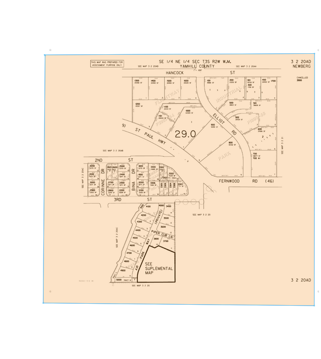
2500 E Hancock St
Portland-Vancouver-Hillsboro, OR-WA
Flightway Industrial Park
396351
LOT 3 - BLOCK 1 IN FLIGHTWAY INDUSTRIAL PARK
Industrialacreage
Yamhill
X
Oregon
41067C0600E
3
2025
0.94 AC
2025
Yamhill County
030202
Portland
DEMOGRAPHICS near 2500 E Hancock St
1 Mile
3 Mile
5 Mile
2024 Total Population
17,527
36,247
42,551
2029 Population
18,667
38,389
44,587
Pop Growth 2024-2029
+ 6.50%
+ 5.91%
+ 4.78%
Average Age
38
39
40
2024 Total Households
6,439
13,105
15,360
HH Growth 2024-2029
+ 6.99%
+ 6.21%
+ 5.06%
Median Household Inc
$77,027
$87,867
$90,127
Avg Household Size
2.50
2.60
2.60
2024 Avg HH Vehicles
2.00
2.00
2.00
Median Home Value
$395,524
$442,837
$462,537
Median Year Built
1997
1995
1993
Nearby Places
Map Layers
Map Styles
 Street
 Aerial
- Restaurants
- Banks
- Shops
- Fitness
- Groceries
PUBLIC TRANSPORTATION
AIRPORT
Portland International
DRIVE
WALK
Distance
Portland International
56 min
34.3 mi
Freight Ports
Port of Portland
DRIVE
WALK
Distance
Port of Portland
43 min
25.5 mi
SALE & LEASE HISTORY
LISTING DATE
SALE/LEASE

Mar 31, 2025
For Lease
Nearby Properties
Address
Land Use
TOTAL SIZE
Lot Size
Zoning
Address
Land Use
TOTAL SIZE
Lot Size
Zoning
Address
Land Use
TOTAL SIZE
Lot Size
Zoning
30.70 AC
SD/H
Address
Land Use
TOTAL SIZE
Lot Size
Zoning
4,630 SF
4.72 AC
R-2
Address
Land Use
TOTAL SIZE
Lot Size
Zoning
72 AC
R-1
Address
Land Use
TOTAL SIZE
Lot Size
Zoning
16.49 AC
I
Address
Land Use
TOTAL SIZE
Lot Size
Zoning
17.18 AC
C-2
Address
Land Use
TOTAL SIZE
Lot Size
Zoning
Address
Land Use
TOTAL SIZE
Lot Size
Zoning
3,020 SF
6.66 AC
I
Address
Land Use
TOTAL SIZE
Lot Size
Zoning
936 SF
7.67 AC
VLDR-1
Address
Land Use
TOTAL SIZE
Lot Size
Zoning
1,728 SF
6.39 AC
R-1
Address
Land Use
TOTAL SIZE
Lot Size
Zoning
16.84 AC
R-1
Address
Land Use
TOTAL SIZE
Lot Size
Zoning
4.96 AC
R-P/SP
Address
Land Use
TOTAL SIZE
Lot Size
Zoning
17.90 AC
M-1
Address
Land Use
TOTAL SIZE
Lot Size
Zoning
4.97 AC
R-P/SP
Address
Land Use
TOTAL SIZE
Lot Size
Zoning
3.65 AC
R-P/SP
Address
Land Use
TOTAL SIZE
Lot Size
Zoning
18.91 AC
M-1
Address
Land Use
TOTAL SIZE
Lot Size
Zoning
2,049 SF
3.21 AC
R-1
Address
Land Use
TOTAL SIZE
Lot Size
Zoning
9.96 AC
C-2
Address
Land Use
TOTAL SIZE
Lot Size
Zoning
14.21 AC
R-P/SP
Address
Land Use
TOTAL SIZE
Lot Size
Zoning
1.53 AC
R-P/SP
Address
Land Use
TOTAL SIZE
Lot Size
Zoning
2.99 AC
R-P/SP
Address
Land Use
TOTAL SIZE
Lot Size
Zoning
6.50 AC
M-1
Address
Land Use
TOTAL SIZE
Lot Size
Zoning
4.19 AC
C2
Address
Land Use
TOTAL SIZE
Lot Size
Zoning
Address
Land Use
TOTAL SIZE
Lot Size
Zoning
6.70 AC
I
Address
Land Use
TOTAL SIZE
Lot Size
Zoning
14.28 AC
R-2
Address
Land Use
TOTAL SIZE
Lot Size
Zoning
5.67 AC
M-2
Address
Land Use
TOTAL SIZE
Lot Size
Zoning
0.47 AC
I
Address
Land Use
TOTAL SIZE
Lot Size
Zoning
4,578 SF
38.05 AC
I
Address
Land Use
TOTAL SIZE
Lot Size
Zoning
12 AC
M-1
The World's #1 Commercial Real Estate Marketplace
Connect with us
© 2025 CoStar Group
The information above has been obtained from sources believed reliable. While we do not doubt its accuracy we have not verified it and make no guarantee, warranty or representation about it. It is your responsibility to independently confirm its accuracy and completeness. Any projections, opinions, assumptions, or estimates used are for example only and do not represent the current or future performance of the property. The value of this transaction to you depends on tax and other factors which should be evaluated by your tax, financial, and legal advisors. You and your advisors should conduct a careful, independent investigation of the property to determine to your satisfaction the suitability of the property for your needs.