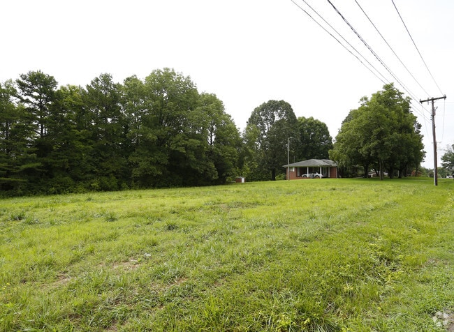
Property Record
2500 Lane St, Kannapolis, NC 28083


NEARBY LISTINGS FOR SALE OR LEASE
-
-
-
-
Coldwater Ridge Dr @ Old Earnhardt Rd
Kannapolis, NC 28083
$320,600 - $3,706,148
0.64 - 1.88 AC Lot
Land
-
-
-
-
View all Kannapolis listings for sale on LoopNet.com
Property Detail
2500 Lane St
5634-01-1144-0000
Lane Street
Storebuilding
SOUTH SIDE LANE ST
X
Cabarrus
3710563400L
North Carolina
2025
1.50 AC
2025
Cabarrus County
040701
Charlotte
9,864 SF
Charlotte-Concord-Gastonia, NC-SC
DEMOGRAPHICS near 2500 Lane St
1 Mile
3 Mile
5 Mile
2024 Total Population
4,045
32,004
71,414
2029 Population
4,435
35,406
79,046
Pop Growth 2024-2029
+ 9.64%
+ 10.63%
+ 10.69%
Average Age
40
39
39
2024 Total Households
1,557
12,411
27,903
HH Growth 2024-2029
+ 8.86%
+ 9.74%
+ 9.77%
Median Household Inc
$66,383
$54,105
$56,765
Avg Household Size
2.50
2.50
2.50
2024 Avg HH Vehicles
2.00
2.00
2.00
Median Home Value
$168,821
$162,380
$182,620
Median Year Built
1985
1976
1977
Nearby Places
Map Layers
Map Styles
 Street
 Aerial
- Restaurants
- Banks
- Shops
- Fitness
- Groceries
PUBLIC TRANSPORTATION
COMMUTER RAIL
Kannapolis Station (Piedmont - North Carolina by Train (NC Train))
DRIVE
WALK
Distance
Kannapolis Station (Piedmont - North Carolina by Train (NC Train))
8 min
3.4 mi
AIRPORT
Concord-Padgett Regional
DRIVE
WALK
Distance
Concord-Padgett Regional
23 min
15.0 mi
Charlotte/Douglas International
DRIVE
WALK
Distance
Charlotte/Douglas International
48 min
35.2 mi
Freight Ports
Port of Wilmington
DRIVE
WALK
Distance
Port of Wilmington
264 min
203.5 mi
SALE & LEASE HISTORY
LISTING DATE
SALE/LEASE

Mar 15, 2017
For Sale
Nearby Properties
Address
Land Use
TOTAL SIZE
Lot Size
Zoning
Address
Land Use
TOTAL SIZE
Lot Size
Zoning
276,070 SF
CC
Address
Land Use
TOTAL SIZE
Lot Size
Zoning
728,000 SF
51.80 AC
Address
Land Use
TOTAL SIZE
Lot Size
Zoning
42,409 SF
16 AC
GC
Address
Land Use
TOTAL SIZE
Lot Size
Zoning
754,000 SF
56.52 AC
I1-CZ
Address
Land Use
TOTAL SIZE
Lot Size
Zoning
128,064 SF
2.68 AC
CC
Address
Land Use
TOTAL SIZE
Lot Size
Zoning
121,156 SF
3.57 AC
CC
Address
Land Use
TOTAL SIZE
Lot Size
Zoning
106,804 SF
1.81 AC
CC
Address
Land Use
TOTAL SIZE
Lot Size
Zoning
83,152 SF
7.11 AC
CC
Address
Land Use
TOTAL SIZE
Lot Size
Zoning
176,075 SF
2.35 AC
CC
Address
Land Use
TOTAL SIZE
Lot Size
Zoning
297,600 SF
16.28 AC
Address
Land Use
TOTAL SIZE
Lot Size
Zoning
279,000 SF
23.48 AC
Address
Land Use
TOTAL SIZE
Lot Size
Zoning
207,899 SF
21.62 AC
C-2
Address
Land Use
TOTAL SIZE
Lot Size
Zoning
85,422 SF
6.30 AC
R8
Address
Land Use
TOTAL SIZE
Lot Size
Zoning
67,862 SF
1.77 AC
CC
Address
Land Use
TOTAL SIZE
Lot Size
Zoning
12,010 SF
0.40 AC
CC
Address
Land Use
TOTAL SIZE
Lot Size
Zoning
66,194 SF
2.94 AC
CC
Address
Land Use
TOTAL SIZE
Lot Size
Zoning
101,014 SF
1.84 AC
CC
Address
Land Use
TOTAL SIZE
Lot Size
Zoning
56,923 SF
2 AC
CC
Address
Land Use
TOTAL SIZE
Lot Size
Zoning
43,682 SF
11.02 AC
O-I
Address
Land Use
TOTAL SIZE
Lot Size
Zoning
33,728 SF
14.29 AC
GC
Address
Land Use
TOTAL SIZE
Lot Size
Zoning
128,280 SF
10.82 AC
Address
Land Use
TOTAL SIZE
Lot Size
Zoning
68,257 SF
8.26 AC
R8
Address
Land Use
TOTAL SIZE
Lot Size
Zoning
64,554 SF
2.67 AC
CC
Address
Land Use
TOTAL SIZE
Lot Size
Zoning
134,363 SF
14.54 AC
C-2
Address
Land Use
TOTAL SIZE
Lot Size
Zoning
50,591 SF
2.41 AC
C-2
Address
Land Use
TOTAL SIZE
Lot Size
Zoning
22,898 SF
10 AC
R18
Address
Land Use
TOTAL SIZE
Lot Size
Zoning
115,509 SF
4.90 AC
R8
Address
Land Use
TOTAL SIZE
Lot Size
Zoning
193,301 SF
22.50 AC
C-2
Address
Land Use
TOTAL SIZE
Lot Size
Zoning
50,749 SF
1.85 AC
C-2
Address
Land Use
TOTAL SIZE
Lot Size
Zoning
84,608 SF
23.75 AC
R8
The World's #1 Commercial Real Estate Marketplace
Connect with us
© 2025 CoStar Group
The information above has been obtained from sources believed reliable. While we do not doubt its accuracy we have not verified it and make no guarantee, warranty or representation about it. It is your responsibility to independently confirm its accuracy and completeness. Any projections, opinions, assumptions, or estimates used are for example only and do not represent the current or future performance of the property. The value of this transaction to you depends on tax and other factors which should be evaluated by your tax, financial, and legal advisors. You and your advisors should conduct a careful, independent investigation of the property to determine to your satisfaction the suitability of the property for your needs.