Property Record
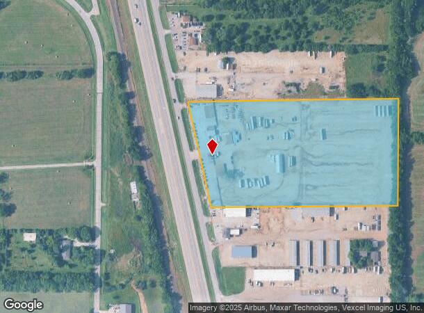
2500 N Nelson Dr, Derby, KS 67037


NEARBY LISTINGS FOR SALE OR LEASE
Property Detail
2500 N Nelson Dr
217-36-0-22-01-014.00
BEG 1197 FT N SE COR W 1/2 NW 1/4 W 869.09 FT TO E LI HY K-15 NW 486.44 FT E 977.64 FT S 476 FT TO BEG EXC CC A-78971 & EXC .10A TO STATE SEC 36-28-1E
Vehiclerentalsvehiclesales
Sedgwick
X
Kansas
20173C0509G
9.62 AC
2024
Derby/Haysville/Mulvane
2025
Wichita
010005
Wichita, KS
600 SF
DEMOGRAPHICS near 2500 N Nelson Dr
1 mile
3 mile
5 mile
2024 Total Population
3,954
31,116
69,935
2029 Population
3,973
31,333
70,991
Pop Growth 2024-2029
+ 0.48%
+ 0.70%
+ 1.51%
Average Age
37
39
38
2024 Total Households
1,417
11,970
26,268
HH Growth 2024-2029
+ 0.42%
+ 0.42%
+ 1.34%
Median Household Inc
$77,268
$64,634
$60,160
Avg Household Size
2.80
2.50
2.60
2024 Avg HH Vehicles
2.00
2.00
2.00
Median Home Value
$174,506
$175,489
$157,048
Median Year Built
1988
1987
1984
Nearby Places
Map Layers
Map Styles
 Street
 Aerial
Transit
 Traffic
 Biking
Places
Listings with unknown addresses are not visible on the map
- Restaurants
- Banks
- Shops
- Fitness
- Groceries
PUBLIC TRANSPORTATION
AIRPORT
Wichita Dwight D Eisenhower Ntl
Drive
Walk
Distance
Wichita Dwight D Eisenhower Ntl
25 min
15.3 mi
Freight Ports
Tulsa Port Of Catoosa
Drive
Walk
Distance
Tulsa Port Of Catoosa
202 min
187.9 mi
Nearby Properties
Address
Land Use
TOTAL SIZE
Lot Size
Zoning
Address
Land Use
TOTAL SIZE
Lot Size
Zoning
308,541 SF
66.86 AC
R1
Address
Land Use
TOTAL SIZE
Lot Size
Zoning
172,691 SF
17.25 AC
RR
Address
Land Use
TOTAL SIZE
Lot Size
Zoning
202,301 SF
34.22 AC
R1
Address
Land Use
TOTAL SIZE
Lot Size
Zoning
81,569 SF
12.09 AC
Address
Land Use
TOTAL SIZE
Lot Size
Zoning
102,574 SF
19.96 AC
R1
Address
Land Use
TOTAL SIZE
Lot Size
Zoning
82,912 SF
23.59 AC
I1
Address
Land Use
TOTAL SIZE
Lot Size
Zoning
233,436 SF
20.38 AC
LI
Address
Land Use
TOTAL SIZE
Lot Size
Zoning
62,580 SF
7.83 AC
SF20
Address
Land Use
TOTAL SIZE
Lot Size
Zoning
67,145 SF
11.49 AC
LI
Address
Land Use
TOTAL SIZE
Lot Size
Zoning
42,611 SF
7.01 AC
B3
Address
Land Use
TOTAL SIZE
Lot Size
Zoning
49,336 SF
19.20 AC
I1
Address
Land Use
TOTAL SIZE
Lot Size
Zoning
71,651 SF
5.82 AC
SF-5
Address
Land Use
TOTAL SIZE
Lot Size
Zoning
67,322 SF
9.05 AC
R1
Address
Land Use
TOTAL SIZE
Lot Size
Zoning
72,472 SF
2.73 AC
R3
Address
Land Use
TOTAL SIZE
Lot Size
Zoning
37,640 SF
9.36 AC
Address
Land Use
TOTAL SIZE
Lot Size
Zoning
59,964 SF
16.85 AC
LI,LC
Address
Land Use
TOTAL SIZE
Lot Size
Zoning
62,829 SF
7.15 AC
R1
Address
Land Use
TOTAL SIZE
Lot Size
Zoning
15,596 SF
11.59 AC
Address
Land Use
TOTAL SIZE
Lot Size
Zoning
37,860 SF
4.77 AC
R1
Address
Land Use
TOTAL SIZE
Lot Size
Zoning
49,454 SF
23 AC
Address
Land Use
TOTAL SIZE
Lot Size
Zoning
40,926 SF
5.21 AC
LI
Address
Land Use
TOTAL SIZE
Lot Size
Zoning
53,691 SF
8.23 AC
R1
Address
Land Use
TOTAL SIZE
Lot Size
Zoning
15,852 SF
73.15 AC
SF-5
Address
Land Use
TOTAL SIZE
Lot Size
Zoning
21,420 SF
2.39 AC
R1
Address
Land Use
TOTAL SIZE
Lot Size
Zoning
41,961 SF
3.60 AC
B3
Address
Land Use
TOTAL SIZE
Lot Size
Zoning
88,453 SF
10.91 AC
Address
Land Use
TOTAL SIZE
Lot Size
Zoning
16,392 SF
10.14 AC
R1
Address
Land Use
TOTAL SIZE
Lot Size
Zoning
52,285 SF
21.20 AC
R3
Address
Land Use
TOTAL SIZE
Lot Size
Zoning
43,300 SF
6.10 AC
I1
Address
Land Use
TOTAL SIZE
Lot Size
Zoning
33,846 SF
3.25 AC
R3
The World's #1 Commercial Real Estate Marketplace
Connect with us
© 2026 CoStar Group
The information above has been obtained from sources believed reliable. While we do not doubt its accuracy we have not verified it and make no guarantee, warranty or representation about it. It is your responsibility to independently confirm its accuracy and completeness. Any projections, opinions, assumptions, or estimates used are for example only and do not represent the current or future performance of the property. The value of this transaction to you depends on tax and other factors which should be evaluated by your tax, financial, and legal advisors. You and your advisors should conduct a careful, independent investigation of the property to determine to your satisfaction the suitability of the property for your needs.