Property Record
25013 Alamanda Dr, Astatula, FL 34705
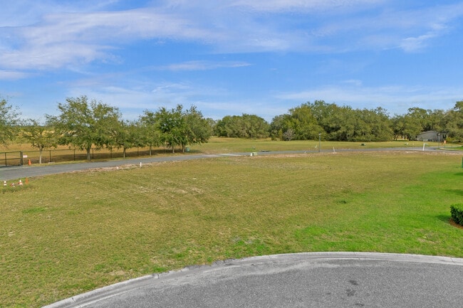
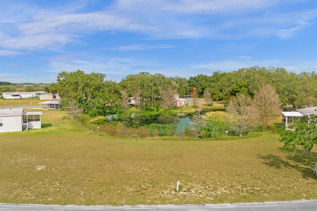

Property Detail
25013 Alamanda Dr
Orlando-Kissimmee-Sanford, FL
ASTATULA MEADOWS SUB LOT 111 PB 49 PG 27-31 ORB 6311 PG 1705
28-20-26-1300-000-00300
LAKE
Residentialacreage
Florida
R3
111
B and X Area of moderate flood hazard, usually the area between the limits of the 100-year and 500-year floods.
0.22 AC
2024
Lake County
2026
Orlando
031002
NEARBY LISTINGS FOR SALE OR LEASE
-
-
View all Astatula listings for sale on LoopNet.com
DEMOGRAPHICS near 25013 Alamanda Dr
1 mile
3 mile
5 mile
2025 Total Population
1,901
4,602
15,682
2030 Population
2,199
5,314
18,210
Pop Growth 2025-2030
+ 15.68%
+ 15.47%
+ 16.12%
Average Age
42
44
47
2025 Total Households
687
1,728
6,321
HH Growth 2025-2030
+ 15.87%
+ 15.51%
+ 16.14%
Median Household Inc
$66,604
$72,531
$80,426
Avg Household Size
2.80
2.70
2.50
2025 Avg HH Vehicles
2.00
2.00
2.00
Median Home Value
$286,486
$315,798
$351,795
Median Year Built
1995
1996
2001
Nearby Places
Map Layers
Map Styles
 Street
 Aerial
Layers
 Traffic
 Biking
Places
Listings with unknown addresses are not visible on the map
- Restaurants
- Banks
- Shops
- Fitness
- Groceries
PUBLIC TRANSPORTATION
AIRPORT
Orlando Sanford International
Drive
Walk
Distance
Orlando Sanford International
63 min
39.2 mi
Freight Ports
Port of Tampa Bay
Drive
Walk
Distance
Port of Tampa Bay
117 min
88.5 mi
SALE & LEASE HISTORY
LISTING DATE
SALE/LEASE

Feb 02, 2024
For Sale
Nearby Properties
Address
Land Use
TOTAL SIZE
Lot Size
Zoning
Address
Land Use
TOTAL SIZE
Lot Size
Zoning
166,821 SF
4.75 AC
IND
Address
Land Use
TOTAL SIZE
Lot Size
Zoning
116,340 SF
34.02 AC
INS
Address
Land Use
TOTAL SIZE
Lot Size
Zoning
55,145 SF
8.41 AC
HM
Address
Land Use
TOTAL SIZE
Lot Size
Zoning
2,000 SF
18.47 AC
R1A
Address
Land Use
TOTAL SIZE
Lot Size
Zoning
47,460 SF
11.86 AC
HM
Address
Land Use
TOTAL SIZE
Lot Size
Zoning
111,206 SF
33.05 AC
MP
Address
Land Use
TOTAL SIZE
Lot Size
Zoning
46,046 SF
13.33 AC
AR
Address
Land Use
TOTAL SIZE
Lot Size
Zoning
23,881 SF
36.14 AC
Address
Land Use
TOTAL SIZE
Lot Size
Zoning
64,100 SF
22 AC
A
Address
Land Use
TOTAL SIZE
Lot Size
Zoning
21,280 SF
0.53 AC
R1B
Address
Land Use
TOTAL SIZE
Lot Size
Zoning
10,887 SF
2.86 AC
CG
Address
Land Use
TOTAL SIZE
Lot Size
Zoning
319.52 AC
A
Address
Land Use
TOTAL SIZE
Lot Size
Zoning
319.93 AC
A
Address
Land Use
TOTAL SIZE
Lot Size
Zoning
20,080 SF
7.09 AC
HM
Address
Land Use
TOTAL SIZE
Lot Size
Zoning
39.31 AC
A
Address
Land Use
TOTAL SIZE
Lot Size
Zoning
59.72 AC
A
Address
Land Use
TOTAL SIZE
Lot Size
Zoning
16,626 SF
0.70 AC
IND
Address
Land Use
TOTAL SIZE
Lot Size
Zoning
65.32 AC
A
Address
Land Use
TOTAL SIZE
Lot Size
Zoning
35,828 SF
4.36 AC
IND
Address
Land Use
TOTAL SIZE
Lot Size
Zoning
75.54 AC
A
Address
Land Use
TOTAL SIZE
Lot Size
Zoning
220.09 AC
A
Address
Land Use
TOTAL SIZE
Lot Size
Zoning
174.41 AC
A
Address
Land Use
TOTAL SIZE
Lot Size
Zoning
6,102 SF
9.72 AC
Address
Land Use
TOTAL SIZE
Lot Size
Zoning
9,432 SF
1.69 AC
C1
Address
Land Use
TOTAL SIZE
Lot Size
Zoning
27,696 SF
184.98 AC
A
Address
Land Use
TOTAL SIZE
Lot Size
Zoning
11,245 SF
163.70 AC
A
Address
Land Use
TOTAL SIZE
Lot Size
Zoning
5,202 SF
1.23 AC
R1A
Address
Land Use
TOTAL SIZE
Lot Size
Zoning
5,001 SF
79.76 AC
A
Address
Land Use
TOTAL SIZE
Lot Size
Zoning
163.08 AC
A
Address
Land Use
TOTAL SIZE
Lot Size
Zoning
4,160 SF
120.08 AC
A
The World's #1 Commercial Real Estate Marketplace
Connect with us
© 2026 CoStar Group
The information above has been obtained from sources believed reliable. While we do not doubt its accuracy we have not verified it and make no guarantee, warranty or representation about it. It is your responsibility to independently confirm its accuracy and completeness. Any projections, opinions, assumptions, or estimates used are for example only and do not represent the current or future performance of the property. The value of this transaction to you depends on tax and other factors which should be evaluated by your tax, financial, and legal advisors. You and your advisors should conduct a careful, independent investigation of the property to determine to your satisfaction the suitability of the property for your needs.