Property Record
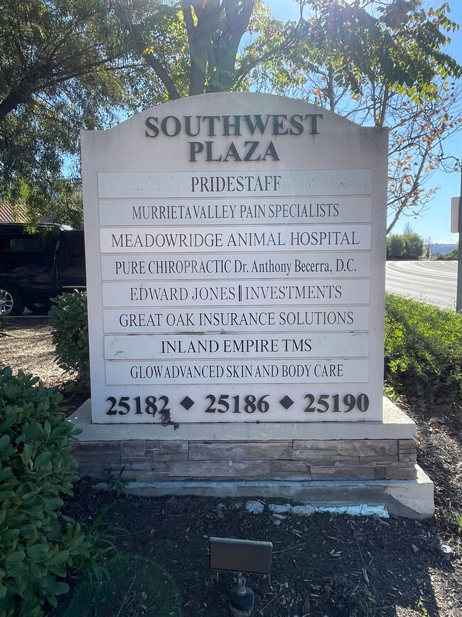
25190 Hancock Ave, Murrieta, CA 92562


Property Detail
25190 Hancock Ave
Riverside-San Bernardino-Ontario, CA
.78 ACRES M/L IN POR PAR 1 PM 162/069 PM 23580
948-510-021
Riverside
Officebuilding
California
B and X Area of moderate flood hazard, usually the area between the limits of the 100-year and 500-year floods.
1
2024
0.78 AC
2025
South Riverside
043206
Inland Empire (California)
10,000 SF
NEARBY LISTINGS FOR SALE OR LEASE
DEMOGRAPHICS near 25190 Hancock Ave
1 mile
3 mile
5 mile
2025 Total Population
14,050
100,468
190,822
2030 Population
14,343
102,647
195,292
Pop Growth 2025-2030
+ 2.09%
+ 2.17%
+ 2.34%
Average Age
36
38
37
2025 Total Households
4,454
32,196
59,322
HH Growth 2025-2030
+ 1.62%
+ 1.69%
+ 1.87%
Median Household Inc
$105,362
$106,913
$114,621
Avg Household Size
3.10
3.00
3.10
2025 Avg HH Vehicles
2.00
2.00
2.00
Median Home Value
$686,972
$701,684
$718,329
Median Year Built
1990
1999
2000
Nearby Places
Map Layers
Map Styles
 Street
 Aerial
Layers
 Traffic
 Biking
Places
Listings with unknown addresses are not visible on the map
- Restaurants
- Banks
- Shops
- Fitness
- Groceries
PUBLIC TRANSPORTATION
AIRPORT
Ontario International
Drive
Walk
Distance
Ontario International
58 min
47.5 mi
SALE & LEASE HISTORY
LISTING DATE
SALE/LEASE

Sep 27, 2017
For Lease
Oct 14, 2020
For Sale
Nov 09, 2016
For Lease
May 28, 2019
For Lease
May 15, 2018
For Lease
Jan 13, 2026
For Lease
Feb 03, 2022
For Lease
Nearby Properties
Address
Land Use
TOTAL SIZE
Lot Size
Zoning
Address
Land Use
TOTAL SIZE
Lot Size
Zoning
86,149 SF
20.51 AC
MF2
Address
Land Use
TOTAL SIZE
Lot Size
Zoning
390,411 SF
14.69 AC
Address
Land Use
TOTAL SIZE
Lot Size
Zoning
103,511 SF
12.03 AC
Address
Land Use
TOTAL SIZE
Lot Size
Zoning
42,104 SF
11.76 AC
RR
Address
Land Use
TOTAL SIZE
Lot Size
Zoning
15.26 AC
SP
Address
Land Use
TOTAL SIZE
Lot Size
Zoning
80,910 SF
12.77 AC
MDP
Address
Land Use
TOTAL SIZE
Lot Size
Zoning
119,885 SF
7.99 AC
Address
Land Use
TOTAL SIZE
Lot Size
Zoning
57,703 SF
36.14 AC
Address
Land Use
TOTAL SIZE
Lot Size
Zoning
240,791 SF
11.16 AC
Address
Land Use
TOTAL SIZE
Lot Size
Zoning
44,948 SF
9.71 AC
Address
Land Use
TOTAL SIZE
Lot Size
Zoning
32,812 SF
26.35 AC
RR
Address
Land Use
TOTAL SIZE
Lot Size
Zoning
81,888 SF
8.79 AC
Address
Land Use
TOTAL SIZE
Lot Size
Zoning
328,221 SF
14.25 AC
MU-3
Address
Land Use
TOTAL SIZE
Lot Size
Zoning
159,153 SF
13.24 AC
Address
Land Use
TOTAL SIZE
Lot Size
Zoning
38.61 AC
Address
Land Use
TOTAL SIZE
Lot Size
Zoning
152,379 SF
16.96 AC
Address
Land Use
TOTAL SIZE
Lot Size
Zoning
228,679 SF
41.30 AC
Address
Land Use
TOTAL SIZE
Lot Size
Zoning
185,561 SF
13.61 AC
Address
Land Use
TOTAL SIZE
Lot Size
Zoning
225,072 SF
8.29 AC
Address
Land Use
TOTAL SIZE
Lot Size
Zoning
95,896 SF
4.95 AC
Address
Land Use
TOTAL SIZE
Lot Size
Zoning
Address
Land Use
TOTAL SIZE
Lot Size
Zoning
27,193 SF
8.19 AC
Address
Land Use
TOTAL SIZE
Lot Size
Zoning
224,355 SF
20.18 AC
Address
Land Use
TOTAL SIZE
Lot Size
Zoning
107,166 SF
5.29 AC
Address
Land Use
TOTAL SIZE
Lot Size
Zoning
227,174 SF
7.17 AC
Address
Land Use
TOTAL SIZE
Lot Size
Zoning
118,498 SF
12.44 AC
CC
Address
Land Use
TOTAL SIZE
Lot Size
Zoning
137,810 SF
9.76 AC
Address
Land Use
TOTAL SIZE
Lot Size
Zoning
3,722 SF
13.48 AC
RR
The World's #1 Commercial Real Estate Marketplace
Connect with us
© 2026 CoStar Group
The information above has been obtained from sources believed reliable. While we do not doubt its accuracy we have not verified it and make no guarantee, warranty or representation about it. It is your responsibility to independently confirm its accuracy and completeness. Any projections, opinions, assumptions, or estimates used are for example only and do not represent the current or future performance of the property. The value of this transaction to you depends on tax and other factors which should be evaluated by your tax, financial, and legal advisors. You and your advisors should conduct a careful, independent investigation of the property to determine to your satisfaction the suitability of the property for your needs.