Property Record
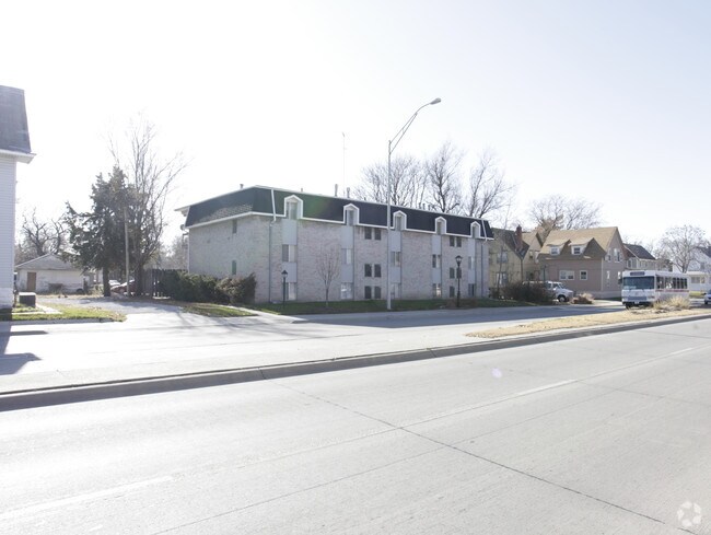
2520 U St, Lincoln, NE 68503


Property Detail
2520 U St
10-24-404-003-000
HAWLEYS ADDITION (BLOCKS), BLOCK 1, LOT 3 - 4, EX N PT FOR RD (#2004-20626)
Commercialnec
Lancaster
R6
Nebraska
B and X Area of moderate flood hazard, usually the area between the limits of the 100-year and 500-year floods.
3-4
2024
0.32 AC
2025
Hawley
000700
Lincoln
2,923 SF
Lincoln, NE
NEARBY LISTINGS FOR SALE OR LEASE
DEMOGRAPHICS near 2520 U St
1 mile
3 mile
5 mile
2025 Total Population
19,692
122,626
237,687
2030 Population
20,334
126,799
245,798
Pop Growth 2025-2030
+ 3.26%
+ 3.40%
+ 3.41%
Average Age
32
36
38
2025 Total Households
7,155
51,865
99,934
HH Growth 2025-2030
+ 4.15%
+ 3.87%
+ 3.79%
Median Household Inc
$44,999
$53,018
$62,834
Avg Household Size
2.30
2.20
2.30
2025 Avg HH Vehicles
2.00
2.00
2.00
Median Home Value
$156,120
$206,618
$246,635
Median Year Built
1962
1965
1975
Nearby Places
Map Layers
Map Styles
 Street
 Aerial
Layers
 Traffic
 Biking
Places
Listings with unknown addresses are not visible on the map
- Restaurants
- Banks
- Shops
- Fitness
- Groceries
PUBLIC TRANSPORTATION
COMMUTER RAIL
Drive
Walk
Distance
6 min
2.1 mi
AIRPORT
Lincoln
Drive
Walk
Distance
Lincoln
12 min
5.5 mi
Nearby Properties
Address
Land Use
TOTAL SIZE
Lot Size
Zoning
Address
Land Use
TOTAL SIZE
Lot Size
Zoning
604,749 SF
20.55 AC
R2
Address
Land Use
TOTAL SIZE
Lot Size
Zoning
684,598 SF
21.16 AC
B3
Address
Land Use
TOTAL SIZE
Lot Size
Zoning
382,244 SF
44.25 AC
R6
Address
Land Use
TOTAL SIZE
Lot Size
Zoning
134,835 SF
1.22 AC
B4
Address
Land Use
TOTAL SIZE
Lot Size
Zoning
131,328 SF
2.07 AC
P
Address
Land Use
TOTAL SIZE
Lot Size
Zoning
65,430 SF
1.12 AC
B4
Address
Land Use
TOTAL SIZE
Lot Size
Zoning
182,668 SF
2.07 AC
B4
Address
Land Use
TOTAL SIZE
Lot Size
Zoning
531,687 SF
32.18 AC
B5
Address
Land Use
TOTAL SIZE
Lot Size
Zoning
72,047 SF
1.03 AC
B4
Address
Land Use
TOTAL SIZE
Lot Size
Zoning
216,894 SF
1.47 AC
B4
Address
Land Use
TOTAL SIZE
Lot Size
Zoning
708,074 SF
66.04 AC
I1
Address
Land Use
TOTAL SIZE
Lot Size
Zoning
48,088 SF
28.06 AC
R5
Address
Land Use
TOTAL SIZE
Lot Size
Zoning
71,046 SF
23.72 AC
R5
Address
Land Use
TOTAL SIZE
Lot Size
Zoning
217,115 SF
2.03 AC
B4
Address
Land Use
TOTAL SIZE
Lot Size
Zoning
37,240 SF
17.06 AC
NULL
Address
Land Use
TOTAL SIZE
Lot Size
Zoning
189,854 SF
2.07 AC
P
Address
Land Use
TOTAL SIZE
Lot Size
Zoning
287,193 SF
6.62 AC
B4
Address
Land Use
TOTAL SIZE
Lot Size
Zoning
234,103 SF
13.56 AC
R2
Address
Land Use
TOTAL SIZE
Lot Size
Zoning
174,576 SF
2.07 AC
R6
Address
Land Use
TOTAL SIZE
Lot Size
Zoning
36,751 SF
1.80 AC
B5
Address
Land Use
TOTAL SIZE
Lot Size
Zoning
65,064 SF
1.39 AC
R6
Address
Land Use
TOTAL SIZE
Lot Size
Zoning
92,418 SF
0.79 AC
B4
Address
Land Use
TOTAL SIZE
Lot Size
Zoning
119,257 SF
1.68 AC
B4
Address
Land Use
TOTAL SIZE
Lot Size
Zoning
180,578 SF
1.32 AC
P
Address
Land Use
TOTAL SIZE
Lot Size
Zoning
179,447 SF
7.85 AC
R6
Address
Land Use
TOTAL SIZE
Lot Size
Zoning
56,867 SF
22.10 AC
NULL
Address
Land Use
TOTAL SIZE
Lot Size
Zoning
119,335 SF
26.11 AC
R1
Address
Land Use
TOTAL SIZE
Lot Size
Zoning
11.90 AC
P
Address
Land Use
TOTAL SIZE
Lot Size
Zoning
192,751 SF
18.49 AC
B5
Address
Land Use
TOTAL SIZE
Lot Size
Zoning
119,655 SF
2.28 AC
B4
The World's #1 Commercial Real Estate Marketplace
Connect with us
© 2026 CoStar Group
The information above has been obtained from sources believed reliable. While we do not doubt its accuracy we have not verified it and make no guarantee, warranty or representation about it. It is your responsibility to independently confirm its accuracy and completeness. Any projections, opinions, assumptions, or estimates used are for example only and do not represent the current or future performance of the property. The value of this transaction to you depends on tax and other factors which should be evaluated by your tax, financial, and legal advisors. You and your advisors should conduct a careful, independent investigation of the property to determine to your satisfaction the suitability of the property for your needs.