Property Record
2530 E Highland Rd, Highland, MI 48356


Property Detail
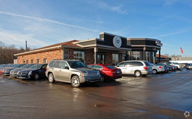
2530 E Highland Rd
11-24-102-007
T3N, R7E, SEC 24 E 132 FT OF W 937 FT OF S 280 FT OF N 330 FT OF NW 1/4, ALSO W 132 FT OF E 396 FT OF S 280 FT OF N 330 FT OF NW 1/4, ALSO PART OF NW 1/4 OF NW 1/4 BEG AT PT DIST S 330 FT & N 89-51-40 E 921 FT FROM NW SEC COR, TH N 89-51-40 E 414.58
Vehiclerentalsvehiclesales
Oakland
BI
Michigan
B and X Area of moderate flood hazard, usually the area between the limits of the 100-year and 500-year floods.
4.86 AC
2024
St Clair & Lapeer Counties
2025
Detroit
131300
Detroit-Warren-Dearborn, MI
24,370 SF
NEARBY LISTINGS FOR SALE OR LEASE
DEMOGRAPHICS near 2530 E Highland Rd
1 mile
3 mile
5 mile
2025 Total Population
1,815
20,549
50,505
2030 Population
1,854
21,148
51,863
Pop Growth 2025-2030
+ 2.15%
+ 2.91%
+ 2.69%
Average Age
43
42
43
2025 Total Households
730
8,049
19,375
HH Growth 2025-2030
+ 2.19%
+ 3.03%
+ 2.79%
Median Household Inc
$91,032
$91,886
$103,757
Avg Household Size
2.50
2.50
2.60
2025 Avg HH Vehicles
2.00
2.00
2.00
Median Home Value
$315,029
$304,327
$370,325
Median Year Built
1976
1980
1985
Nearby Places
Map Layers
Map Styles
 Street
 Aerial
Layers
 Traffic
 Biking
Places
Listings with unknown addresses are not visible on the map
- Restaurants
- Banks
- Shops
- Fitness
- Groceries
PUBLIC TRANSPORTATION
AIRPORT
Bishop International
Drive
Walk
Distance
Bishop International
50 min
34.7 mi
Detroit Metro Wayne County
Drive
Walk
Distance
Detroit Metro Wayne County
62 min
43.9 mi
Nearby Properties
Address
Land Use
TOTAL SIZE
Lot Size
Zoning
Address
Land Use
TOTAL SIZE
Lot Size
Zoning
6,498 SF
77.52 AC
MM
Address
Land Use
TOTAL SIZE
Lot Size
Zoning
4,260 SF
101.34 AC
MM
Address
Land Use
TOTAL SIZE
Lot Size
Zoning
207,282 SF
55.01 AC
BI
Address
Land Use
TOTAL SIZE
Lot Size
Zoning
42,467 SF
13.70 AC
Address
Land Use
TOTAL SIZE
Lot Size
Zoning
46,500 SF
5.86 AC
BI
Address
Land Use
TOTAL SIZE
Lot Size
Zoning
34,854 SF
5.28 AC
AI
Address
Land Use
TOTAL SIZE
Lot Size
Zoning
603.37 AC
FC
Address
Land Use
TOTAL SIZE
Lot Size
Zoning
45,644 SF
7.74 AC
BI
Address
Land Use
TOTAL SIZE
Lot Size
Zoning
26,054 SF
7.90 AC
AV
Address
Land Use
TOTAL SIZE
Lot Size
Zoning
38,846 SF
6.78 AC
BI
Address
Land Use
TOTAL SIZE
Lot Size
Zoning
51,167 SF
11.08 AC
BI
Address
Land Use
TOTAL SIZE
Lot Size
Zoning
55,183 SF
Address
Land Use
TOTAL SIZE
Lot Size
Zoning
47,204 SF
10.77 AC
II
Address
Land Use
TOTAL SIZE
Lot Size
Zoning
34,464 SF
7.45 AC
AI
Address
Land Use
TOTAL SIZE
Lot Size
Zoning
47,996 SF
8.99 AC
BI
Address
Land Use
TOTAL SIZE
Lot Size
Zoning
36,928 SF
5.16 AC
II
Address
Land Use
TOTAL SIZE
Lot Size
Zoning
58,721 SF
7.59 AC
BI
Address
Land Use
TOTAL SIZE
Lot Size
Zoning
68,340 SF
5.48 AC
II
Address
Land Use
TOTAL SIZE
Lot Size
Zoning
58,677 SF
16.70 AC
II
Address
Land Use
TOTAL SIZE
Lot Size
Zoning
25,432 SF
4.53 AC
AI
Address
Land Use
TOTAL SIZE
Lot Size
Zoning
59,200 SF
6 AC
II
Address
Land Use
TOTAL SIZE
Lot Size
Zoning
37,646 SF
7.53 AC
SI
Address
Land Use
TOTAL SIZE
Lot Size
Zoning
12,463 SF
4.73 AC
Address
Land Use
TOTAL SIZE
Lot Size
Zoning
15.74 AC
MM
Address
Land Use
TOTAL SIZE
Lot Size
Zoning
50.93 AC
MM
Address
Land Use
TOTAL SIZE
Lot Size
Zoning
32,400 SF
2.67 AC
II
Address
Land Use
TOTAL SIZE
Lot Size
Zoning
38,449 SF
2.60 AC
IV
Address
Land Use
TOTAL SIZE
Lot Size
Zoning
24,027 SF
2.10 AC
BV
Address
Land Use
TOTAL SIZE
Lot Size
Zoning
44,893 SF
22.58 AC
MM
The World's #1 Commercial Real Estate Marketplace
Connect with us
© 2026 CoStar Group
The information above has been obtained from sources believed reliable. While we do not doubt its accuracy we have not verified it and make no guarantee, warranty or representation about it. It is your responsibility to independently confirm its accuracy and completeness. Any projections, opinions, assumptions, or estimates used are for example only and do not represent the current or future performance of the property. The value of this transaction to you depends on tax and other factors which should be evaluated by your tax, financial, and legal advisors. You and your advisors should conduct a careful, independent investigation of the property to determine to your satisfaction the suitability of the property for your needs.