Property Record
2555 Stewart St, York, SC 29745


NEARBY LISTINGS FOR SALE OR LEASE
Property Detail
2555 Stewart St
4880000011
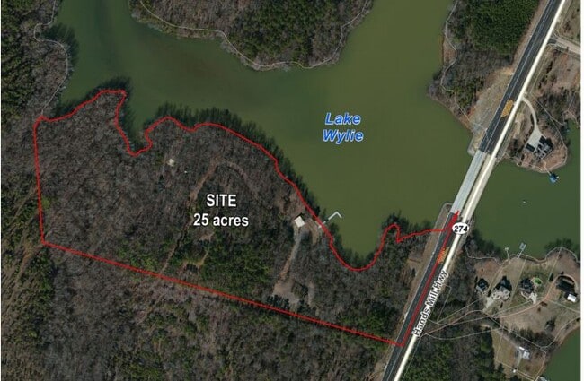
172.42 AC, LESS 1.33AC DAIMLER BLVD
Governmentvacantland
York
X
South Carolina
45091C0178E
170.90 AC
0
York County
2025
Charlotte
061706
Charlotte-Concord-Gastonia, NC-SC
DEMOGRAPHICS near 2555 Stewart St
1 Mile
3 Mile
5 Mile
2024 Total Population
964
14,531
49,802
2029 Population
1,092
16,499
56,179
Pop Growth 2024-2029
+ 13.28%
+ 13.54%
+ 12.80%
Average Age
43
41
41
2024 Total Households
350
5,271
18,909
HH Growth 2024-2029
+ 13.43%
+ 13.89%
+ 13.15%
Median Household Inc
$94,354
$102,717
$110,643
Avg Household Size
2.60
2.70
2.60
2024 Avg HH Vehicles
2.00
2.00
2.00
Median Home Value
$338,750
$365,057
$394,321
Median Year Built
1998
2005
2005
Nearby Places
Map Layers
Map Styles
 Street
 Aerial
- Restaurants
- Banks
- Shops
- Fitness
- Groceries
PUBLIC TRANSPORTATION
AIRPORT
Charlotte/Douglas International
DRIVE
WALK
Distance
Charlotte/Douglas International
37 min
21.6 mi
Freight Ports
North Charleston Terminal
DRIVE
WALK
Distance
North Charleston Terminal
217 min
187.3 mi
SALE & LEASE HISTORY
LISTING DATE
SALE/LEASE

May 25, 2022
For Sale
Apr 17, 2020
For Sale
Nearby Properties
Address
Land Use
TOTAL SIZE
Lot Size
Zoning
Address
Land Use
TOTAL SIZE
Lot Size
Zoning
551.16 AC
ID
Address
Land Use
TOTAL SIZE
Lot Size
Zoning
381 AC
ID
Address
Land Use
TOTAL SIZE
Lot Size
Zoning
27,372 SF
14.37 AC
RDII
Address
Land Use
TOTAL SIZE
Lot Size
Zoning
8,876 SF
1 AC
RDII
Address
Land Use
TOTAL SIZE
Lot Size
Zoning
3,438 SF
46.81 AC
RCI
Address
Land Use
TOTAL SIZE
Lot Size
Zoning
1,730 SF
6.88 AC
RCI
Address
Land Use
TOTAL SIZE
Lot Size
Zoning
4,865 SF
1.03 AC
RDII
Address
Land Use
TOTAL SIZE
Lot Size
Zoning
4,172 SF
1.03 AC
RDII
Address
Land Use
TOTAL SIZE
Lot Size
Zoning
4,486 SF
1 AC
RDII
Address
Land Use
TOTAL SIZE
Lot Size
Zoning
3,285 SF
2.72 AC
RDII
Address
Land Use
TOTAL SIZE
Lot Size
Zoning
5,176 SF
2.27 AC
RDII
Address
Land Use
TOTAL SIZE
Lot Size
Zoning
2,792 SF
1 AC
RDII
Address
Land Use
TOTAL SIZE
Lot Size
Zoning
2,917 SF
1 AC
RDII
Address
Land Use
TOTAL SIZE
Lot Size
Zoning
5,572 SF
1 AC
RDI
Address
Land Use
TOTAL SIZE
Lot Size
Zoning
3,502 SF
2.35 AC
Address
Land Use
TOTAL SIZE
Lot Size
Zoning
4,416 SF
1 AC
RDII
Address
Land Use
TOTAL SIZE
Lot Size
Zoning
4,983 SF
1 AC
RDII
Address
Land Use
TOTAL SIZE
Lot Size
Zoning
2,707 SF
1.04 AC
Address
Land Use
TOTAL SIZE
Lot Size
Zoning
3,894 SF
1.74 AC
RDII
Address
Land Use
TOTAL SIZE
Lot Size
Zoning
2,273 SF
1 AC
RCII
Address
Land Use
TOTAL SIZE
Lot Size
Zoning
4,003 SF
1 AC
RUDI
Address
Land Use
TOTAL SIZE
Lot Size
Zoning
105 AC
RCII
Address
Land Use
TOTAL SIZE
Lot Size
Zoning
1,960 SF
1 AC
RCII
Address
Land Use
TOTAL SIZE
Lot Size
Zoning
5,362 SF
1 AC
RDII
Address
Land Use
TOTAL SIZE
Lot Size
Zoning
4,440 SF
1 AC
RDII
Address
Land Use
TOTAL SIZE
Lot Size
Zoning
2,853 SF
1 AC
RDI
Address
Land Use
TOTAL SIZE
Lot Size
Zoning
4,502 SF
1 AC
RUDI
Address
Land Use
TOTAL SIZE
Lot Size
Zoning
3,709 SF
1 AC
RDII
Address
Land Use
TOTAL SIZE
Lot Size
Zoning
4,542 SF
1.30 AC
RDII
The World's #1 Commercial Real Estate Marketplace
Connect with us
© 2025 CoStar Group
The information above has been obtained from sources believed reliable. While we do not doubt its accuracy we have not verified it and make no guarantee, warranty or representation about it. It is your responsibility to independently confirm its accuracy and completeness. Any projections, opinions, assumptions, or estimates used are for example only and do not represent the current or future performance of the property. The value of this transaction to you depends on tax and other factors which should be evaluated by your tax, financial, and legal advisors. You and your advisors should conduct a careful, independent investigation of the property to determine to your satisfaction the suitability of the property for your needs.