Property Record
2561 Moody Blvd, Flagler Beach, FL 32136


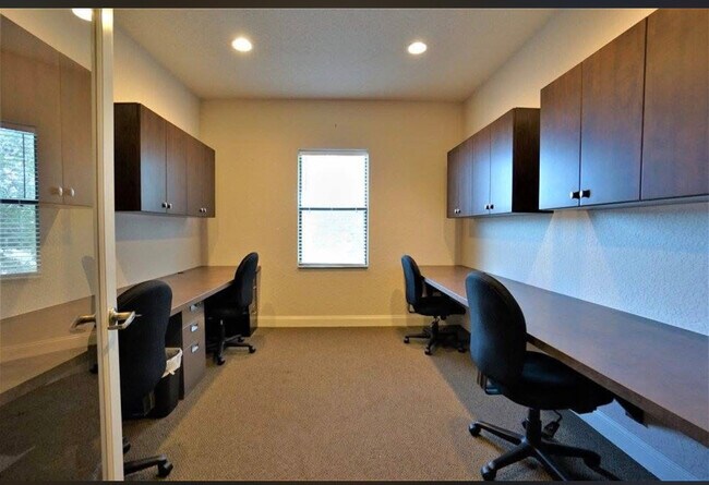
Current Lease Availabilities
NEARBY LISTINGS FOR SALE OR LEASE
Property Detail
2561 Moody Blvd
Deltona-Daytona Beach-Ormond Beach, FL
Coastal Park Of Bunnell
11-12-31-0650-000C0-0035
.57 ACRES OUTPARCEL #2, PARCEL LOCATED 1122.24 FT WEST OF INTERSECTION OF HWY 100 & JOHN ANDERSON HWY, CONTINUE 160 FT ALONG 100, S 156 FT, E 160 FT, N 156 FT OR 806 PG 895 OR 1498/1261 OR 2220/177- ERR IN LEG OR 2221/1833-CD OR 2224/816-CD OR 2224/8
Storemultistory
Flagler
X
Florida
12035C0232E
35
2024
0.57 AC
2025
Daytona Area
060304
Other Market Areas
7,896 SF
DEMOGRAPHICS near 2561 Moody Blvd
1 Mile
3 Mile
5 Mile
2024 Total Population
932
10,572
37,755
2029 Population
1,144
12,984
46,278
Pop Growth 2024-2029
+ 22.75%
+ 22.81%
+ 22.57%
Average Age
51
51
49
2024 Total Households
442
4,935
16,179
HH Growth 2024-2029
+ 21.95%
+ 22.07%
+ 21.86%
Median Household Inc
$83,333
$57,048
$65,475
Avg Household Size
2.10
2.10
2.30
2024 Avg HH Vehicles
2.00
2.00
2.00
Median Home Value
$464,406
$368,550
$300,476
Median Year Built
1986
1993
2002
Nearby Places
Map Layers
Map Styles
 Street
 Aerial
- Restaurants
- Banks
- Shops
- Fitness
- Groceries
PUBLIC TRANSPORTATION
AIRPORT
Daytona Beach International
DRIVE
WALK
Distance
Daytona Beach International
35 min
26.9 mi
Freight Ports
Jacksonville Port
DRIVE
WALK
Distance
Jacksonville Port
87 min
73.0 mi
Nearby Properties
Address
Land Use
TOTAL SIZE
Lot Size
Zoning
Address
Land Use
TOTAL SIZE
Lot Size
Zoning
345,915 SF
94.85 AC
COM-2
Address
Land Use
TOTAL SIZE
Lot Size
Zoning
142,653 SF
15.71 AC
PUD
Address
Land Use
TOTAL SIZE
Lot Size
Zoning
36,125 SF
11.26 AC
Address
Land Use
TOTAL SIZE
Lot Size
Zoning
904.63 AC
PUD
Address
Land Use
TOTAL SIZE
Lot Size
Zoning
459,150 SF
23.52 AC
COM-3
Address
Land Use
TOTAL SIZE
Lot Size
Zoning
124,911 SF
10.18 AC
PUD
Address
Land Use
TOTAL SIZE
Lot Size
Zoning
15.91 AC
PSP
Address
Land Use
TOTAL SIZE
Lot Size
Zoning
553.49 AC
PUD
Address
Land Use
TOTAL SIZE
Lot Size
Zoning
82,459 SF
4.09 AC
MPD
Address
Land Use
TOTAL SIZE
Lot Size
Zoning
122,353 SF
17.97 AC
MPD
Address
Land Use
TOTAL SIZE
Lot Size
Zoning
4,346 SF
177.15 AC
PUD
Address
Land Use
TOTAL SIZE
Lot Size
Zoning
45.82 AC
C-2
Address
Land Use
TOTAL SIZE
Lot Size
Zoning
220.05 AC
MPD
Address
Land Use
TOTAL SIZE
Lot Size
Zoning
112,500 SF
5 AC
HC
Address
Land Use
TOTAL SIZE
Lot Size
Zoning
231,560 SF
39.56 AC
I-C
Address
Land Use
TOTAL SIZE
Lot Size
Zoning
84,899 SF
10.35 AC
COM-2
Address
Land Use
TOTAL SIZE
Lot Size
Zoning
35,243 SF
8.45 AC
COM-3
Address
Land Use
TOTAL SIZE
Lot Size
Zoning
28,591 SF
3.84 AC
PUD
Address
Land Use
TOTAL SIZE
Lot Size
Zoning
47,264 SF
10.20 AC
MPD
Address
Land Use
TOTAL SIZE
Lot Size
Zoning
82,427 SF
8.98 AC
HC
Address
Land Use
TOTAL SIZE
Lot Size
Zoning
117.21 AC
AC
Address
Land Use
TOTAL SIZE
Lot Size
Zoning
50,497 SF
9.74 AC
MPD
Address
Land Use
TOTAL SIZE
Lot Size
Zoning
35,065 SF
19.37 AC
PSP
Address
Land Use
TOTAL SIZE
Lot Size
Zoning
126,340 SF
15.52 AC
MFR-2
Address
Land Use
TOTAL SIZE
Lot Size
Zoning
140,302 SF
13.08 AC
MPD
Address
Land Use
TOTAL SIZE
Lot Size
Zoning
67.81 AC
MPD
Address
Land Use
TOTAL SIZE
Lot Size
Zoning
66,670 SF
3.08 AC
MPD
Address
Land Use
TOTAL SIZE
Lot Size
Zoning
59,208 SF
3.52 AC
COM-2
Address
Land Use
TOTAL SIZE
Lot Size
Zoning
1.33 AC
GC
Address
Land Use
TOTAL SIZE
Lot Size
Zoning
31.02 AC
COM-3
The World's #1 Commercial Real Estate Marketplace
Connect with us
© 2026 CoStar Group
The information above has been obtained from sources believed reliable. While we do not doubt its accuracy we have not verified it and make no guarantee, warranty or representation about it. It is your responsibility to independently confirm its accuracy and completeness. Any projections, opinions, assumptions, or estimates used are for example only and do not represent the current or future performance of the property. The value of this transaction to you depends on tax and other factors which should be evaluated by your tax, financial, and legal advisors. You and your advisors should conduct a careful, independent investigation of the property to determine to your satisfaction the suitability of the property for your needs.