Property Record
257 E Broad St, Newnan, GA 30263
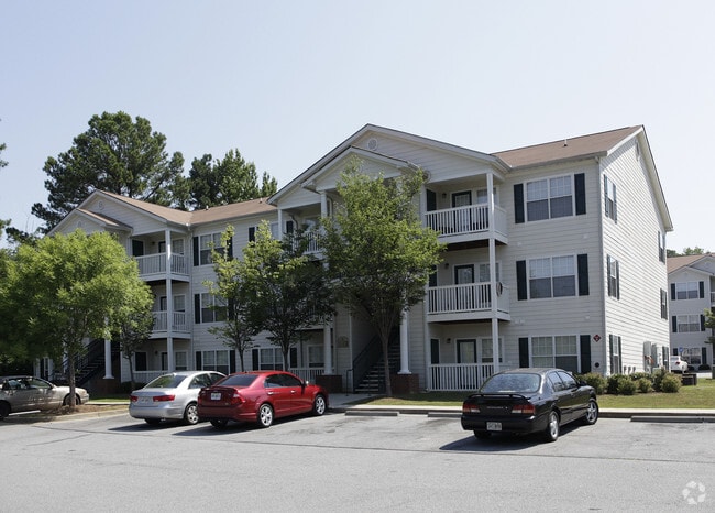

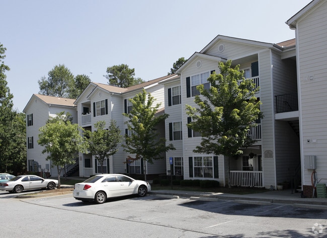
Property Detail
257 E Broad St
N52-002
V/L 16.0051 AC E BROAD ST
Apartment
Coweta
R2
Georgia
B and X Area of moderate flood hazard, usually the area between the limits of the 100-year and 500-year floods.
16
0
16.01 AC
2025
Downtown Newnan
170604
Atlanta
131,836 SF
Atlanta-Sandy Springs-Roswell, GA
NEARBY LISTINGS FOR SALE OR LEASE
-
-
View all Newnan listings for sale on LoopNet.com
DEMOGRAPHICS near 257 E Broad St
1 mile
3 mile
5 mile
2025 Total Population
9,530
43,696
71,288
2030 Population
10,221
46,553
75,814
Pop Growth 2025-2030
+ 7.25%
+ 6.54%
+ 6.35%
Average Age
36
38
39
2025 Total Households
3,693
17,129
27,450
HH Growth 2025-2030
+ 7.26%
+ 6.53%
+ 6.36%
Median Household Inc
$53,086
$73,564
$80,583
Avg Household Size
2.50
2.50
2.50
2025 Avg HH Vehicles
1.00
2.00
2.00
Median Home Value
$326,613
$348,514
$346,932
Median Year Built
1993
1999
1998
Nearby Places
Map Layers
Map Styles
 Street
 Aerial
Layers
 Traffic
 Biking
Places
Listings with unknown addresses are not visible on the map
- Restaurants
- Banks
- Shops
- Fitness
- Groceries
PUBLIC TRANSPORTATION
AIRPORT
Hartsfield - Jackson Atlanta International
Drive
Walk
Distance
Hartsfield - Jackson Atlanta International
44 min
33.3 mi
Freight Ports
Port of Panama City
Drive
Walk
Distance
Port of Panama City
312 min
255.3 mi
Nearby Properties
Address
Land Use
TOTAL SIZE
Lot Size
Zoning
Address
Land Use
TOTAL SIZE
Lot Size
Zoning
286,548 SF
26.47 AC
ND
Address
Land Use
TOTAL SIZE
Lot Size
Zoning
269,327 SF
6.57 AC
ND
Address
Land Use
TOTAL SIZE
Lot Size
Zoning
409,449 SF
93.83 AC
R1
Address
Land Use
TOTAL SIZE
Lot Size
Zoning
449,108 SF
53.36 AC
C2
Address
Land Use
TOTAL SIZE
Lot Size
Zoning
1,514,040 SF
147.92 AC
C1
Address
Land Use
TOTAL SIZE
Lot Size
Zoning
208,092 SF
9.85 AC
R2
Address
Land Use
TOTAL SIZE
Lot Size
Zoning
1,396,640 SF
78.52 AC
C1
Address
Land Use
TOTAL SIZE
Lot Size
Zoning
340,087 SF
24.91 AC
R1
Address
Land Use
TOTAL SIZE
Lot Size
Zoning
272,918 SF
24.21 AC
ND
Address
Land Use
TOTAL SIZE
Lot Size
Zoning
205,636 SF
32 AC
R1
Address
Land Use
TOTAL SIZE
Lot Size
Zoning
323,991 SF
22.48 AC
001
Address
Land Use
TOTAL SIZE
Lot Size
Zoning
395,621 SF
35.51 AC
001
Address
Land Use
TOTAL SIZE
Lot Size
Zoning
208,524 SF
19.59 AC
R2
Address
Land Use
TOTAL SIZE
Lot Size
Zoning
274,787 SF
31.66 AC
001
Address
Land Use
TOTAL SIZE
Lot Size
Zoning
237,164 SF
16.85 AC
R1
Address
Land Use
TOTAL SIZE
Lot Size
Zoning
188,907 SF
25.22 AC
001
Address
Land Use
TOTAL SIZE
Lot Size
Zoning
252,746 SF
20.93 AC
M
Address
Land Use
TOTAL SIZE
Lot Size
Zoning
113,618 SF
0.88 AC
R1
Address
Land Use
TOTAL SIZE
Lot Size
Zoning
349,504 SF
26.40 AC
C2
Address
Land Use
TOTAL SIZE
Lot Size
Zoning
196,093 SF
17.31 AC
002
Address
Land Use
TOTAL SIZE
Lot Size
Zoning
229,770 SF
30 AC
001
Address
Land Use
TOTAL SIZE
Lot Size
Zoning
367,120 SF
28.64 AC
M
Address
Land Use
TOTAL SIZE
Lot Size
Zoning
99,789 SF
0.88 AC
R1
Address
Land Use
TOTAL SIZE
Lot Size
Zoning
136,343 SF
19.77 AC
R2
Address
Land Use
TOTAL SIZE
Lot Size
Zoning
121,224 SF
15.94 AC
R2
Address
Land Use
TOTAL SIZE
Lot Size
Zoning
271,408 SF
30.33 AC
R1
Address
Land Use
TOTAL SIZE
Lot Size
Zoning
137,519 SF
30.65 AC
R2
Address
Land Use
TOTAL SIZE
Lot Size
Zoning
111,730 SF
23.33 AC
001
Address
Land Use
TOTAL SIZE
Lot Size
Zoning
175,159 SF
20.20 AC
002
Address
Land Use
TOTAL SIZE
Lot Size
Zoning
237,975 SF
20 AC
C1
The World's #1 Commercial Real Estate Marketplace
Connect with us
© 2026 CoStar Group
The information above has been obtained from sources believed reliable. While we do not doubt its accuracy we have not verified it and make no guarantee, warranty or representation about it. It is your responsibility to independently confirm its accuracy and completeness. Any projections, opinions, assumptions, or estimates used are for example only and do not represent the current or future performance of the property. The value of this transaction to you depends on tax and other factors which should be evaluated by your tax, financial, and legal advisors. You and your advisors should conduct a careful, independent investigation of the property to determine to your satisfaction the suitability of the property for your needs.