Property Record
2575 Highway 105, Boone, NC 28607
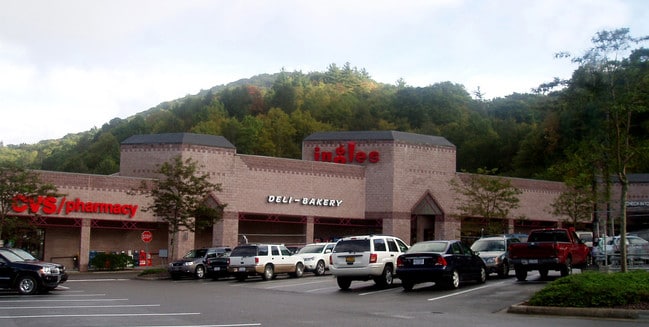


Property Detail
2575 Highway 105
2900-44-3319-000
LOT 1 HIGHLAND COMMONS
Shoppingcentercommonareaparkingparketc
Watauga
BOB3
North Carolina
AE The base floodplain where base flood elevations are provided. AE Zones are now used on new format FIRMs instead of A1-A30 Zones.
1
2024
5.21 AC
2025
Hickory/Morganton
920602
Other Market Areas
58,983 SF
Boone, NC
NEARBY LISTINGS FOR SALE OR LEASE
-
-
View all Boone listings for lease on LoopNet.com
DEMOGRAPHICS near 2575 Highway 105
1 mile
3 mile
5 mile
2025 Total Population
3,698
22,404
32,578
2030 Population
3,644
21,839
31,779
Pop Growth 2025-2030
(1.46%)
(2.52%)
(2.45%)
Average Age
27
29
33
2025 Total Households
838
6,961
11,389
HH Growth 2025-2030
(5.13%)
(4.76%)
(3.66%)
Median Household Inc
$34,777
$30,365
$41,753
Avg Household Size
2.20
2.10
2.10
2025 Avg HH Vehicles
2.00
2.00
2.00
Median Home Value
$430,952
$365,565
$369,199
Median Year Built
1984
1986
1987
Nearby Places
Map Layers
Map Styles
 Street
 Aerial
Layers
 Traffic
 Biking
Places
Listings with unknown addresses are not visible on the map
- Restaurants
- Banks
- Shops
- Fitness
- Groceries
SALE & LEASE HISTORY
LISTING DATE
SALE/LEASE

Sep 25, 2016
For Lease
Nov 05, 2019
For Lease
Nearby Properties
Address
Land Use
TOTAL SIZE
Lot Size
Zoning
Address
Land Use
TOTAL SIZE
Lot Size
Zoning
79,170 SF
8.98 AC
BOOI
Address
Land Use
TOTAL SIZE
Lot Size
Zoning
78,360 SF
13.20 AC
BOOI
Address
Land Use
TOTAL SIZE
Lot Size
Zoning
96,030 SF
4.73 AC
BOB3
Address
Land Use
TOTAL SIZE
Lot Size
Zoning
2,960 SF
2.75 AC
BOB1
Address
Land Use
TOTAL SIZE
Lot Size
Zoning
88 AC
BOMZ
Address
Land Use
TOTAL SIZE
Lot Size
Zoning
35,080 SF
5.28 AC
BOU1
Address
Land Use
TOTAL SIZE
Lot Size
Zoning
3,024 SF
47.37 AC
BOMZ
Address
Land Use
TOTAL SIZE
Lot Size
Zoning
3,241 SF
9.60 AC
BOU1
Address
Land Use
TOTAL SIZE
Lot Size
Zoning
2,580 SF
30.87 AC
BOR3
Address
Land Use
TOTAL SIZE
Lot Size
Zoning
19,032 SF
18.78 AC
BOMZ
Address
Land Use
TOTAL SIZE
Lot Size
Zoning
3,414 SF
11.52 AC
BOB3
Address
Land Use
TOTAL SIZE
Lot Size
Zoning
96,732 SF
9.12 AC
BOOI
Address
Land Use
TOTAL SIZE
Lot Size
Zoning
19,348 SF
0.31 AC
BOB1
Address
Land Use
TOTAL SIZE
Lot Size
Zoning
40,744 SF
2.56 AC
BOMZ
Address
Land Use
TOTAL SIZE
Lot Size
Zoning
51,084 SF
8.65 AC
BOMZ
Address
Land Use
TOTAL SIZE
Lot Size
Zoning
16,320 SF
4.96 AC
BOU1
Address
Land Use
TOTAL SIZE
Lot Size
Zoning
47,872 SF
25.06 AC
BOU1
Address
Land Use
TOTAL SIZE
Lot Size
Zoning
79,392 SF
5.48 AC
BOB3
Address
Land Use
TOTAL SIZE
Lot Size
Zoning
31,856 SF
8.76 AC
BOU1
Address
Land Use
TOTAL SIZE
Lot Size
Zoning
2,870 SF
11.75 AC
BOMZ
Address
Land Use
TOTAL SIZE
Lot Size
Zoning
152,010 SF
5.72 AC
BOU1
Address
Land Use
TOTAL SIZE
Lot Size
Zoning
31,703 SF
2.85 AC
BOB3
Address
Land Use
TOTAL SIZE
Lot Size
Zoning
9,072 SF
4.83 AC
BOMZ
Address
Land Use
TOTAL SIZE
Lot Size
Zoning
1,200 SF
15.50 AC
BOMZ
Address
Land Use
TOTAL SIZE
Lot Size
Zoning
32,083 SF
5 AC
BOU1
Address
Land Use
TOTAL SIZE
Lot Size
Zoning
8,052 SF
44.52 AC
E2OI
Address
Land Use
TOTAL SIZE
Lot Size
Zoning
67,200 SF
4.10 AC
BOB3
The World's #1 Commercial Real Estate Marketplace
Connect with us
© 2026 CoStar Group
The information above has been obtained from sources believed reliable. While we do not doubt its accuracy we have not verified it and make no guarantee, warranty or representation about it. It is your responsibility to independently confirm its accuracy and completeness. Any projections, opinions, assumptions, or estimates used are for example only and do not represent the current or future performance of the property. The value of this transaction to you depends on tax and other factors which should be evaluated by your tax, financial, and legal advisors. You and your advisors should conduct a careful, independent investigation of the property to determine to your satisfaction the suitability of the property for your needs.