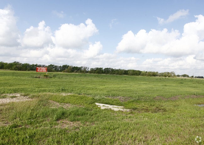
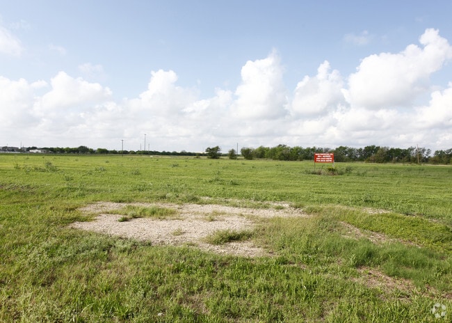
Property Record
509 Randon Dyer Rd, Rosenberg, TX 77471

Property Detail
509 Randon Dyer Rd
0146-00-000-0013-901
0146 BROOKS AND BURL, BLOCK 1, ACRES 19.5665, ROSENBERG WAREHOUSE COMPLEX, RESTRICTED RESERVE A (COMMERCIAL), PART IN COON CREEK DRAINAGE ESMT.
Commercialnec
FORT BEND
OY
Texas
B and X Area of moderate flood hazard, usually the area between the limits of the 100-year and 500-year floods.
19.57 AC
2024
Southwest Outlier
2025
Houston
675300
Houston-Pasadena-The Woodlands, TX
NEARBY LISTINGS FOR SALE OR LEASE
DEMOGRAPHICS near 509 Randon Dyer Rd
1 mile
3 mile
5 mile
2025 Total Population
39
1,239
14,580
2030 Population
45
1,430
16,677
Pop Growth 2025-2030
+ 15.38%
+ 15.42%
+ 14.38%
Average Age
41
37
37
2025 Total Households
14
391
4,698
HH Growth 2025-2030
+ 14.29%
+ 15.86%
+ 14.77%
Median Household Inc
$42,500
$72,777
$69,975
Avg Household Size
2.80
3.20
3.10
2025 Avg HH Vehicles
2.00
2.00
2.00
Median Home Value
$583,333
$299,019
$222,869
Median Year Built
1989
1989
1991
Nearby Places
Map Layers
Map Styles
 Street
 Aerial
Transit
 Traffic
 Biking
Places
Listings with unknown addresses are not visible on the map
- Restaurants
- Banks
- Shops
- Fitness
- Groceries
SALE & LEASE HISTORY
LISTING DATE
SALE/LEASE

Sep 24, 2016
For Sale
Jan 26, 2018
For Lease
Nearby Properties
Address
Land Use
TOTAL SIZE
Lot Size
Zoning
Address
Land Use
TOTAL SIZE
Lot Size
Zoning
37.08 AC
Address
Land Use
TOTAL SIZE
Lot Size
Zoning
9.51 AC
Address
Land Use
TOTAL SIZE
Lot Size
Zoning
11,800 SF
9.26 AC
S
Address
Land Use
TOTAL SIZE
Lot Size
Zoning
105,350 SF
11.50 AC
R
Address
Land Use
TOTAL SIZE
Lot Size
Zoning
220,453 SF
142.24 AC
SQ
Address
Land Use
TOTAL SIZE
Lot Size
Zoning
51,250 SF
10.01 AC
S
Address
Land Use
TOTAL SIZE
Lot Size
Zoning
2,064 SF
93.87 AC
QO
Address
Land Use
TOTAL SIZE
Lot Size
Zoning
10,737 SF
8.26 AC
Address
Land Use
TOTAL SIZE
Lot Size
Zoning
67.93 AC
Address
Land Use
TOTAL SIZE
Lot Size
Zoning
139,047 SF
49.85 AC
Address
Land Use
TOTAL SIZE
Lot Size
Zoning
40,876 SF
7.69 AC
S
Address
Land Use
TOTAL SIZE
Lot Size
Zoning
33,106 SF
6 AC
J
Address
Land Use
TOTAL SIZE
Lot Size
Zoning
28,690 SF
4.01 AC
J
Address
Land Use
TOTAL SIZE
Lot Size
Zoning
20,785 SF
10 AC
QS
Address
Land Use
TOTAL SIZE
Lot Size
Zoning
15,396 SF
3.27 AC
Address
Land Use
TOTAL SIZE
Lot Size
Zoning
68.41 AC
Y
Address
Land Use
TOTAL SIZE
Lot Size
Zoning
72.55 AC
Address
Land Use
TOTAL SIZE
Lot Size
Zoning
1,260 SF
36.99 AC
YOQT
Address
Land Use
TOTAL SIZE
Lot Size
Zoning
13,280 SF
17.10 AC
YZ
Address
Land Use
TOTAL SIZE
Lot Size
Zoning
177,887 SF
37 AC
YQM
Address
Land Use
TOTAL SIZE
Lot Size
Zoning
4,104 SF
3.77 AC
M
Address
Land Use
TOTAL SIZE
Lot Size
Zoning
9.95 AC
S
Address
Land Use
TOTAL SIZE
Lot Size
Zoning
78 AC
SO
Address
Land Use
TOTAL SIZE
Lot Size
Zoning
11.50 AC
Address
Land Use
TOTAL SIZE
Lot Size
Zoning
21,190 SF
10 AC
ST
Address
Land Use
TOTAL SIZE
Lot Size
Zoning
68.80 AC
Address
Land Use
TOTAL SIZE
Lot Size
Zoning
65.97 AC
QY
Address
Land Use
TOTAL SIZE
Lot Size
Zoning
17,532 SF
5.98 AC
SQ
Address
Land Use
TOTAL SIZE
Lot Size
Zoning
1,100 SF
6.21 AC
M
The World's #1 Commercial Real Estate Marketplace
Connect with us
© 2026 CoStar Group
The information above has been obtained from sources believed reliable. While we do not doubt its accuracy we have not verified it and make no guarantee, warranty or representation about it. It is your responsibility to independently confirm its accuracy and completeness. Any projections, opinions, assumptions, or estimates used are for example only and do not represent the current or future performance of the property. The value of this transaction to you depends on tax and other factors which should be evaluated by your tax, financial, and legal advisors. You and your advisors should conduct a careful, independent investigation of the property to determine to your satisfaction the suitability of the property for your needs.