Property Record
11230 Gurtler Rd, Jacksonville, FL 32220


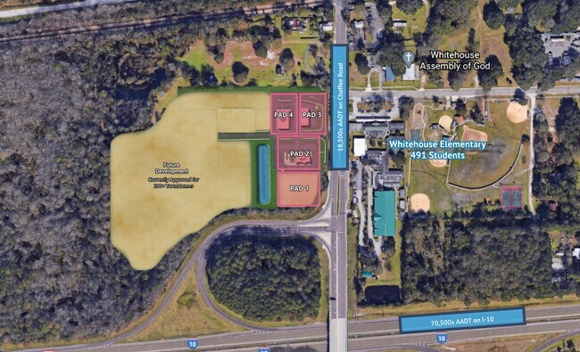
NEARBY LISTINGS FOR SALE OR LEASE
Property Detail
11230 Gurtler Rd
Jacksonville, FL
Section Land
001846-0020
24-2S-24E 46.21 PT SE1/4 OF NE1/4 RECD O/R 21113-2387
Industrialacreage
Duval
X
Florida
12031C0340H
46.21 AC
2023
Northwest Jacksonville
2025
Jacksonville (Florida)
011901
DEMOGRAPHICS near 11230 Gurtler Rd
1 Mile
3 Mile
5 Mile
2024 Total Population
2,600
24,329
54,644
2029 Population
2,723
25,746
57,419
Pop Growth 2024-2029
+ 4.73%
+ 5.82%
+ 5.08%
Average Age
40
38
38
2024 Total Households
939
8,464
19,630
HH Growth 2024-2029
+ 4.69%
+ 5.84%
+ 5.10%
Median Household Inc
$72,090
$78,024
$68,614
Avg Household Size
2.80
2.80
2.70
2024 Avg HH Vehicles
2.00
2.00
2.00
Median Home Value
$243,662
$245,641
$214,346
Median Year Built
1998
2002
1996
Nearby Places
Map Layers
Map Styles
 Street
 Aerial
- Restaurants
- Banks
- Shops
- Fitness
- Groceries
PUBLIC TRANSPORTATION
AIRPORT
Jacksonville International
DRIVE
WALK
Distance
Jacksonville International
32 min
22.2 mi
Freight Ports
Jacksonville Port
DRIVE
WALK
Distance
Jacksonville Port
24 min
16.1 mi
SALE & LEASE HISTORY
LISTING DATE
SALE/LEASE

Mar 12, 2018
For Sale
Dec 15, 2021
For Sale
Nearby Properties
Address
Land Use
TOTAL SIZE
Lot Size
Zoning
Address
Land Use
TOTAL SIZE
Lot Size
Zoning
421,500 SF
43.21 AC
PUD
Address
Land Use
TOTAL SIZE
Lot Size
Zoning
505,748 SF
94.71 AC
IL
Address
Land Use
TOTAL SIZE
Lot Size
Zoning
273,608 SF
23.15 AC
PUD
Address
Land Use
TOTAL SIZE
Lot Size
Zoning
509,686 SF
43.32 AC
IL
Address
Land Use
TOTAL SIZE
Lot Size
Zoning
480,461 SF
43.54 AC
IL
Address
Land Use
TOTAL SIZE
Lot Size
Zoning
570.50 AC
PUD
Address
Land Use
TOTAL SIZE
Lot Size
Zoning
2,288 SF
373.54 AC
PBF-1
Address
Land Use
TOTAL SIZE
Lot Size
Zoning
30,789 SF
2.10 AC
PUD
Address
Land Use
TOTAL SIZE
Lot Size
Zoning
6,792 SF
53.56 AC
PUD
Address
Land Use
TOTAL SIZE
Lot Size
Zoning
365.57 AC
PUD
Address
Land Use
TOTAL SIZE
Lot Size
Zoning
160,970 SF
25.46 AC
IL
Address
Land Use
TOTAL SIZE
Lot Size
Zoning
108,217 SF
178.52 AC
PBF-1
Address
Land Use
TOTAL SIZE
Lot Size
Zoning
171.06 AC
PUD
Address
Land Use
TOTAL SIZE
Lot Size
Zoning
29,022 SF
3.17 AC
PUD
Address
Land Use
TOTAL SIZE
Lot Size
Zoning
33,424 SF
2.97 AC
PUD
Address
Land Use
TOTAL SIZE
Lot Size
Zoning
53,405 SF
6.04 AC
PUD
Address
Land Use
TOTAL SIZE
Lot Size
Zoning
84.65 AC
PUD
Address
Land Use
TOTAL SIZE
Lot Size
Zoning
76,718 SF
8.89 AC
RR-ACRE
Address
Land Use
TOTAL SIZE
Lot Size
Zoning
307.14 AC
PUD
Address
Land Use
TOTAL SIZE
Lot Size
Zoning
53,527 SF
10.89 AC
CCG-1
Address
Land Use
TOTAL SIZE
Lot Size
Zoning
36,354 SF
3.72 AC
CCG-1
Address
Land Use
TOTAL SIZE
Lot Size
Zoning
153,671 SF
27.09 AC
IL
Address
Land Use
TOTAL SIZE
Lot Size
Zoning
26,961 SF
1.36 AC
PUD
Address
Land Use
TOTAL SIZE
Lot Size
Zoning
30,540 SF
25.01 AC
PUD
Address
Land Use
TOTAL SIZE
Lot Size
Zoning
394.19 AC
PUD
Address
Land Use
TOTAL SIZE
Lot Size
Zoning
806 SF
114.35 AC
PUD
Address
Land Use
TOTAL SIZE
Lot Size
Zoning
40,210 SF
6.61 AC
RLD-60
Address
Land Use
TOTAL SIZE
Lot Size
Zoning
12,384 SF
4.88 AC
RMD-MH
Address
Land Use
TOTAL SIZE
Lot Size
Zoning
35,821 SF
11.79 AC
IL
Address
Land Use
TOTAL SIZE
Lot Size
Zoning
14,722 SF
3.22 AC
CCG-2
The World's #1 Commercial Real Estate Marketplace
Connect with us
© 2025 CoStar Group
The information above has been obtained from sources believed reliable. While we do not doubt its accuracy we have not verified it and make no guarantee, warranty or representation about it. It is your responsibility to independently confirm its accuracy and completeness. Any projections, opinions, assumptions, or estimates used are for example only and do not represent the current or future performance of the property. The value of this transaction to you depends on tax and other factors which should be evaluated by your tax, financial, and legal advisors. You and your advisors should conduct a careful, independent investigation of the property to determine to your satisfaction the suitability of the property for your needs.