Property Record
2583 N Main St, Clearfield, UT 84015


NEARBY LISTINGS FOR SALE OR LEASE
Property Detail
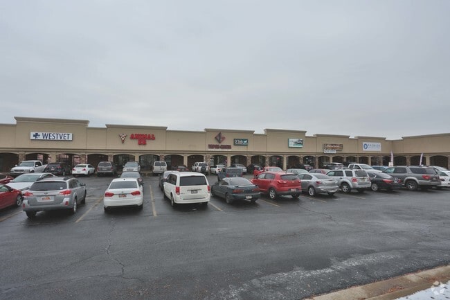
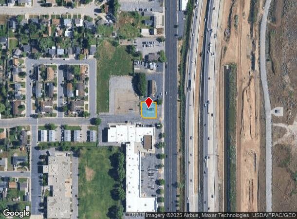
2583 N Main St
13-060-0018
Amended Plat Of Commonwealth Square
Restaurantdrivein
ALL OF UNIT 18, AMD COMMONWEALTH SQUARE A PLANNED COMMERCIAL DEVELOPMENT. CONT. 0.19 ACRES
X
Davis
49057C0425F
Utah
2025
0.19 AC
2025
Davis/Weber Counties
125301
Salt Lake City
338 SF
Ogden, UT
DEMOGRAPHICS near 2583 N Main St
1 mile
3 mile
5 mile
2024 Total Population
9,259
92,304
214,265
2029 Population
9,772
98,253
229,248
Pop Growth 2024-2029
+ 5.54%
+ 6.45%
+ 6.99%
Average Age
35
35
35
2024 Total Households
3,085
29,966
69,578
HH Growth 2024-2029
+ 5.74%
+ 6.66%
+ 7.17%
Median Household Inc
$67,387
$73,852
$77,144
Avg Household Size
2.90
3.00
3.00
2024 Avg HH Vehicles
2.00
2.00
2.00
Median Home Value
$306,672
$338,757
$361,808
Median Year Built
1970
1985
1991
Nearby Places
Map Layers
Map Styles
 Street
 Aerial
Transit
 Traffic
 Biking
Places
Listings with unknown addresses are not visible on the map
- Restaurants
- Banks
- Shops
- Fitness
- Groceries
PUBLIC TRANSPORTATION
COMMUTER RAIL
Roy (FrontRunner North - Utah Transit Authority (UTA))
Drive
Walk
Distance
Roy (FrontRunner North - Utah Transit Authority (UTA))
7 min
3.5 mi
Clearfield (FrontRunner North - Utah Transit Authority (UTA))
Drive
Walk
Distance
Clearfield (FrontRunner North - Utah Transit Authority (UTA))
9 min
4.5 mi
AIRPORT
Salt Lake City International
Drive
Walk
Distance
Salt Lake City International
41 min
33.1 mi
Freight Ports
Port of Stockton
Drive
Walk
Distance
Port of Stockton
741 min
723.5 mi
SALE & LEASE HISTORY
LISTING DATE
SALE/LEASE

Sep 30, 2016
For Lease
Feb 11, 2021
For Lease
Nearby Properties
Address
Land Use
TOTAL SIZE
Lot Size
Zoning
Address
Land Use
TOTAL SIZE
Lot Size
Zoning
2,657 SF
16.26 AC
Address
Land Use
TOTAL SIZE
Lot Size
Zoning
35,219 SF
58.98 AC
Address
Land Use
TOTAL SIZE
Lot Size
Zoning
125,164 SF
7.12 AC
Address
Land Use
TOTAL SIZE
Lot Size
Zoning
7,492 SF
8.96 AC
Address
Land Use
TOTAL SIZE
Lot Size
Zoning
71,940 SF
11 AC
Address
Land Use
TOTAL SIZE
Lot Size
Zoning
91,750 SF
6.76 AC
C2
Address
Land Use
TOTAL SIZE
Lot Size
Zoning
63,828 SF
5.30 AC
PF
Address
Land Use
TOTAL SIZE
Lot Size
Zoning
115,094 SF
13.88 AC
Address
Land Use
TOTAL SIZE
Lot Size
Zoning
76,778 SF
5.51 AC
Address
Land Use
TOTAL SIZE
Lot Size
Zoning
74,995 SF
6.07 AC
Address
Land Use
TOTAL SIZE
Lot Size
Zoning
225,497 SF
20.33 AC
Address
Land Use
TOTAL SIZE
Lot Size
Zoning
223,079 SF
22.55 AC
Address
Land Use
TOTAL SIZE
Lot Size
Zoning
2,140 SF
6.19 AC
Address
Land Use
TOTAL SIZE
Lot Size
Zoning
147,184 SF
2.53 AC
Address
Land Use
TOTAL SIZE
Lot Size
Zoning
139,574 SF
9.30 AC
Address
Land Use
TOTAL SIZE
Lot Size
Zoning
1,440 SF
7.72 AC
Address
Land Use
TOTAL SIZE
Lot Size
Zoning
62,246 SF
5.37 AC
PZ
Address
Land Use
TOTAL SIZE
Lot Size
Zoning
21,980 SF
11.68 AC
Address
Land Use
TOTAL SIZE
Lot Size
Zoning
2,682 SF
27.83 AC
Address
Land Use
TOTAL SIZE
Lot Size
Zoning
140,015 SF
12.14 AC
PZ
Address
Land Use
TOTAL SIZE
Lot Size
Zoning
13,590 SF
2.85 AC
Address
Land Use
TOTAL SIZE
Lot Size
Zoning
18,238 SF
2.74 AC
Address
Land Use
TOTAL SIZE
Lot Size
Zoning
88,125 SF
7.17 AC
PZ
Address
Land Use
TOTAL SIZE
Lot Size
Zoning
57,788 SF
5.24 AC
Address
Land Use
TOTAL SIZE
Lot Size
Zoning
58,287 SF
5.18 AC
The World's #1 Commercial Real Estate Marketplace
Connect with us
© 2026 CoStar Group
The information above has been obtained from sources believed reliable. While we do not doubt its accuracy we have not verified it and make no guarantee, warranty or representation about it. It is your responsibility to independently confirm its accuracy and completeness. Any projections, opinions, assumptions, or estimates used are for example only and do not represent the current or future performance of the property. The value of this transaction to you depends on tax and other factors which should be evaluated by your tax, financial, and legal advisors. You and your advisors should conduct a careful, independent investigation of the property to determine to your satisfaction the suitability of the property for your needs.