Property Record
2589 S 2570 W, West Valley City, UT 84119


NEARBY LISTINGS FOR SALE OR LEASE
Property Detail
2589 S 2570 W
Salt Lake City, UT
Radius Curve
15-21-452-007-0000
BEG N 00^0510 W 1133.11 FT & S 89^5711 E 660.34 FT FR S 1/4 COR SEC 21, T 1S, R 1W, SLM; S 89^5321 E 374.11 FT; SLY ALG A 11,599.16 FT RADIUS CURVE TO L 175.02 FT; N 89^5321 W 379.27 FT; N 44^07 W 65.27 FT; NELY ALG A 160 FT RADIUS CURVE TO L 128 FT;
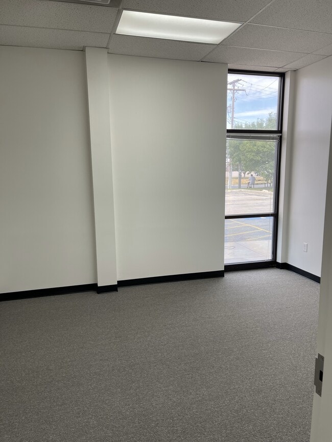
Officebuilding
Salt Lake
X
Utah
49035C0280E
175
2024
1.60 AC
2025
West Valley
113307
Salt Lake City
40,000 SF
DEMOGRAPHICS near 2589 S 2570 W
1 Mile
3 Mile
5 Mile
2024 Total Population
9,783
93,504
314,639
2029 Population
9,754
93,863
319,052
Pop Growth 2024-2029
(0.30%)
+ 0.38%
+ 1.40%
Average Age
34
35
36
2024 Total Households
2,788
29,345
112,319
HH Growth 2024-2029
(0.36%)
+ 0.45%
+ 1.65%
Median Household Inc
$57,468
$61,745
$62,729
Avg Household Size
3.30
3.00
2.70
2024 Avg HH Vehicles
2.00
2.00
2.00
Median Home Value
$227,756
$312,339
$349,005
Median Year Built
1976
1979
1979
Nearby Places
Map Layers
Map Styles
 Street
 Aerial
- Restaurants
- Banks
- Shops
- Fitness
- Groceries
PUBLIC TRANSPORTATION
COMMUTER RAIL
North Temple Station (FrontRunner - Utah Transit Authority (UTA))
DRIVE
WALK
Distance
North Temple Station (FrontRunner - Utah Transit Authority (UTA))
16 min
7.6 mi
Warm Springs Relief Point (FrontRunner - Utah Transit Authority (UTA))
DRIVE
WALK
Distance
Warm Springs Relief Point (FrontRunner - Utah Transit Authority (UTA))
17 min
9.0 mi
AIRPORT
Salt Lake City International
DRIVE
WALK
Distance
Salt Lake City International
12 min
6.8 mi
Freight Ports
Port of Stockton
DRIVE
WALK
Distance
Port of Stockton
712 min
693.2 mi
SALE & LEASE HISTORY
LISTING DATE
SALE/LEASE

Dec 13, 2022
For Lease
Nearby Properties
Address
Land Use
TOTAL SIZE
Lot Size
Zoning
Address
Land Use
TOTAL SIZE
Lot Size
Zoning
488,509 SF
36.03 AC
FLEX
Address
Land Use
TOTAL SIZE
Lot Size
Zoning
828,269 SF
9.06 AC
RM
Address
Land Use
TOTAL SIZE
Lot Size
Zoning
673,062 SF
15.84 AC
RM
Address
Land Use
TOTAL SIZE
Lot Size
Zoning
185,436 SF
25.23 AC
RM
Address
Land Use
TOTAL SIZE
Lot Size
Zoning
690,542 SF
35.75 AC
M-1
Address
Land Use
TOTAL SIZE
Lot Size
Zoning
322,076 SF
16.32 AC
PL
Address
Land Use
TOTAL SIZE
Lot Size
Zoning
195,790 SF
14.32 AC
RM
Address
Land Use
TOTAL SIZE
Lot Size
Zoning
76,096 SF
17.30 AC
RM
Address
Land Use
TOTAL SIZE
Lot Size
Zoning
84,870 SF
9.76 AC
MPMU
Address
Land Use
TOTAL SIZE
Lot Size
Zoning
217,700 SF
52.59 AC
FLEX
Address
Land Use
TOTAL SIZE
Lot Size
Zoning
429,554 SF
24.49 AC
M1
Address
Land Use
TOTAL SIZE
Lot Size
Zoning
401,887 SF
3.51 AC
RM
Address
Land Use
TOTAL SIZE
Lot Size
Zoning
80,985 SF
19.18 AC
RM
Address
Land Use
TOTAL SIZE
Lot Size
Zoning
29.13 AC
C-2
Address
Land Use
TOTAL SIZE
Lot Size
Zoning
426,280 SF
19.84 AC
M1
Address
Land Use
TOTAL SIZE
Lot Size
Zoning
289,725 SF
8.42 AC
1108
Address
Land Use
TOTAL SIZE
Lot Size
Zoning
116,268 SF
8.07 AC
RMF-45
Address
Land Use
TOTAL SIZE
Lot Size
Zoning
89,239 SF
14.78 AC
RM
Address
Land Use
TOTAL SIZE
Lot Size
Zoning
137,209 SF
38.90 AC
FLEX
Address
Land Use
TOTAL SIZE
Lot Size
Zoning
436,875 SF
26.95 AC
M-1
Address
Land Use
TOTAL SIZE
Lot Size
Zoning
431,400 SF
23.99 AC
IP-M-1
Address
Land Use
TOTAL SIZE
Lot Size
Zoning
381,105 SF
2.88 AC
CC
Address
Land Use
TOTAL SIZE
Lot Size
Zoning
750,887 SF
28 AC
M1
Address
Land Use
TOTAL SIZE
Lot Size
Zoning
304,366 SF
2.71 AC
M
Address
Land Use
TOTAL SIZE
Lot Size
Zoning
180,383 SF
4.77 AC
MXD
Address
Land Use
TOTAL SIZE
Lot Size
Zoning
46,874 SF
16.35 AC
RM
Address
Land Use
TOTAL SIZE
Lot Size
Zoning
603,730 SF
31.77 AC
PO
Address
Land Use
TOTAL SIZE
Lot Size
Zoning
393,809 SF
2.86 AC
CC
Address
Land Use
TOTAL SIZE
Lot Size
Zoning
449,868 SF
22.27 AC
M
Address
Land Use
TOTAL SIZE
Lot Size
Zoning
387,309 SF
32.37 AC
FLEX
The World's #1 Commercial Real Estate Marketplace
Connect with us
© 2026 CoStar Group
The information above has been obtained from sources believed reliable. While we do not doubt its accuracy we have not verified it and make no guarantee, warranty or representation about it. It is your responsibility to independently confirm its accuracy and completeness. Any projections, opinions, assumptions, or estimates used are for example only and do not represent the current or future performance of the property. The value of this transaction to you depends on tax and other factors which should be evaluated by your tax, financial, and legal advisors. You and your advisors should conduct a careful, independent investigation of the property to determine to your satisfaction the suitability of the property for your needs.