Property Record
2600 Post Rd, Southport, CT 06890


NEARBY LISTINGS FOR SALE OR LEASE
Property Detail
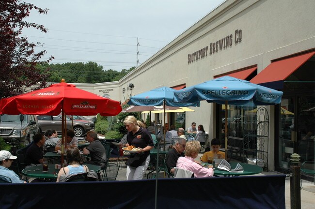
2600 Post Rd
Commercialbuilding
Fairfield
X
Connecticut
09001C0419G
2.29 AC
2025
Fairfield
2025
Westchester/So Connecticut
060600
Bridgeport-Stamford-Norwalk, CT
34,427 SF
FAIR-000229-000000-000040
DEMOGRAPHICS near 2600 Post Rd
1 Mile
3 Mile
5 Mile
2024 Total Population
7,867
46,203
124,383
2029 Population
7,997
46,617
124,772
Pop Growth 2024-2029
+ 1.65%
+ 0.90%
+ 0.31%
Average Age
44
40
39
2024 Total Households
3,077
16,208
44,345
HH Growth 2024-2029
+ 1.66%
+ 1.01%
+ 0.26%
Median Household Inc
$165,625
$163,126
$104,452
Avg Household Size
2.50
2.60
2.60
2024 Avg HH Vehicles
2.00
2.00
2.00
Median Home Value
$810,975
$792,749
$710,868
Median Year Built
1964
1962
1958
Nearby Places
Map Layers
Map Styles
 Street
 Aerial
- Restaurants
- Banks
- Shops
- Fitness
- Groceries
PUBLIC TRANSPORTATION
COMMUTER RAIL
Southport Station (New Haven Line - Metro-North Commuter Railroad Company (Metro-North))
DRIVE
WALK
Distance
Southport Station (New Haven Line - Metro-North Commuter Railroad Company (Metro-North))
2 min
12 min
0.6 mi
Fairfield Station (New Haven Line - Metro-North Commuter Railroad Company (Metro-North))
DRIVE
WALK
Distance
Fairfield Station (New Haven Line - Metro-North Commuter Railroad Company (Metro-North))
3 min
1.5 mi
AIRPORT
Tweed/New Haven
DRIVE
WALK
Distance
Tweed/New Haven
43 min
28.5 mi
Westchester County
DRIVE
WALK
Distance
Westchester County
45 min
28.6 mi
Long Island MacArthur
DRIVE
WALK
Distance
Long Island MacArthur
116 min
40.0 mi
Freight Ports
Port of New Haven
DRIVE
WALK
Distance
Port of New Haven
38 min
25.6 mi
SALE & LEASE HISTORY
LISTING DATE
SALE/LEASE

Sep 24, 2016
For Lease
Nov 07, 2017
For Lease
Apr 07, 2017
For Lease
Nearby Properties
Address
Land Use
TOTAL SIZE
Lot Size
Zoning
Address
Land Use
TOTAL SIZE
Lot Size
Zoning
50.42 AC
DDD4
Address
Land Use
TOTAL SIZE
Lot Size
Zoning
124 AC
FPD
Address
Land Use
TOTAL SIZE
Lot Size
Zoning
45.06 AC
AAA
Address
Land Use
TOTAL SIZE
Lot Size
Zoning
19.43 AC
A
Address
Land Use
TOTAL SIZE
Lot Size
Zoning
1,183 SF
2.33 AC
DID
Address
Land Use
TOTAL SIZE
Lot Size
Zoning
213,826 SF
18.30 AC
A
Address
Land Use
TOTAL SIZE
Lot Size
Zoning
10.28 AC
DID
Address
Land Use
TOTAL SIZE
Lot Size
Zoning
260,992 SF
4.19 AC
ILI
Address
Land Use
TOTAL SIZE
Lot Size
Zoning
24.82 AC
AA_A
Address
Land Use
TOTAL SIZE
Lot Size
Zoning
90,056 SF
28.10 AC
AA_A
Address
Land Use
TOTAL SIZE
Lot Size
Zoning
85,050 SF
6.76 AC
GBD
Address
Land Use
TOTAL SIZE
Lot Size
Zoning
144,086 SF
3.12 AC
DRD
Address
Land Use
TOTAL SIZE
Lot Size
Zoning
115,006 SF
2.51 AC
DCD
Address
Land Use
TOTAL SIZE
Lot Size
Zoning
12.47 AC
AA
Address
Land Use
TOTAL SIZE
Lot Size
Zoning
94,449 SF
5.40 AC
BPD/A
Address
Land Use
TOTAL SIZE
Lot Size
Zoning
23.70 AC
AAA
Address
Land Use
TOTAL SIZE
Lot Size
Zoning
97,746 SF
8.68 AC
GBD/A
Address
Land Use
TOTAL SIZE
Lot Size
Zoning
92,057 SF
10.20 AC
B
Address
Land Use
TOTAL SIZE
Lot Size
Zoning
73,120 SF
22.33 AC
DID
Address
Land Use
TOTAL SIZE
Lot Size
Zoning
9.63 AC
AA
Address
Land Use
TOTAL SIZE
Lot Size
Zoning
8.61 AC
AAA
Address
Land Use
TOTAL SIZE
Lot Size
Zoning
66,254 SF
22.74 AC
AA
Address
Land Use
TOTAL SIZE
Lot Size
Zoning
4.30 AC
HSD
Address
Land Use
TOTAL SIZE
Lot Size
Zoning
3.47 AC
GBD
Address
Land Use
TOTAL SIZE
Lot Size
Zoning
5.82 AC
AA
Address
Land Use
TOTAL SIZE
Lot Size
Zoning
77,764 SF
A
Address
Land Use
TOTAL SIZE
Lot Size
Zoning
98,056 SF
9.19 AC
DCD
Address
Land Use
TOTAL SIZE
Lot Size
Zoning
15,542 SF
3.54 AC
A
Address
Land Use
TOTAL SIZE
Lot Size
Zoning
42,624 SF
1.96 AC
GBD
Address
Land Use
TOTAL SIZE
Lot Size
Zoning
14,647 SF
6 AC
A
The World's #1 Commercial Real Estate Marketplace
Connect with us
© 2025 CoStar Group
The information above has been obtained from sources believed reliable. While we do not doubt its accuracy we have not verified it and make no guarantee, warranty or representation about it. It is your responsibility to independently confirm its accuracy and completeness. Any projections, opinions, assumptions, or estimates used are for example only and do not represent the current or future performance of the property. The value of this transaction to you depends on tax and other factors which should be evaluated by your tax, financial, and legal advisors. You and your advisors should conduct a careful, independent investigation of the property to determine to your satisfaction the suitability of the property for your needs.