Property Record
2600 S Cannon Blvd, Kannapolis, NC 28083
NEARBY LISTINGS FOR SALE OR LEASE
Property Detail
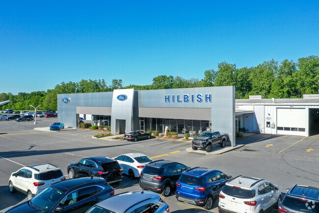
2600 S Cannon Blvd
Charlotte-Concord-Gastonia, NC-SC
South Cannon Blvd
5622-05-7833-0000
LTS 38-70 & P/O 71-85 87-104 ROYAL OAKS
Vehiclerentalsvehiclesales
Cabarrus
X
North Carolina
3710562200K
38-70
2025
6.50 AC
2025
Cabarrus County
040900
Charlotte
3,600 SF
DEMOGRAPHICS near 2600 S Cannon Blvd
1 Mile
3 Mile
5 Mile
2024 Total Population
7,281
53,134
109,537
2029 Population
8,240
60,273
123,427
Pop Growth 2024-2029
+ 13.17%
+ 13.44%
+ 12.68%
Average Age
39
39
39
2024 Total Households
2,902
20,848
42,731
HH Growth 2024-2029
+ 11.85%
+ 12.00%
+ 11.43%
Median Household Inc
$46,070
$56,162
$59,996
Avg Household Size
2.40
2.50
2.50
2024 Avg HH Vehicles
2.00
2.00
2.00
Median Home Value
$181,616
$203,145
$206,579
Median Year Built
1988
1983
1985
Nearby Places
Map Layers
Map Styles
 Street
 Aerial
- Restaurants
- Banks
- Shops
- Fitness
- Groceries
PUBLIC TRANSPORTATION
COMMUTER RAIL
Kannapolis Station (Piedmont - North Carolina by Train (NC Train))
DRIVE
WALK
Distance
Kannapolis Station (Piedmont - North Carolina by Train (NC Train))
7 min
3.2 mi
AIRPORT
Concord-Padgett Regional
DRIVE
WALK
Distance
Concord-Padgett Regional
18 min
10.5 mi
Charlotte/Douglas International
DRIVE
WALK
Distance
Charlotte/Douglas International
43 min
30.7 mi
Nearby Properties
Address
Land Use
TOTAL SIZE
Lot Size
Zoning
Address
Land Use
TOTAL SIZE
Lot Size
Zoning
280,149 SF
54.88 AC
C-2
Address
Land Use
TOTAL SIZE
Lot Size
Zoning
276,070 SF
CC
Address
Land Use
TOTAL SIZE
Lot Size
Zoning
14,691 SF
18.37 AC
R18
Address
Land Use
TOTAL SIZE
Lot Size
Zoning
42,409 SF
16 AC
GC
Address
Land Use
TOTAL SIZE
Lot Size
Zoning
114,382 SF
24.64 AC
R4
Address
Land Use
TOTAL SIZE
Lot Size
Zoning
6,880 SF
18.34 AC
RC
Address
Land Use
TOTAL SIZE
Lot Size
Zoning
176,676 SF
31.80 AC
R4
Address
Land Use
TOTAL SIZE
Lot Size
Zoning
15,156 SF
12.54 AC
RC
Address
Land Use
TOTAL SIZE
Lot Size
Zoning
90,350 SF
10.20 AC
PID
Address
Land Use
TOTAL SIZE
Lot Size
Zoning
44,136 SF
15.42 AC
R18
Address
Land Use
TOTAL SIZE
Lot Size
Zoning
83,152 SF
7.11 AC
CC
Address
Land Use
TOTAL SIZE
Lot Size
Zoning
15,924 SF
16.90 AC
RC
Address
Land Use
TOTAL SIZE
Lot Size
Zoning
24,618 SF
21.33 AC
R18
Address
Land Use
TOTAL SIZE
Lot Size
Zoning
29,957 SF
18.10 AC
PID
Address
Land Use
TOTAL SIZE
Lot Size
Zoning
121,219 SF
20 AC
AG
Address
Land Use
TOTAL SIZE
Lot Size
Zoning
29,259 SF
8.48 AC
RC
Address
Land Use
TOTAL SIZE
Lot Size
Zoning
122,182 SF
16.70 AC
C-2
Address
Land Use
TOTAL SIZE
Lot Size
Zoning
114,250 SF
18.50 AC
RM-2
Address
Land Use
TOTAL SIZE
Lot Size
Zoning
12,696 SF
9.71 AC
RC
Address
Land Use
TOTAL SIZE
Lot Size
Zoning
13,824 SF
9.78 AC
RC
Address
Land Use
TOTAL SIZE
Lot Size
Zoning
117,919 SF
61.62 AC
RM-1
Address
Land Use
TOTAL SIZE
Lot Size
Zoning
18,288 SF
9.45 AC
RC
Address
Land Use
TOTAL SIZE
Lot Size
Zoning
88,934 SF
8 AC
PID
Address
Land Use
TOTAL SIZE
Lot Size
Zoning
207,899 SF
21.62 AC
C-2
Address
Land Use
TOTAL SIZE
Lot Size
Zoning
85,422 SF
6.30 AC
R8
Address
Land Use
TOTAL SIZE
Lot Size
Zoning
10,072 SF
12.03 AC
RC
Address
Land Use
TOTAL SIZE
Lot Size
Zoning
14,402 SF
9.02 AC
RC
Address
Land Use
TOTAL SIZE
Lot Size
Zoning
80,409 SF
11.15 AC
C-1
Address
Land Use
TOTAL SIZE
Lot Size
Zoning
12,010 SF
0.40 AC
CC
Address
Land Use
TOTAL SIZE
Lot Size
Zoning
134,754 SF
19.51 AC
O-I
The World's #1 Commercial Real Estate Marketplace
Connect with us
© 2025 CoStar Group
The information above has been obtained from sources believed reliable. While we do not doubt its accuracy we have not verified it and make no guarantee, warranty or representation about it. It is your responsibility to independently confirm its accuracy and completeness. Any projections, opinions, assumptions, or estimates used are for example only and do not represent the current or future performance of the property. The value of this transaction to you depends on tax and other factors which should be evaluated by your tax, financial, and legal advisors. You and your advisors should conduct a careful, independent investigation of the property to determine to your satisfaction the suitability of the property for your needs.