Property Record
2600 Shanks Rd, Angleton, TX 77515

Property Detail
2600 Shanks Rd
0134-0306-000
A0134 E WALLER TRACT 2 (TURNER SD) (SD E/2 BLK 4) ACRES .64 (ANGLETON)
Commercialnec
BRAZORIA
0377
Texas
B and X Area of moderate flood hazard, usually the area between the limits of the 100-year and 500-year floods.
13b
2024
0.64 AC
2025
South Hwy 35
664100
Houston
3,171 SF
Houston-Pasadena-The Woodlands, TX
NEARBY LISTINGS FOR SALE OR LEASE
DEMOGRAPHICS near 2600 Shanks Rd
1 mile
3 mile
5 mile
2025 Total Population
1,974
11,198
37,231
2030 Population
2,206
12,499
41,300
Pop Growth 2025-2030
+ 11.75%
+ 11.62%
+ 10.93%
Average Age
37
38
39
2025 Total Households
667
3,944
13,386
HH Growth 2025-2030
+ 12.14%
+ 11.94%
+ 11.40%
Median Household Inc
$114,818
$91,416
$90,421
Avg Household Size
2.90
2.80
2.70
2025 Avg HH Vehicles
2.00
2.00
2.00
Median Home Value
$251,732
$200,370
$241,078
Median Year Built
1984
1979
1984
Nearby Places
Map Layers
Map Styles
 Street
 Aerial
Layers
 Traffic
 Biking
Places
Listings with unknown addresses are not visible on the map
- Restaurants
- Banks
- Shops
- Fitness
- Groceries
SALE & LEASE HISTORY
LISTING DATE
SALE/LEASE

Apr 07, 2025
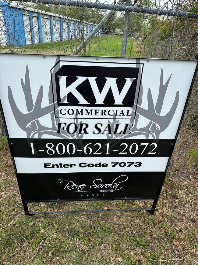
For Sale
Nearby Properties
Address
Land Use
TOTAL SIZE
Lot Size
Zoning
Address
Land Use
TOTAL SIZE
Lot Size
Zoning
305,581 SF
8.28 AC
Address
Land Use
TOTAL SIZE
Lot Size
Zoning
318,545 SF
50.52 AC
Address
Land Use
TOTAL SIZE
Lot Size
Zoning
92,290 SF
6.17 AC
0361
Address
Land Use
TOTAL SIZE
Lot Size
Zoning
116,629 SF
44.43 AC
Address
Land Use
TOTAL SIZE
Lot Size
Zoning
96,487 SF
1 AC
0011
Address
Land Use
TOTAL SIZE
Lot Size
Zoning
6.52 AC
Address
Land Use
TOTAL SIZE
Lot Size
Zoning
4.60 AC
Address
Land Use
TOTAL SIZE
Lot Size
Zoning
18,091 SF
29.61 AC
Address
Land Use
TOTAL SIZE
Lot Size
Zoning
77,295 SF
6.63 AC
0056
Address
Land Use
TOTAL SIZE
Lot Size
Zoning
17,007 SF
13.60 AC
0021
Address
Land Use
TOTAL SIZE
Lot Size
Zoning
1,930 SF
30 AC
0436
Address
Land Use
TOTAL SIZE
Lot Size
Zoning
33,546 SF
13.28 AC
Address
Land Use
TOTAL SIZE
Lot Size
Zoning
112,149 SF
35.71 AC
Address
Land Use
TOTAL SIZE
Lot Size
Zoning
14.52 AC
Address
Land Use
TOTAL SIZE
Lot Size
Zoning
20,171 SF
35 AC
Address
Land Use
TOTAL SIZE
Lot Size
Zoning
52,544 SF
4.87 AC
0256
Address
Land Use
TOTAL SIZE
Lot Size
Zoning
Address
Land Use
TOTAL SIZE
Lot Size
Zoning
13,470 SF
0.68 AC
0066
Address
Land Use
TOTAL SIZE
Lot Size
Zoning
29,670 SF
21.34 AC
0149
Address
Land Use
TOTAL SIZE
Lot Size
Zoning
8.91 AC
Address
Land Use
TOTAL SIZE
Lot Size
Zoning
24,447 SF
0.83 AC
Address
Land Use
TOTAL SIZE
Lot Size
Zoning
26,782 SF
11.74 AC
324A
Address
Land Use
TOTAL SIZE
Lot Size
Zoning
2.41 AC
0057
Address
Land Use
TOTAL SIZE
Lot Size
Zoning
58,752 SF
49.99 AC
0183
Address
Land Use
TOTAL SIZE
Lot Size
Zoning
12,229 SF
2.21 AC
Address
Land Use
TOTAL SIZE
Lot Size
Zoning
71,060 SF
13.36 AC
0134
Address
Land Use
TOTAL SIZE
Lot Size
Zoning
26,140 SF
7.48 AC
0470
Address
Land Use
TOTAL SIZE
Lot Size
Zoning
24,860 SF
1.13 AC
Address
Land Use
TOTAL SIZE
Lot Size
Zoning
4,104 SF
11.84 AC
Address
Land Use
TOTAL SIZE
Lot Size
Zoning
9,373 SF
1.36 AC
The World's #1 Commercial Real Estate Marketplace
Connect with us
© 2026 CoStar Group
The information above has been obtained from sources believed reliable. While we do not doubt its accuracy we have not verified it and make no guarantee, warranty or representation about it. It is your responsibility to independently confirm its accuracy and completeness. Any projections, opinions, assumptions, or estimates used are for example only and do not represent the current or future performance of the property. The value of this transaction to you depends on tax and other factors which should be evaluated by your tax, financial, and legal advisors. You and your advisors should conduct a careful, independent investigation of the property to determine to your satisfaction the suitability of the property for your needs.