Property Record
2601 Buford Dam Rd, Buford, GA 30518

Property Detail
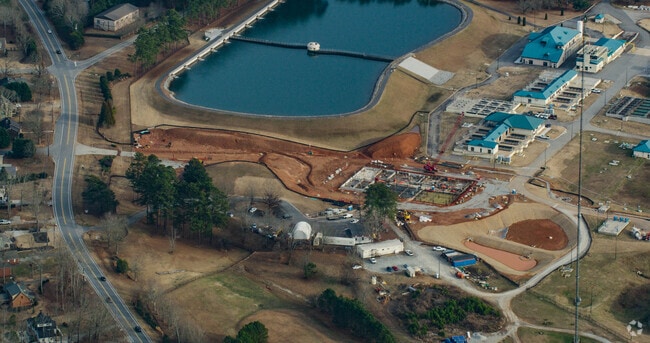
2601 Buford Dam Rd
7-327-007
BUFORD DAM RD
Wellsiteagricultural
GWINNETT
P
Georgia
B and X Area of moderate flood hazard, usually the area between the limits of the 100-year and 500-year floods.
93.99 AC
0
Duluth/Suwanee/Buford
2025
Atlanta
050110
Atlanta-Sandy Springs-Roswell, GA
114,261 SF
NEARBY LISTINGS FOR SALE OR LEASE
-
-
View all Buford listings for sale on LoopNet.com
DEMOGRAPHICS near 2601 Buford Dam Rd
1 mile
3 mile
5 mile
2024 Total Population
2,852
30,362
91,836
2029 Population
3,050
32,366
97,611
Pop Growth 2024-2029
+ 6.94%
+ 6.60%
+ 6.29%
Average Age
41
38
38
2024 Total Households
1,017
10,150
30,496
HH Growth 2024-2029
+ 6.98%
+ 6.71%
+ 6.41%
Median Household Inc
$104,024
$81,385
$94,135
Avg Household Size
2.80
3.00
3.00
2024 Avg HH Vehicles
2.00
2.00
2.00
Median Home Value
$482,075
$426,606
$438,087
Median Year Built
1996
1998
2002
Nearby Places
Map Layers
Map Styles
 Street
 Aerial
Transit
 Traffic
 Biking
Places
Listings with unknown addresses are not visible on the map
- Restaurants
- Banks
- Shops
- Fitness
- Groceries
Nearby Properties
Address
Land Use
TOTAL SIZE
Lot Size
Zoning
Address
Land Use
TOTAL SIZE
Lot Size
Zoning
285,000 SF
97.06 AC
M-I
Address
Land Use
TOTAL SIZE
Lot Size
Zoning
815,563 SF
58.80 AC
M-I
Address
Land Use
TOTAL SIZE
Lot Size
Zoning
101,632 SF
78.33 AC
M-I
Address
Land Use
TOTAL SIZE
Lot Size
Zoning
286,520 SF
21.60 AC
P
Address
Land Use
TOTAL SIZE
Lot Size
Zoning
384,000 SF
23.08 AC
BG
Address
Land Use
TOTAL SIZE
Lot Size
Zoning
213,532 SF
44.32 AC
M-I
Address
Land Use
TOTAL SIZE
Lot Size
Zoning
461,700 SF
43.77 AC
C2
Address
Land Use
TOTAL SIZE
Lot Size
Zoning
224,093 SF
33.94 AC
M-I
Address
Land Use
TOTAL SIZE
Lot Size
Zoning
113,271 SF
78.32 AC
C2
Address
Land Use
TOTAL SIZE
Lot Size
Zoning
204,436 SF
16.28 AC
BG2
Address
Land Use
TOTAL SIZE
Lot Size
Zoning
652,710 SF
40.90 AC
M1
Address
Land Use
TOTAL SIZE
Lot Size
Zoning
440,904 SF
37.84 AC
M1
Address
Land Use
TOTAL SIZE
Lot Size
Zoning
264,600 SF
10.27 AC
M1
Address
Land Use
TOTAL SIZE
Lot Size
Zoning
150,591 SF
24.39 AC
P
Address
Land Use
TOTAL SIZE
Lot Size
Zoning
641,180 SF
57.04 AC
M1
Address
Land Use
TOTAL SIZE
Lot Size
Zoning
875,180 SF
58.69 AC
C1
Address
Land Use
TOTAL SIZE
Lot Size
Zoning
573,750 SF
43.94 AC
C1
Address
Land Use
TOTAL SIZE
Lot Size
Zoning
143,000 SF
41.30 AC
M-I
Address
Land Use
TOTAL SIZE
Lot Size
Zoning
274,018 SF
25.57 AC
M1
Address
Land Use
TOTAL SIZE
Lot Size
Zoning
458,256 SF
26.39 AC
M-I
Address
Land Use
TOTAL SIZE
Lot Size
Zoning
261,368 SF
5.80 AC
M-I
Address
Land Use
TOTAL SIZE
Lot Size
Zoning
506,870 SF
21.60 AC
M1
Address
Land Use
TOTAL SIZE
Lot Size
Zoning
488,890 SF
59.62 AC
M1
Address
Land Use
TOTAL SIZE
Lot Size
Zoning
225,851 SF
34.35 AC
R75
Address
Land Use
TOTAL SIZE
Lot Size
Zoning
445,214 SF
54.83 AC
C2
Address
Land Use
TOTAL SIZE
Lot Size
Zoning
350,084 SF
40 AC
M1
Address
Land Use
TOTAL SIZE
Lot Size
Zoning
94,574 SF
18.12 AC
RS100
Address
Land Use
TOTAL SIZE
Lot Size
Zoning
92,789 SF
8.93 AC
C2
Address
Land Use
TOTAL SIZE
Lot Size
Zoning
151,330 SF
19.30 AC
RM
Address
Land Use
TOTAL SIZE
Lot Size
Zoning
139,430 SF
35.40 AC
P
The World's #1 Commercial Real Estate Marketplace
Connect with us
© 2026 CoStar Group
The information above has been obtained from sources believed reliable. While we do not doubt its accuracy we have not verified it and make no guarantee, warranty or representation about it. It is your responsibility to independently confirm its accuracy and completeness. Any projections, opinions, assumptions, or estimates used are for example only and do not represent the current or future performance of the property. The value of this transaction to you depends on tax and other factors which should be evaluated by your tax, financial, and legal advisors. You and your advisors should conduct a careful, independent investigation of the property to determine to your satisfaction the suitability of the property for your needs.