Property Record
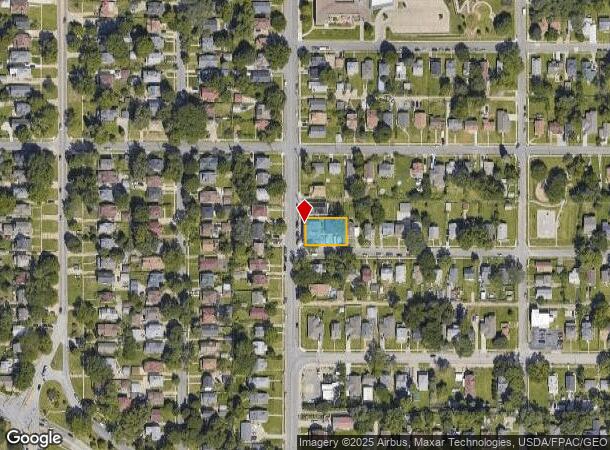
2603 N 45Th St, Omaha, NE 68104

This Property Is For Sale
NEARBY LISTINGS FOR SALE OR LEASE
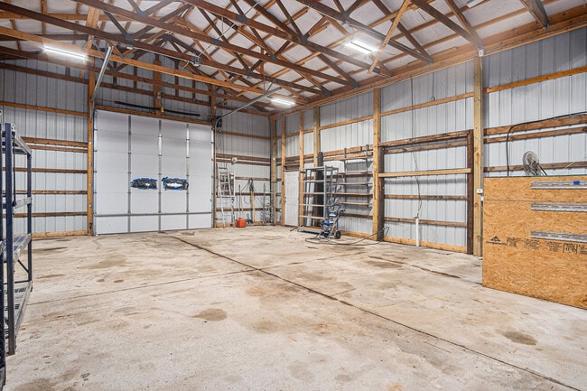
Property Detail
2603 N 45Th St
Omaha-Council Bluffs, NE-IA
Creighton Heights
0826-0000-09
Douglas
Condominium
Nebraska
X
0.22 AC
31055C0236H
Northeast Omaha
5,839 SF
Omaha/Council Bluffs
DEMOGRAPHICS near 2603 N 45Th St
1 Mile
3 Mile
5 Mile
2024 Total Population
19,619
147,032
274,251
2029 Population
19,950
150,243
279,034
Pop Growth 2024-2029
+ 1.69%
+ 2.18%
+ 1.74%
Average Age
35
36
37
2024 Total Households
7,418
59,809
111,697
HH Growth 2024-2029
+ 1.67%
+ 2.35%
+ 1.88%
Median Household Inc
$50,245
$44,981
$53,748
Avg Household Size
2.50
2.30
2.30
2024 Avg HH Vehicles
2.00
2.00
2.00
Median Home Value
$164,967
$164,734
$168,729
Median Year Built
1948
1953
1959
Nearby Places
- Restaurants
- Banks
- Shops
- Fitness
- Groceries
PUBLIC TRANSPORTATION
COMMUTER RAIL
Omaha Amtrak Station (California Zephyr - Amtrak)
DRIVE
WALK
Distance
Omaha Amtrak Station (California Zephyr - Amtrak)
10 min
4.9 mi
Omaha Amtrak Station (California Zephyr - Amtrak)
DRIVE
WALK
Distance
Omaha Amtrak Station (California Zephyr - Amtrak)
11 min
5.1 mi
AIRPORT
Eppley Airfield
DRIVE
WALK
Distance
Eppley Airfield
14 min
5.4 mi
Freight Ports
Tulsa Port Of Catoosa
DRIVE
WALK
Distance
Tulsa Port Of Catoosa
467 min
421.3 mi
Nearby Properties
Address
Land Use
TOTAL SIZE
Lot Size
Zoning
Address
Land Use
TOTAL SIZE
Lot Size
Zoning
1,068,760 SF
1.72 AC
Address
Land Use
TOTAL SIZE
Lot Size
Zoning
1,318,852 SF
8.77 AC
Address
Land Use
TOTAL SIZE
Lot Size
Zoning
603,518 SF
5.55 AC
CBD
Address
Land Use
TOTAL SIZE
Lot Size
Zoning
370,431 SF
8.57 AC
Address
Land Use
TOTAL SIZE
Lot Size
Zoning
1,027,620 SF
4.33 AC
Address
Land Use
TOTAL SIZE
Lot Size
Zoning
378,420 SF
0.72 AC
Address
Land Use
TOTAL SIZE
Lot Size
Zoning
276,622 SF
3.90 AC
Address
Land Use
TOTAL SIZE
Lot Size
Zoning
189,720 SF
1.22 AC
CBD
Address
Land Use
TOTAL SIZE
Lot Size
Zoning
206,591 SF
0.60 AC
Address
Land Use
TOTAL SIZE
Lot Size
Zoning
335,431 SF
0.79 AC
Address
Land Use
TOTAL SIZE
Lot Size
Zoning
140,130 SF
1.89 AC
Address
Land Use
TOTAL SIZE
Lot Size
Zoning
274,024 SF
1.46 AC
Address
Land Use
TOTAL SIZE
Lot Size
Zoning
254,548 SF
1.67 AC
Address
Land Use
TOTAL SIZE
Lot Size
Zoning
198,447 SF
1.36 AC
Address
Land Use
TOTAL SIZE
Lot Size
Zoning
200,501 SF
1.78 AC
DS
Address
Land Use
TOTAL SIZE
Lot Size
Zoning
281,014 SF
3.68 AC
Address
Land Use
TOTAL SIZE
Lot Size
Zoning
200,580 SF
3.22 AC
Address
Land Use
TOTAL SIZE
Lot Size
Zoning
199,734 SF
3.10 AC
Address
Land Use
TOTAL SIZE
Lot Size
Zoning
215,353 SF
1.77 AC
Address
Land Use
TOTAL SIZE
Lot Size
Zoning
73,337 SF
0.85 AC
Address
Land Use
TOTAL SIZE
Lot Size
Zoning
247,802 SF
0.98 AC
Address
Land Use
TOTAL SIZE
Lot Size
Zoning
216,667 SF
8.13 AC
Address
Land Use
TOTAL SIZE
Lot Size
Zoning
115,920 SF
0.33 AC
Address
Land Use
TOTAL SIZE
Lot Size
Zoning
139,930 SF
1.34 AC
Address
Land Use
TOTAL SIZE
Lot Size
Zoning
158,547 SF
1.81 AC
Address
Land Use
TOTAL SIZE
Lot Size
Zoning
266,775 SF
18.22 AC
CBD
Address
Land Use
TOTAL SIZE
Lot Size
Zoning
80,060 SF
Address
Land Use
TOTAL SIZE
Lot Size
Zoning
628,656 SF
2.76 AC
MU
Address
Land Use
TOTAL SIZE
Lot Size
Zoning
158,816 SF
0.40 AC
The World's #1 Commercial Real Estate Marketplace
Connect with us
© 2025 CoStar Group
The information above has been obtained from sources believed reliable. While we do not doubt its accuracy we have not verified it and make no guarantee, warranty or representation about it. It is your responsibility to independently confirm its accuracy and completeness. Any projections, opinions, assumptions, or estimates used are for example only and do not represent the current or future performance of the property. The value of this transaction to you depends on tax and other factors which should be evaluated by your tax, financial, and legal advisors. You and your advisors should conduct a careful, independent investigation of the property to determine to your satisfaction the suitability of the property for your needs.