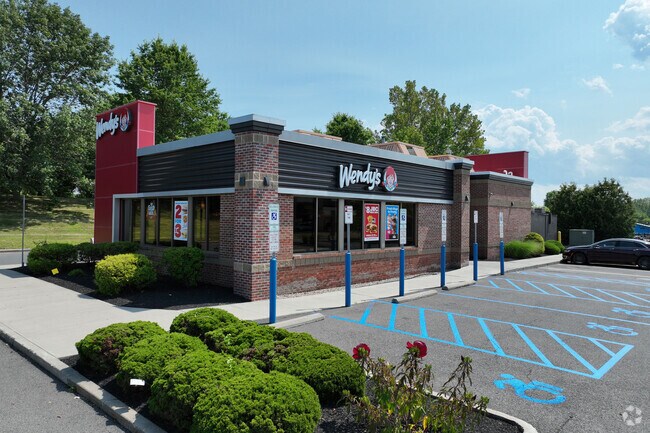
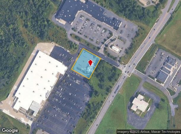
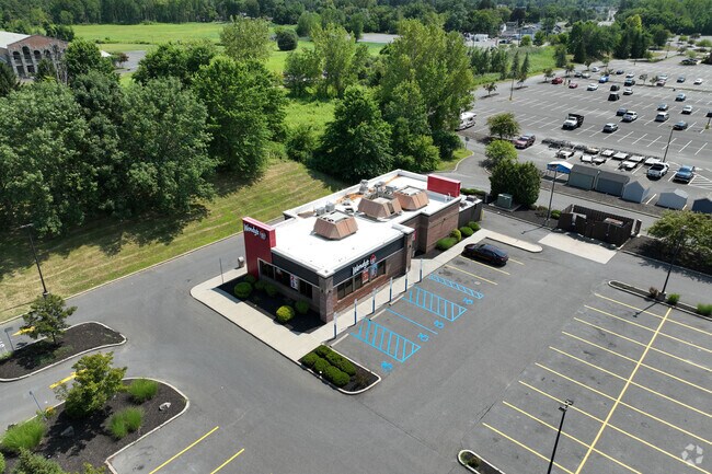
Property Record
261 Route 9W, Glenmont, NY 12077
NEARBY LISTINGS FOR SALE OR LEASE
Property Detail
261 Route 9W
012200-086-000-0002-021-005-0000
Albany
Restaurantdrivein
New York
X
21.005
36001C0306D
1 AC
2025
W Outer Albany County
2024
Albany/Schenectady/Troy
014201
Albany-Schenectady-Troy, NY
2,946 SF
DEMOGRAPHICS near 261 Route 9W
1 Mile
3 Mile
5 Mile
2024 Total Population
2,316
51,571
143,893
2029 Population
2,316
51,011
142,244
Pop Growth 2024-2029
0.00%
(1.09%)
(1.15%)
Average Age
42
40
39
2024 Total Households
936
21,632
63,063
HH Growth 2024-2029
0.00%
(1.16%)
(1.16%)
Median Household Inc
$103,093
$76,561
$67,852
Avg Household Size
2.40
2.20
2.10
2024 Avg HH Vehicles
2.00
2.00
1.00
Median Home Value
$307,634
$247,259
$245,839
Median Year Built
1979
1954
1956
Nearby Places
- Restaurants
- Banks
- Shops
- Fitness
- Groceries
PUBLIC TRANSPORTATION
COMMUTER RAIL
DRIVE
WALK
Distance
10 min
4.2 mi
AIRPORT
Albany International
DRIVE
WALK
Distance
Albany International
26 min
14.0 mi
Freight Ports
Albany, NY Port
DRIVE
WALK
Distance
Albany, NY Port
6 min
2.5 mi
Nearby Properties
Address
Land Use
TOTAL SIZE
Lot Size
Zoning
Address
Land Use
TOTAL SIZE
Lot Size
Zoning
11,372 SF
30 AC
CO
Address
Land Use
TOTAL SIZE
Lot Size
Zoning
674,048 SF
7.40 AC
CO
Address
Land Use
TOTAL SIZE
Lot Size
Zoning
33.88 AC
I2
Address
Land Use
TOTAL SIZE
Lot Size
Zoning
599,952 SF
28.30 AC
CO
Address
Land Use
TOTAL SIZE
Lot Size
Zoning
442,188 SF
15.10 AC
CO
Address
Land Use
TOTAL SIZE
Lot Size
Zoning
83.50 AC
Address
Land Use
TOTAL SIZE
Lot Size
Zoning
133,984 SF
205.20 AC
C2
Address
Land Use
TOTAL SIZE
Lot Size
Zoning
152,951 SF
3.70 AC
CO
Address
Land Use
TOTAL SIZE
Lot Size
Zoning
197,169 SF
5 AC
CO
Address
Land Use
TOTAL SIZE
Lot Size
Zoning
802,560 SF
5.70 AC
R4
Address
Land Use
TOTAL SIZE
Lot Size
Zoning
191.95 AC
LC
Address
Land Use
TOTAL SIZE
Lot Size
Zoning
156,056 SF
1.31 AC
CO
Address
Land Use
TOTAL SIZE
Lot Size
Zoning
12,660 SF
15.60 AC
CO
Address
Land Use
TOTAL SIZE
Lot Size
Zoning
5,248 SF
200.90 AC
LC
Address
Land Use
TOTAL SIZE
Lot Size
Zoning
78,458 SF
28.70 AC
R1B
Address
Land Use
TOTAL SIZE
Lot Size
Zoning
104,077 SF
6.64 AC
B-2
Address
Land Use
TOTAL SIZE
Lot Size
Zoning
198,884 SF
5.35 AC
CO
Address
Land Use
TOTAL SIZE
Lot Size
Zoning
26,010 SF
14.65 AC
CO
Address
Land Use
TOTAL SIZE
Lot Size
Zoning
161,972 SF
26.62 AC
OI
Address
Land Use
TOTAL SIZE
Lot Size
Zoning
171,096 SF
18.04 AC
B-2
Address
Land Use
TOTAL SIZE
Lot Size
Zoning
96,000 SF
3.92 AC
CO
Address
Land Use
TOTAL SIZE
Lot Size
Zoning
404,796 SF
2.23 AC
CO
Address
Land Use
TOTAL SIZE
Lot Size
Zoning
103,982 SF
4.70 AC
CO
Address
Land Use
TOTAL SIZE
Lot Size
Zoning
121,340 SF
7.10 AC
CO
Address
Land Use
TOTAL SIZE
Lot Size
Zoning
362,112 SF
2.28 AC
CO
Address
Land Use
TOTAL SIZE
Lot Size
Zoning
88,040 SF
1.80 AC
C3
Address
Land Use
TOTAL SIZE
Lot Size
Zoning
5,776 SF
90.90 AC
M1
Address
Land Use
TOTAL SIZE
Lot Size
Zoning
17,440 SF
4.10 AC
R2A
Address
Land Use
TOTAL SIZE
Lot Size
Zoning
62,714 SF
8.74 AC
OI
Address
Land Use
TOTAL SIZE
Lot Size
Zoning
96,554 SF
18.50 AC
R1B
The World's #1 Commercial Real Estate Marketplace
Connect with us
© 2025 CoStar Group
The information above has been obtained from sources believed reliable. While we do not doubt its accuracy we have not verified it and make no guarantee, warranty or representation about it. It is your responsibility to independently confirm its accuracy and completeness. Any projections, opinions, assumptions, or estimates used are for example only and do not represent the current or future performance of the property. The value of this transaction to you depends on tax and other factors which should be evaluated by your tax, financial, and legal advisors. You and your advisors should conduct a careful, independent investigation of the property to determine to your satisfaction the suitability of the property for your needs.