Property Record
2610 Craig Rd, Eau Claire, WI 54701

NEARBY LISTINGS FOR SALE OR LEASE
Property Detail
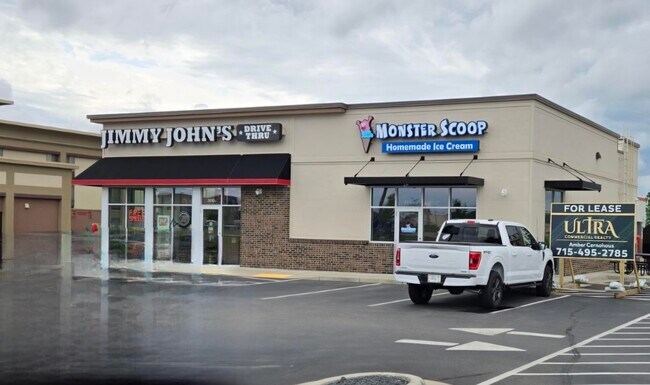
2610 Craig Rd
Eau Claire, WI
Csm No. 3545
15-1064-A
LOT 1 CSM 3545 REC V 20 PG 84 DOC 1186506 LOC IN NE1/4 OF SW1/4 SEC 30-27-9 BEG 2021
Carwash
Eau Claire
X
Wisconsin
55017C0725E
1
2024
1.02 AC
2024
Eau Claire/Menomonie
000900
Other Market Areas
2,592 SF
DEMOGRAPHICS near 2610 Craig Rd
1 Mile
3 Mile
5 Mile
2024 Total Population
7,026
51,017
86,369
2029 Population
7,262
52,877
89,864
Pop Growth 2024-2029
+ 3.36%
+ 3.65%
+ 4.05%
Average Age
33
36
38
2024 Total Households
2,769
20,952
35,777
HH Growth 2024-2029
+ 3.58%
+ 3.76%
+ 4.13%
Median Household Inc
$45,141
$55,497
$62,397
Avg Household Size
2.20
2.20
2.20
2024 Avg HH Vehicles
2.00
2.00
2.00
Median Home Value
$220,746
$213,611
$231,102
Median Year Built
1977
1969
1976
Nearby Places
Map Layers
Map Styles
 Street
 Aerial
- Restaurants
- Banks
- Shops
- Fitness
- Groceries
SALE & LEASE HISTORY
LISTING DATE
SALE/LEASE

Nov 19, 2018
For Sale
May 26, 2024
For Lease
Apr 24, 2018
For Sale
Nearby Properties
Address
Land Use
TOTAL SIZE
Lot Size
Zoning
Address
Land Use
TOTAL SIZE
Lot Size
Zoning
119.93 AC
Address
Land Use
TOTAL SIZE
Lot Size
Zoning
203,723 SF
Address
Land Use
TOTAL SIZE
Lot Size
Zoning
361,759 SF
8.46 AC
Address
Land Use
TOTAL SIZE
Lot Size
Zoning
206,042 SF
5.59 AC
Address
Land Use
TOTAL SIZE
Lot Size
Zoning
21.83 AC
I1
Address
Land Use
TOTAL SIZE
Lot Size
Zoning
1.36 AC
CBD
Address
Land Use
TOTAL SIZE
Lot Size
Zoning
114,683 SF
5.47 AC
C3H
Address
Land Use
TOTAL SIZE
Lot Size
Zoning
94,173 SF
9.36 AC
C3
Address
Land Use
TOTAL SIZE
Lot Size
Zoning
81,260 SF
2.32 AC
R4
Address
Land Use
TOTAL SIZE
Lot Size
Zoning
199,534 SF
7.23 AC
Address
Land Use
TOTAL SIZE
Lot Size
Zoning
1.05 AC
P
Address
Land Use
TOTAL SIZE
Lot Size
Zoning
105,434 SF
1.55 AC
CBD
Address
Land Use
TOTAL SIZE
Lot Size
Zoning
66,393 SF
12.95 AC
Address
Land Use
TOTAL SIZE
Lot Size
Zoning
65,378 SF
1.83 AC
Address
Land Use
TOTAL SIZE
Lot Size
Zoning
114,100 SF
2.64 AC
Address
Land Use
TOTAL SIZE
Lot Size
Zoning
68,024 SF
0.80 AC
CBD
Address
Land Use
TOTAL SIZE
Lot Size
Zoning
88,350 SF
0.40 AC
Address
Land Use
TOTAL SIZE
Lot Size
Zoning
97,194 SF
7.39 AC
C3H
Address
Land Use
TOTAL SIZE
Lot Size
Zoning
85,790 SF
5.68 AC
C3
Address
Land Use
TOTAL SIZE
Lot Size
Zoning
66,497 SF
0.81 AC
CBDP
Address
Land Use
TOTAL SIZE
Lot Size
Zoning
7,084 SF
26.73 AC
I2P
Address
Land Use
TOTAL SIZE
Lot Size
Zoning
0.78 AC
Address
Land Use
TOTAL SIZE
Lot Size
Zoning
92,339 SF
9.93 AC
C3
Address
Land Use
TOTAL SIZE
Lot Size
Zoning
103,890 SF
6.30 AC
R4P
Address
Land Use
TOTAL SIZE
Lot Size
Zoning
70,965 SF
0.78 AC
CBD
Address
Land Use
TOTAL SIZE
Lot Size
Zoning
73,414 SF
2.46 AC
C3P
Address
Land Use
TOTAL SIZE
Lot Size
Zoning
60,473 SF
1.83 AC
Address
Land Use
TOTAL SIZE
Lot Size
Zoning
8,938 SF
8.06 AC
Address
Land Use
TOTAL SIZE
Lot Size
Zoning
153,536 SF
9.51 AC
I2P
Address
Land Use
TOTAL SIZE
Lot Size
Zoning
84.65 AC
The World's #1 Commercial Real Estate Marketplace
Connect with us
© 2025 CoStar Group
The information above has been obtained from sources believed reliable. While we do not doubt its accuracy we have not verified it and make no guarantee, warranty or representation about it. It is your responsibility to independently confirm its accuracy and completeness. Any projections, opinions, assumptions, or estimates used are for example only and do not represent the current or future performance of the property. The value of this transaction to you depends on tax and other factors which should be evaluated by your tax, financial, and legal advisors. You and your advisors should conduct a careful, independent investigation of the property to determine to your satisfaction the suitability of the property for your needs.