Property Record
2611 Nut Tree Rd, Vacaville, CA 95687
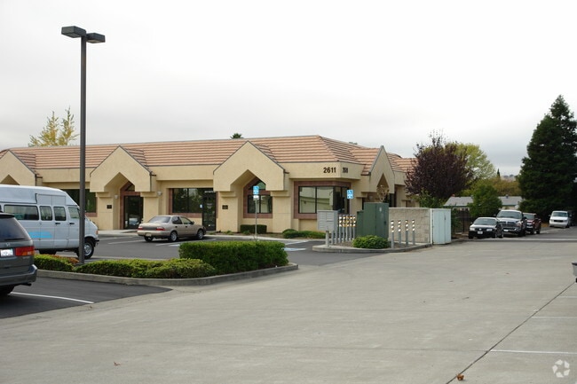

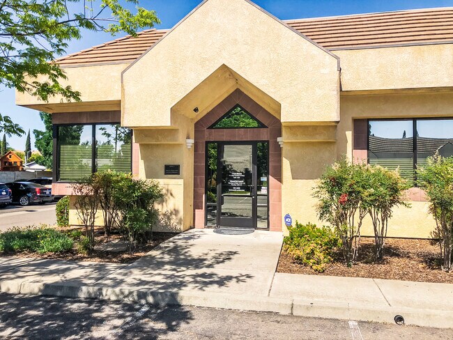

Property Detail
2611 Nut Tree Rd
0136-070-290
BK-BG 50-12
Medicalbuilding
SOLANO
C and X Area of minimal flood hazard, usually depicted on FIRMs as above the 500-year flood level.
California
2024
0.06 AC
2025
Vacaville/Dixon
252914
North Bay/Santa Rosa
2,490 SF
Vallejo, CA
NEARBY LISTINGS FOR SALE OR LEASE
DEMOGRAPHICS near 2611 Nut Tree Rd
1 mile
3 mile
5 mile
2025 Total Population
24,627
84,934
131,342
2030 Population
24,892
86,106
133,301
Pop Growth 2025-2030
+ 1.08%
+ 1.38%
+ 1.49%
Average Age
38
40
40
2025 Total Households
8,402
28,417
44,045
HH Growth 2025-2030
+ 1.07%
+ 1.41%
+ 1.52%
Median Household Inc
$118,786
$109,119
$115,792
Avg Household Size
2.90
2.70
2.80
2025 Avg HH Vehicles
2.00
2.00
2.00
Median Home Value
$711,386
$692,361
$715,878
Median Year Built
1985
1985
1987
Nearby Places
Map Layers
Map Styles
 Street
 Aerial
Transit
 Traffic
 Biking
Places
Listings with unknown addresses are not visible on the map
- Restaurants
- Banks
- Shops
- Fitness
- Groceries
PUBLIC TRANSPORTATION
COMMUTER RAIL
Fairfield-Vacaville Amtrak Station (Capitol Corridor - Amtrak)
Drive
Walk
Distance
Fairfield-Vacaville Amtrak Station (Capitol Corridor - Amtrak)
8 min
4.6 mi
Freight Ports
Port of Richmond
Drive
Walk
Distance
Port of Richmond
60 min
45.6 mi
SALE & LEASE HISTORY
LISTING DATE
SALE/LEASE

May 30, 2023
For Lease
Jul 02, 2020
For Lease
Jul 02, 2020
For Sale
Nearby Properties
Address
Land Use
TOTAL SIZE
Lot Size
Zoning
Address
Land Use
TOTAL SIZE
Lot Size
Zoning
12.64 AC
Address
Land Use
TOTAL SIZE
Lot Size
Zoning
332,833 SF
18.53 AC
Address
Land Use
TOTAL SIZE
Lot Size
Zoning
104,468 SF
1.30 AC
Address
Land Use
TOTAL SIZE
Lot Size
Zoning
210,900 SF
26.31 AC
Address
Land Use
TOTAL SIZE
Lot Size
Zoning
151,756 SF
10.07 AC
Address
Land Use
TOTAL SIZE
Lot Size
Zoning
159,056 SF
11.07 AC
Address
Land Use
TOTAL SIZE
Lot Size
Zoning
7.69 AC
Address
Land Use
TOTAL SIZE
Lot Size
Zoning
224,536 SF
11.77 AC
CG W/RES O
Address
Land Use
TOTAL SIZE
Lot Size
Zoning
9.78 AC
Address
Land Use
TOTAL SIZE
Lot Size
Zoning
Address
Land Use
TOTAL SIZE
Lot Size
Zoning
164,256 SF
6.74 AC
Address
Land Use
TOTAL SIZE
Lot Size
Zoning
323,918 SF
7.18 AC
Address
Land Use
TOTAL SIZE
Lot Size
Zoning
7,302 SF
17.10 AC
Address
Land Use
TOTAL SIZE
Lot Size
Zoning
242,472 SF
12.13 AC
Address
Land Use
TOTAL SIZE
Lot Size
Zoning
242,472 SF
12.39 AC
Address
Land Use
TOTAL SIZE
Lot Size
Zoning
323,918 SF
7.72 AC
Address
Land Use
TOTAL SIZE
Lot Size
Zoning
123,136 SF
5.27 AC
Address
Land Use
TOTAL SIZE
Lot Size
Zoning
177,626 SF
10.04 AC
Address
Land Use
TOTAL SIZE
Lot Size
Zoning
131,348 SF
14.77 AC
Address
Land Use
TOTAL SIZE
Lot Size
Zoning
159,297 SF
7.40 AC
Address
Land Use
TOTAL SIZE
Lot Size
Zoning
84,347 SF
3.39 AC
Address
Land Use
TOTAL SIZE
Lot Size
Zoning
120,753 SF
10.05 AC
Address
Land Use
TOTAL SIZE
Lot Size
Zoning
38,696 SF
5.47 AC
Address
Land Use
TOTAL SIZE
Lot Size
Zoning
126,000 SF
10.28 AC
Address
Land Use
TOTAL SIZE
Lot Size
Zoning
3,759 SF
13.93 AC
Address
Land Use
TOTAL SIZE
Lot Size
Zoning
97,536 SF
5.21 AC
Address
Land Use
TOTAL SIZE
Lot Size
Zoning
159,947 SF
10.98 AC
Address
Land Use
TOTAL SIZE
Lot Size
Zoning
100,079 SF
6.37 AC
RM2000PD
Address
Land Use
TOTAL SIZE
Lot Size
Zoning
63,965 SF
10.11 AC
Address
Land Use
TOTAL SIZE
Lot Size
Zoning
112,080 SF
9.06 AC
The World's #1 Commercial Real Estate Marketplace
Connect with us
© 2026 CoStar Group
The information above has been obtained from sources believed reliable. While we do not doubt its accuracy we have not verified it and make no guarantee, warranty or representation about it. It is your responsibility to independently confirm its accuracy and completeness. Any projections, opinions, assumptions, or estimates used are for example only and do not represent the current or future performance of the property. The value of this transaction to you depends on tax and other factors which should be evaluated by your tax, financial, and legal advisors. You and your advisors should conduct a careful, independent investigation of the property to determine to your satisfaction the suitability of the property for your needs.