Property Record
2615 Slate Branch Rd, Somerset, KY 42503

NEARBY LISTINGS FOR SALE OR LEASE
Property Detail
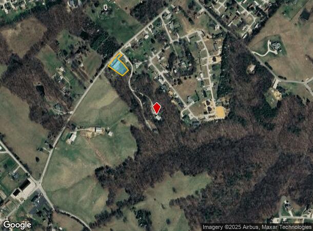
2615 Slate Branch Rd
051-2-2-13
.65 AC SLATE BRANCH RD
Commercialnec
Pulaski
X
Kentucky
21199C0295C
0.65 AC
2024
Corbin/London Area
2025
Other Market Areas
930504
Somerset, KY
3,200 SF
DEMOGRAPHICS near 2615 Slate Branch Rd
1 Mile
3 Mile
5 Mile
2024 Total Population
1,917
11,717
21,453
2029 Population
1,962
11,967
21,998
Pop Growth 2024-2029
+ 2.35%
+ 2.13%
+ 2.54%
Average Age
41
41
42
2024 Total Households
725
4,716
8,722
HH Growth 2024-2029
+ 2.34%
+ 2.06%
+ 2.49%
Median Household Inc
$65,856
$50,277
$47,853
Avg Household Size
2.60
2.40
2.40
2024 Avg HH Vehicles
2.00
2.00
2.00
Median Home Value
$260,060
$184,298
$163,042
Median Year Built
1995
1991
1989
Nearby Places
Map Layers
Map Styles
 Street
 Aerial
- Restaurants
- Banks
- Shops
- Fitness
- Groceries
Nearby Properties
Address
Land Use
TOTAL SIZE
Lot Size
Zoning
Address
Land Use
TOTAL SIZE
Lot Size
Zoning
5.80 AC
Address
Land Use
TOTAL SIZE
Lot Size
Zoning
Address
Land Use
TOTAL SIZE
Lot Size
Zoning
Address
Land Use
TOTAL SIZE
Lot Size
Zoning
10,336 SF
5.80 AC
Address
Land Use
TOTAL SIZE
Lot Size
Zoning
10.59 AC
Address
Land Use
TOTAL SIZE
Lot Size
Zoning
1,600 SF
2.48 AC
Address
Land Use
TOTAL SIZE
Lot Size
Zoning
54,812 SF
1.81 AC
Address
Land Use
TOTAL SIZE
Lot Size
Zoning
4,840 SF
141.40 AC
Address
Land Use
TOTAL SIZE
Lot Size
Zoning
5.95 AC
Address
Land Use
TOTAL SIZE
Lot Size
Zoning
Address
Land Use
TOTAL SIZE
Lot Size
Zoning
25,661 SF
4 AC
Address
Land Use
TOTAL SIZE
Lot Size
Zoning
Address
Land Use
TOTAL SIZE
Lot Size
Zoning
37,633 SF
4.50 AC
Address
Land Use
TOTAL SIZE
Lot Size
Zoning
40,299 SF
2.17 AC
Address
Land Use
TOTAL SIZE
Lot Size
Zoning
4.50 AC
Address
Land Use
TOTAL SIZE
Lot Size
Zoning
792 SF
2.19 AC
Address
Land Use
TOTAL SIZE
Lot Size
Zoning
19,212 SF
3.79 AC
Address
Land Use
TOTAL SIZE
Lot Size
Zoning
68,376 SF
10.76 AC
Address
Land Use
TOTAL SIZE
Lot Size
Zoning
Address
Land Use
TOTAL SIZE
Lot Size
Zoning
31,902 SF
1.73 AC
Address
Land Use
TOTAL SIZE
Lot Size
Zoning
1,400 SF
100 AC
Address
Land Use
TOTAL SIZE
Lot Size
Zoning
1,600 SF
1.59 AC
Address
Land Use
TOTAL SIZE
Lot Size
Zoning
2,000 SF
27.84 AC
Address
Land Use
TOTAL SIZE
Lot Size
Zoning
14,160 SF
2.35 AC
Address
Land Use
TOTAL SIZE
Lot Size
Zoning
0.82 AC
Address
Land Use
TOTAL SIZE
Lot Size
Zoning
2.05 AC
Address
Land Use
TOTAL SIZE
Lot Size
Zoning
4,881 SF
1.36 AC
Address
Land Use
TOTAL SIZE
Lot Size
Zoning
13,140 SF
2.58 AC
Address
Land Use
TOTAL SIZE
Lot Size
Zoning
1.27 AC
Address
Land Use
TOTAL SIZE
Lot Size
Zoning
15,000 SF
13.20 AC
The World's #1 Commercial Real Estate Marketplace
Connect with us
© 2025 CoStar Group
The information above has been obtained from sources believed reliable. While we do not doubt its accuracy we have not verified it and make no guarantee, warranty or representation about it. It is your responsibility to independently confirm its accuracy and completeness. Any projections, opinions, assumptions, or estimates used are for example only and do not represent the current or future performance of the property. The value of this transaction to you depends on tax and other factors which should be evaluated by your tax, financial, and legal advisors. You and your advisors should conduct a careful, independent investigation of the property to determine to your satisfaction the suitability of the property for your needs.