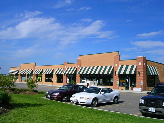
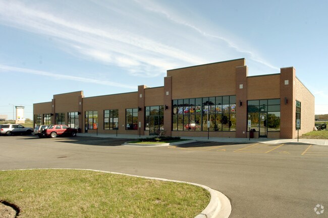
Property Record
2616 Schaid Ct, Mchenry, IL 60051

NEARBY LISTINGS FOR SALE OR LEASE
Property Detail
2616 Schaid Ct
Chicago-Naperville-Elgin, IL-IN-WI
North Gate Develop West
09-23-176-009
DOC 2015R0020124 LTS 8 THRU 20 NORTH GATE DEVELOP WEST
Commercialnec
McHenry
X
Illinois
17111C0207J
8-20
2024
3 AC
2024
Far Northwest
870604
Chicago
14,060 SF
DEMOGRAPHICS near 2616 Schaid Ct
1 Mile
3 Mile
5 Mile
2024 Total Population
3,742
31,003
67,677
2029 Population
3,760
31,168
68,260
Pop Growth 2024-2029
+ 0.48%
+ 0.53%
+ 0.86%
Average Age
41
42
42
2024 Total Households
1,498
12,169
26,587
HH Growth 2024-2029
+ 0.47%
+ 0.52%
+ 0.87%
Median Household Inc
$83,915
$81,198
$83,233
Avg Household Size
2.50
2.50
2.50
2024 Avg HH Vehicles
2.00
2.00
2.00
Median Home Value
$199,999
$222,348
$227,077
Median Year Built
1985
1977
1982
Nearby Places
Map Layers
Map Styles
 Street
 Aerial
- Restaurants
- Banks
- Shops
- Fitness
- Groceries
PUBLIC TRANSPORTATION
COMMUTER RAIL
McHenry Station (Union Pacific Northwest Line - Northeast Illinois Regional Commuter Railroad (Metra))
DRIVE
WALK
Distance
McHenry Station (Union Pacific Northwest Line - Northeast Illinois Regional Commuter Railroad (Metra))
5 min
2.2 mi
Fox Lake Station (Milwaukee District North Line - Northeast Illinois Regional Commuter Railroad (Metra))
DRIVE
WALK
Distance
Fox Lake Station (Milwaukee District North Line - Northeast Illinois Regional Commuter Railroad (Metra))
17 min
8.4 mi
AIRPORT
Chicago O'Hare International
DRIVE
WALK
Distance
Chicago O'Hare International
81 min
44.4 mi
Freight Ports
Port Milwaukee
DRIVE
WALK
Distance
Port Milwaukee
83 min
65.4 mi
Nearby Properties
Address
Land Use
TOTAL SIZE
Lot Size
Zoning
Address
Land Use
TOTAL SIZE
Lot Size
Zoning
20.51 AC
Address
Land Use
TOTAL SIZE
Lot Size
Zoning
5,000 SF
30.62 AC
Address
Land Use
TOTAL SIZE
Lot Size
Zoning
10.75 AC
Address
Land Use
TOTAL SIZE
Lot Size
Zoning
191,960 SF
19 AC
Address
Land Use
TOTAL SIZE
Lot Size
Zoning
185,809 SF
21 AC
Address
Land Use
TOTAL SIZE
Lot Size
Zoning
10,082 SF
0.80 AC
Address
Land Use
TOTAL SIZE
Lot Size
Zoning
124,114 SF
6.05 AC
Address
Land Use
TOTAL SIZE
Lot Size
Zoning
0.50 AC
Address
Land Use
TOTAL SIZE
Lot Size
Zoning
21,686 SF
0.90 AC
Address
Land Use
TOTAL SIZE
Lot Size
Zoning
267,134 SF
5.59 AC
Address
Land Use
TOTAL SIZE
Lot Size
Zoning
81,264 SF
0.50 AC
Address
Land Use
TOTAL SIZE
Lot Size
Zoning
3.11 AC
Address
Land Use
TOTAL SIZE
Lot Size
Zoning
115,923 SF
12 AC
Address
Land Use
TOTAL SIZE
Lot Size
Zoning
83,570 SF
3 AC
Address
Land Use
TOTAL SIZE
Lot Size
Zoning
66,380 SF
5.36 AC
Address
Land Use
TOTAL SIZE
Lot Size
Zoning
64,614 SF
5 AC
Address
Land Use
TOTAL SIZE
Lot Size
Zoning
57,000 SF
0.86 AC
Address
Land Use
TOTAL SIZE
Lot Size
Zoning
Address
Land Use
TOTAL SIZE
Lot Size
Zoning
1,704 SF
0.25 AC
Address
Land Use
TOTAL SIZE
Lot Size
Zoning
10,432 SF
3 AC
Address
Land Use
TOTAL SIZE
Lot Size
Zoning
2,250 SF
6.59 AC
Address
Land Use
TOTAL SIZE
Lot Size
Zoning
103,822 SF
7.64 AC
Address
Land Use
TOTAL SIZE
Lot Size
Zoning
38,783 SF
10.92 AC
Address
Land Use
TOTAL SIZE
Lot Size
Zoning
75,402 SF
7.34 AC
Address
Land Use
TOTAL SIZE
Lot Size
Zoning
164,700 SF
13.89 AC
Address
Land Use
TOTAL SIZE
Lot Size
Zoning
118,020 SF
11 AC
Address
Land Use
TOTAL SIZE
Lot Size
Zoning
3,840 SF
1 AC
Address
Land Use
TOTAL SIZE
Lot Size
Zoning
6.99 AC
Address
Land Use
TOTAL SIZE
Lot Size
Zoning
14,504 SF
2.61 AC
Address
Land Use
TOTAL SIZE
Lot Size
Zoning
95,679 SF
0.70 AC
The World's #1 Commercial Real Estate Marketplace
Connect with us
© 2025 CoStar Group
The information above has been obtained from sources believed reliable. While we do not doubt its accuracy we have not verified it and make no guarantee, warranty or representation about it. It is your responsibility to independently confirm its accuracy and completeness. Any projections, opinions, assumptions, or estimates used are for example only and do not represent the current or future performance of the property. The value of this transaction to you depends on tax and other factors which should be evaluated by your tax, financial, and legal advisors. You and your advisors should conduct a careful, independent investigation of the property to determine to your satisfaction the suitability of the property for your needs.