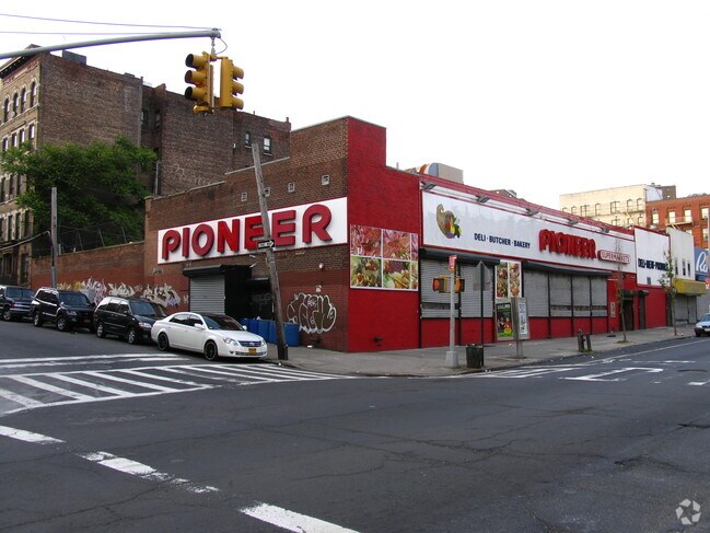
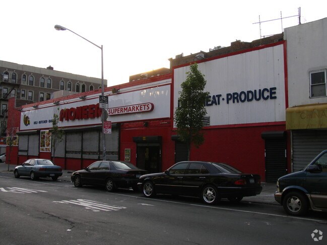
Property Record
262 Saint Anns Ave, Bronx, NY 10454
NEARBY LISTINGS FOR SALE OR LEASE
Property Detail
262 Saint Anns Ave
02551-0003
Bronx
Storebuilding
New York
X
3
3604970091F
0.36 AC
2024
Bronx
2025
Westchester/So Connecticut
003900
New York-Jersey City-White Plains, NY-NJ
15,816 SF
DEMOGRAPHICS near 262 Saint Anns Ave
1 Mile
3 Mile
5 Mile
2024 Total Population
98,533
1,171,914
2,767,761
2029 Population
91,850
1,087,901
2,581,291
Pop Growth 2024-2029
(6.78%)
(7.17%)
(6.74%)
Average Age
36
39
40
2024 Total Households
34,514
461,630
1,110,290
HH Growth 2024-2029
(7.50%)
(7.67%)
(7.05%)
Median Household Inc
$26,446
$47,995
$61,585
Avg Household Size
2.70
2.40
2.40
2024 Avg HH Vehicles
.00
.00
.00
Median Home Value
$440,671
$784,875
$757,591
Median Year Built
1965
1954
1953
Nearby Places
- Restaurants
- Banks
- Shops
- Fitness
- Groceries
PUBLIC TRANSPORTATION
TRANSIT/SUBWAY
Brook Avenue (6 - New York MTA Subway (The Subway))
DRIVE
WALK
Distance
Brook Avenue (6 - New York MTA Subway (The Subway))
0 min
2 min
0.1 mi
Cypress Avenue (6 - New York MTA Subway (The Subway))
DRIVE
WALK
Distance
Cypress Avenue (6 - New York MTA Subway (The Subway))
0 min
4 min
0.2 mi
3 Avenue-138 Street (6 - New York MTA Subway (The Subway))
DRIVE
WALK
Distance
3 Avenue-138 Street (6 - New York MTA Subway (The Subway))
1 min
10 min
0.6 mi
East 143 Street-St Marys Street (6 - New York MTA Subway (The Subway))
DRIVE
WALK
Distance
East 143 Street-St Marys Street (6 - New York MTA Subway (The Subway))
2 min
12 min
0.7 mi
3 Avenue-149 Street (2 - New York MTA Subway (The Subway), 5 - New York MTA Subway (The Subway))
DRIVE
WALK
Distance
3 Avenue-149 Street (2 - New York MTA Subway (The Subway), 5 - New York MTA Subway (The Subway))
2 min
15 min
0.8 mi
COMMUTER RAIL
Harlem-125Th Street Station (Harlem Line - Metro-North Commuter Railroad Company (Metro-North), Hudson Line - Metro-North Commuter Railroad Company (Metro-North), New Haven Line - Metro-North Commuter Railroad Company (Metro-North))
DRIVE
WALK
Distance
Harlem-125Th Street Station (Harlem Line - Metro-North Commuter Railroad Company (Metro-North), Hudson Line - Metro-North Commuter Railroad Company (Metro-North), New Haven Line - Metro-North Commuter Railroad Company (Metro-North))
4 min
1.9 mi
Melrose Station (Harlem Line - Metro-North Commuter Railroad Company (Metro-North))
DRIVE
WALK
Distance
Melrose Station (Harlem Line - Metro-North Commuter Railroad Company (Metro-North))
6 min
2.0 mi
AIRPORT
LaGuardia
DRIVE
WALK
Distance
LaGuardia
12 min
5.7 mi
John F Kennedy International
DRIVE
WALK
Distance
John F Kennedy International
25 min
17.0 mi
Newark Liberty International
DRIVE
WALK
Distance
Newark Liberty International
29 min
24.3 mi
Freight Ports
NY - Red Hook Container Terminal
DRIVE
WALK
Distance
NY - Red Hook Container Terminal
25 min
13.9 mi
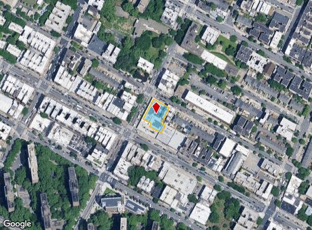
Nearby Properties
Address
Land Use
TOTAL SIZE
Lot Size
Zoning
Address
Land Use
TOTAL SIZE
Lot Size
Zoning
5,519,372 SF
409.21 AC
C8-2
Address
Land Use
TOTAL SIZE
Lot Size
Zoning
3,693,539 SF
8.37 AC
R8
Address
Land Use
TOTAL SIZE
Lot Size
Zoning
400,160 SF
10.96 AC
R7-2
Address
Land Use
TOTAL SIZE
Lot Size
Zoning
2,215,000 SF
6.43 AC
R9
Address
Land Use
TOTAL SIZE
Lot Size
Zoning
1,368,870 SF
16.86 AC
R8
Address
Land Use
TOTAL SIZE
Lot Size
Zoning
2,278,432 SF
5.99 AC
R7-2
Address
Land Use
TOTAL SIZE
Lot Size
Zoning
755,000 SF
1.85 AC
R7-2
Address
Land Use
TOTAL SIZE
Lot Size
Zoning
873,000 SF
9.95 AC
R7-2
Address
Land Use
TOTAL SIZE
Lot Size
Zoning
0.06 AC
R8
Address
Land Use
TOTAL SIZE
Lot Size
Zoning
1,670,868 SF
9.14 AC
R8
Address
Land Use
TOTAL SIZE
Lot Size
Zoning
1,651,267 SF
1.23 AC
R8
Address
Land Use
TOTAL SIZE
Lot Size
Zoning
1,075,000 SF
6.74 AC
R7-2
Address
Land Use
TOTAL SIZE
Lot Size
Zoning
478,842 SF
3.56 AC
C6-1
Address
Land Use
TOTAL SIZE
Lot Size
Zoning
661,538 SF
11.26 AC
R7-2
Address
Land Use
TOTAL SIZE
Lot Size
Zoning
0.36 AC
R8
Address
Land Use
TOTAL SIZE
Lot Size
Zoning
891,040 SF
5.63 AC
R8
Address
Land Use
TOTAL SIZE
Lot Size
Zoning
1,311,800 SF
9.89 AC
C4-4
Address
Land Use
TOTAL SIZE
Lot Size
Zoning
908,799 SF
2.13 AC
R10
Address
Land Use
TOTAL SIZE
Lot Size
Zoning
23.12 AC
PARK
Address
Land Use
TOTAL SIZE
Lot Size
Zoning
698,122 SF
3.47 AC
R8
Address
Land Use
TOTAL SIZE
Lot Size
Zoning
207.09 AC
PARK
Address
Land Use
TOTAL SIZE
Lot Size
Zoning
422,000 SF
0.86 AC
R9
Address
Land Use
TOTAL SIZE
Lot Size
Zoning
1,390,324 SF
6.87 AC
R8
Address
Land Use
TOTAL SIZE
Lot Size
Zoning
648,703 SF
1.45 AC
C28A
Address
Land Use
TOTAL SIZE
Lot Size
Zoning
807,327 SF
0.60 AC
R8
Address
Land Use
TOTAL SIZE
Lot Size
Zoning
507,265 SF
4.04 AC
C4-4
Address
Land Use
TOTAL SIZE
Lot Size
Zoning
892,550 SF
2.93 AC
M13R8
Address
Land Use
TOTAL SIZE
Lot Size
Zoning
948 SF
282.37 AC
PARK
Address
Land Use
TOTAL SIZE
Lot Size
Zoning
2,531,670 SF
17.15 AC
R7-2
Address
Land Use
TOTAL SIZE
Lot Size
Zoning
465,294 SF
0.82 AC
C1-9
The World's #1 Commercial Real Estate Marketplace
Connect with us
© 2025 CoStar Group
The information above has been obtained from sources believed reliable. While we do not doubt its accuracy we have not verified it and make no guarantee, warranty or representation about it. It is your responsibility to independently confirm its accuracy and completeness. Any projections, opinions, assumptions, or estimates used are for example only and do not represent the current or future performance of the property. The value of this transaction to you depends on tax and other factors which should be evaluated by your tax, financial, and legal advisors. You and your advisors should conduct a careful, independent investigation of the property to determine to your satisfaction the suitability of the property for your needs.