No Photo
Property Record
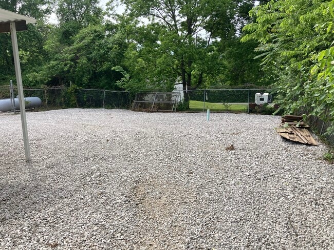
2625 Highway 100, Gray Summit, MO 63039

Save to a Folder
{{folder.Name}}
{{folder.ListingIds.length}} Properties
{{folder.ListingIds.length}} Property
Create a New Folder
Property Detail
2625 Highway 100
19-3-080-1-002-016000
COMMERCIAL LAND & COMMERCIALN PT OF LOT 2& S PT OF LOT 1 BLK:12 O T OF GRAY SUMMIT
Storebuilding
Franklin
CD
Missouri
B and X Area of moderate flood hazard, usually the area between the limits of the 100-year and 500-year floods.
1,2
2025
0.40 AC
2025
Franklin County
800101
St. Louis
6,896 SF
St. Louis, MO-IL
NEARBY LISTINGS FOR SALE OR LEASE
-
-
View all Gray Summit listings for lease on LoopNet.com
DEMOGRAPHICS near 2625 Highway 100
1 mile
3 mile
5 mile
2025 Total Population
1,512
6,825
17,739
2030 Population
1,547
6,963
18,128
Pop Growth 2025-2030
+ 2.31%
+ 2.02%
+ 2.19%
Average Age
42
42
42
2025 Total Households
605
2,746
7,122
HH Growth 2025-2030
+ 2.48%
+ 2.22%
+ 2.34%
Median Household Inc
$60,656
$60,477
$67,436
Avg Household Size
2.50
2.40
2.50
2025 Avg HH Vehicles
2.00
2.00
2.00
Median Home Value
$194,804
$198,269
$242,889
Median Year Built
1986
1986
1986
Nearby Places
Map Layers
Map Styles
 Street
 Aerial
Layers
 Traffic
 Biking
Places
Listings with unknown addresses are not visible on the map
- Restaurants
- Banks
- Shops
- Fitness
- Groceries
SALE & LEASE HISTORY
LISTING DATE
SALE/LEASE

Jan 27, 2022
For Lease
Nearby Properties
Address
Land Use
TOTAL SIZE
Lot Size
Zoning
Address
Land Use
TOTAL SIZE
Lot Size
Zoning
150,495 SF
59.50 AC
Address
Land Use
TOTAL SIZE
Lot Size
Zoning
61,091 SF
22.80 AC
ANU
Address
Land Use
TOTAL SIZE
Lot Size
Zoning
1,515 SF
232.80 AC
CD
Address
Land Use
TOTAL SIZE
Lot Size
Zoning
160,000 SF
8.70 AC
Address
Land Use
TOTAL SIZE
Lot Size
Zoning
2,205 SF
80 AC
SD
Address
Land Use
TOTAL SIZE
Lot Size
Zoning
17,690 SF
5 AC
Address
Land Use
TOTAL SIZE
Lot Size
Zoning
9,982 SF
1.50 AC
Address
Land Use
TOTAL SIZE
Lot Size
Zoning
10,126 SF
1.10 AC
Address
Land Use
TOTAL SIZE
Lot Size
Zoning
21,900 SF
2.20 AC
Address
Land Use
TOTAL SIZE
Lot Size
Zoning
13,100 SF
6.10 AC
Address
Land Use
TOTAL SIZE
Lot Size
Zoning
206,798 SF
10.60 AC
Address
Land Use
TOTAL SIZE
Lot Size
Zoning
1,748 SF
491.50 AC
ANU
Address
Land Use
TOTAL SIZE
Lot Size
Zoning
462 SF
239.60 AC
CD
Address
Land Use
TOTAL SIZE
Lot Size
Zoning
201,013 SF
13.60 AC
Address
Land Use
TOTAL SIZE
Lot Size
Zoning
2,880 SF
9.10 AC
CD
Address
Land Use
TOTAL SIZE
Lot Size
Zoning
270,948 SF
23.30 AC
Address
Land Use
TOTAL SIZE
Lot Size
Zoning
111,677 SF
15 AC
Address
Land Use
TOTAL SIZE
Lot Size
Zoning
9,000 SF
1.70 AC
CD
Address
Land Use
TOTAL SIZE
Lot Size
Zoning
57,940 SF
6.20 AC
Address
Land Use
TOTAL SIZE
Lot Size
Zoning
4,452 SF
643.20 AC
ANU
Address
Land Use
TOTAL SIZE
Lot Size
Zoning
9,320 SF
3.80 AC
CA
Address
Land Use
TOTAL SIZE
Lot Size
Zoning
10,284 SF
2 AC
CD
Address
Land Use
TOTAL SIZE
Lot Size
Zoning
8,760 SF
2 AC
CD
Address
Land Use
TOTAL SIZE
Lot Size
Zoning
72,320 SF
4.30 AC
Address
Land Use
TOTAL SIZE
Lot Size
Zoning
2.60 AC
Address
Land Use
TOTAL SIZE
Lot Size
Zoning
3,728 SF
1 AC
Address
Land Use
TOTAL SIZE
Lot Size
Zoning
8,720 SF
0.70 AC
Address
Land Use
TOTAL SIZE
Lot Size
Zoning
19,784 SF
5.20 AC
Address
Land Use
TOTAL SIZE
Lot Size
Zoning
Address
Land Use
TOTAL SIZE
Lot Size
Zoning
3,168 SF
3 AC
CA
The World's #1 Commercial Real Estate Marketplace
Connect with us
© 2026 CoStar Group
The information above has been obtained from sources believed reliable. While we do not doubt its accuracy we have not verified it and make no guarantee, warranty or representation about it. It is your responsibility to independently confirm its accuracy and completeness. Any projections, opinions, assumptions, or estimates used are for example only and do not represent the current or future performance of the property. The value of this transaction to you depends on tax and other factors which should be evaluated by your tax, financial, and legal advisors. You and your advisors should conduct a careful, independent investigation of the property to determine to your satisfaction the suitability of the property for your needs.