Property Record
2630 S Highway 161, Grand Prairie, TX 75052
NEARBY LISTINGS FOR SALE OR LEASE
Property Detail
2630 S Highway 161
Dallas-Fort Worth-Arlington, TX
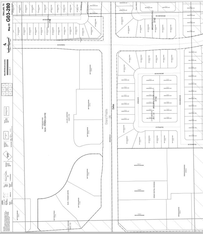
Bush & Pioneer Centre
280772600A0090000
BUSH & PIONEER CENTRE BLK A LT 9 ACS 1.321 INT201900181210 DD07122019 CO-DC 0772600A00900 5CP0772600A
Restaurantdrivein
Dallas
X
Texas
48439C0360L
9
2024
1.32 AC
2025
North Grand Prairie
016419
Dallas/Ft Worth
3,450 SF
DEMOGRAPHICS near 2630 S Highway 161
1 Mile
3 Mile
5 Mile
2024 Total Population
13,570
120,095
253,182
2029 Population
13,539
122,016
258,876
Pop Growth 2024-2029
(0.23%)
+ 1.60%
+ 2.25%
Average Age
35
34
35
2024 Total Households
4,477
39,536
82,086
HH Growth 2024-2029
(0.38%)
+ 1.65%
+ 2.25%
Median Household Inc
$51,247
$56,764
$60,004
Avg Household Size
3.00
3.00
3.00
2024 Avg HH Vehicles
2.00
2.00
2.00
Median Home Value
$194,956
$197,996
$211,972
Median Year Built
1986
1984
1982
Nearby Places
Map Layers
Map Styles
 Street
 Aerial
- Restaurants
- Banks
- Shops
- Fitness
- Groceries
PUBLIC TRANSPORTATION
COMMUTER RAIL
DRIVE
WALK
Distance
11 min
8.1 mi
DRIVE
WALK
Distance
16 min
9.3 mi
AIRPORT
Dallas-Fort Worth International
DRIVE
WALK
Distance
Dallas-Fort Worth International
22 min
15.4 mi
Dallas Love Field
DRIVE
WALK
Distance
Dallas Love Field
30 min
21.6 mi
Nearby Properties
Address
Land Use
TOTAL SIZE
Lot Size
Zoning
Address
Land Use
TOTAL SIZE
Lot Size
Zoning
1,577,320 SF
122.55 AC
Z123
Address
Land Use
TOTAL SIZE
Lot Size
Zoning
860,445 SF
50.39 AC
Z123
Address
Land Use
TOTAL SIZE
Lot Size
Zoning
456,473 SF
32.79 AC
Address
Land Use
TOTAL SIZE
Lot Size
Zoning
343,158 SF
18.42 AC
Z236
Address
Land Use
TOTAL SIZE
Lot Size
Zoning
485,300 SF
16.51 AC
Z312
Address
Land Use
TOTAL SIZE
Lot Size
Zoning
428,147 SF
14.45 AC
Z313
Address
Land Use
TOTAL SIZE
Lot Size
Zoning
368,004 SF
13.89 AC
Address
Land Use
TOTAL SIZE
Lot Size
Zoning
301,120 SF
14.23 AC
Z313
Address
Land Use
TOTAL SIZE
Lot Size
Zoning
266,460 SF
12 AC
Z313
Address
Land Use
TOTAL SIZE
Lot Size
Zoning
753,721 SF
42.65 AC
Address
Land Use
TOTAL SIZE
Lot Size
Zoning
478,110 SF
11.74 AC
Z313
Address
Land Use
TOTAL SIZE
Lot Size
Zoning
358,350 SF
13.15 AC
Address
Land Use
TOTAL SIZE
Lot Size
Zoning
247,880 SF
20.93 AC
Z236
Address
Land Use
TOTAL SIZE
Lot Size
Zoning
206,650 SF
18.92 AC
Address
Land Use
TOTAL SIZE
Lot Size
Zoning
402,935 SF
20.72 AC
Address
Land Use
TOTAL SIZE
Lot Size
Zoning
375,213 SF
17.77 AC
Address
Land Use
TOTAL SIZE
Lot Size
Zoning
298,234 SF
23.39 AC
Address
Land Use
TOTAL SIZE
Lot Size
Zoning
1,054,767 SF
37.45 AC
Z123
Address
Land Use
TOTAL SIZE
Lot Size
Zoning
276,567 SF
14.52 AC
Z236
Address
Land Use
TOTAL SIZE
Lot Size
Zoning
603,000 SF
32.80 AC
Z123
Address
Land Use
TOTAL SIZE
Lot Size
Zoning
229,000 SF
8.01 AC
Address
Land Use
TOTAL SIZE
Lot Size
Zoning
387,500 SF
13.54 AC
Z313
Address
Land Use
TOTAL SIZE
Lot Size
Zoning
297,393 SF
13.83 AC
Z236
Address
Land Use
TOTAL SIZE
Lot Size
Zoning
252,800 SF
21.59 AC
Z236
Address
Land Use
TOTAL SIZE
Lot Size
Zoning
272,000 SF
8.07 AC
Z313
Address
Land Use
TOTAL SIZE
Lot Size
Zoning
816,040 SF
41.89 AC
Address
Land Use
TOTAL SIZE
Lot Size
Zoning
254,690 SF
12.18 AC
Address
Land Use
TOTAL SIZE
Lot Size
Zoning
337,690 SF
20.71 AC
Address
Land Use
TOTAL SIZE
Lot Size
Zoning
228,210 SF
12.28 AC
Z190
Address
Land Use
TOTAL SIZE
Lot Size
Zoning
283,087 SF
15.22 AC
Z236
The World's #1 Commercial Real Estate Marketplace
Connect with us
© 2025 CoStar Group
The information above has been obtained from sources believed reliable. While we do not doubt its accuracy we have not verified it and make no guarantee, warranty or representation about it. It is your responsibility to independently confirm its accuracy and completeness. Any projections, opinions, assumptions, or estimates used are for example only and do not represent the current or future performance of the property. The value of this transaction to you depends on tax and other factors which should be evaluated by your tax, financial, and legal advisors. You and your advisors should conduct a careful, independent investigation of the property to determine to your satisfaction the suitability of the property for your needs.