Property Record
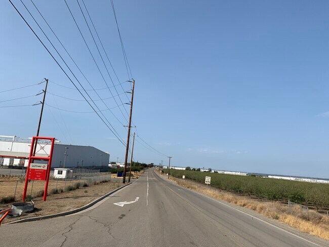
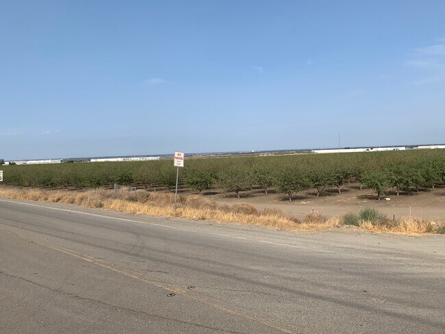
26301 Hansen Rd, Tracy, CA 95377


Property Detail
26301 Hansen Rd
209-230-09
77-FORM 209-230-08 & PT TO 10 PER CONGR GRANT
Industrialacreage
San Joaquin
AG40
California
B and X Area of moderate flood hazard, usually the area between the limits of the 100-year and 500-year floods.
67.04 AC
2025
Tracy/Manteca
2025
Stockton/Modesto
005213
Stockton-Lodi, CA
NEARBY LISTINGS FOR SALE OR LEASE
-
-
View all Tracy listings for lease on LoopNet.com
DEMOGRAPHICS near 26301 Hansen Rd
1 mile
3 mile
5 mile
2025 Total Population
44
13,208
103,721
2030 Population
48
14,184
109,432
Pop Growth 2025-2030
+ 9.09%
+ 7.39%
+ 5.51%
Average Age
38
38
37
2025 Total Households
13
3,753
30,415
HH Growth 2025-2030
+ 7.69%
+ 7.67%
+ 5.56%
Median Household Inc
$175,000
$167,023
$136,837
Avg Household Size
3.40
3.50
3.40
2025 Avg HH Vehicles
3.00
3.00
3.00
Median Home Value
$958,332
$819,842
$766,163
Median Year Built
2008
2007
2001
Nearby Places
Map Layers
Map Styles
 Street
 Aerial
Layers
 Traffic
 Biking
Places
Listings with unknown addresses are not visible on the map
- Restaurants
- Banks
- Shops
- Fitness
- Groceries
PUBLIC TRANSPORTATION
COMMUTER RAIL
Tracy Station (ACE Train - Altamont Corridor Express)
Drive
Walk
Distance
Tracy Station (ACE Train - Altamont Corridor Express)
15 min
6.6 mi
AIRPORT
Stockton Metro
Drive
Walk
Distance
Stockton Metro
35 min
26.8 mi
Freight Ports
Port of Stockton
Drive
Walk
Distance
Port of Stockton
38 min
30.1 mi
SALE & LEASE HISTORY
LISTING DATE
SALE/LEASE

Jan 09, 2020
For Lease
Nearby Properties
Address
Land Use
TOTAL SIZE
Lot Size
Zoning
Address
Land Use
TOTAL SIZE
Lot Size
Zoning
641,000 SF
378.88 AC
Address
Land Use
TOTAL SIZE
Lot Size
Zoning
1,120,082 SF
94.93 AC
AG40
Address
Land Use
TOTAL SIZE
Lot Size
Zoning
663,568 SF
158.06 AC
Address
Land Use
TOTAL SIZE
Lot Size
Zoning
1,034,066 SF
61.05 AC
Address
Land Use
TOTAL SIZE
Lot Size
Zoning
653,447 SF
66.62 AC
IG
Address
Land Use
TOTAL SIZE
Lot Size
Zoning
188,789 SF
92.24 AC
Address
Land Use
TOTAL SIZE
Lot Size
Zoning
202,577 SF
22.31 AC
IL
Address
Land Use
TOTAL SIZE
Lot Size
Zoning
483,967 SF
77.75 AC
Address
Land Use
TOTAL SIZE
Lot Size
Zoning
726,000 SF
32.29 AC
M1
Address
Land Use
TOTAL SIZE
Lot Size
Zoning
708,080 SF
83.08 AC
Address
Land Use
TOTAL SIZE
Lot Size
Zoning
403,560 SF
56.73 AC
Address
Land Use
TOTAL SIZE
Lot Size
Zoning
490,000 SF
46 AC
IG
Address
Land Use
TOTAL SIZE
Lot Size
Zoning
616,700 SF
31.66 AC
IG
Address
Land Use
TOTAL SIZE
Lot Size
Zoning
225,000 SF
11.13 AC
M
Address
Land Use
TOTAL SIZE
Lot Size
Zoning
65.83 AC
Address
Land Use
TOTAL SIZE
Lot Size
Zoning
407,563 SF
18.64 AC
IL
Address
Land Use
TOTAL SIZE
Lot Size
Zoning
83.58 AC
IL
Address
Land Use
TOTAL SIZE
Lot Size
Zoning
103 AC
AG40
Address
Land Use
TOTAL SIZE
Lot Size
Zoning
127,018 SF
66.71 AC
IL
Address
Land Use
TOTAL SIZE
Lot Size
Zoning
3,000 SF
37.96 AC
IG
Address
Land Use
TOTAL SIZE
Lot Size
Zoning
34,532 SF
38.37 AC
AG40
Address
Land Use
TOTAL SIZE
Lot Size
Zoning
204,300 SF
9.50 AC
Address
Land Use
TOTAL SIZE
Lot Size
Zoning
166 SF
40.60 AC
Address
Land Use
TOTAL SIZE
Lot Size
Zoning
106.25 AC
AG40
Address
Land Use
TOTAL SIZE
Lot Size
Zoning
29.82 AC
AU20
Address
Land Use
TOTAL SIZE
Lot Size
Zoning
5,680 SF
13.58 AC
The World's #1 Commercial Real Estate Marketplace
Connect with us
© 2026 CoStar Group
The information above has been obtained from sources believed reliable. While we do not doubt its accuracy we have not verified it and make no guarantee, warranty or representation about it. It is your responsibility to independently confirm its accuracy and completeness. Any projections, opinions, assumptions, or estimates used are for example only and do not represent the current or future performance of the property. The value of this transaction to you depends on tax and other factors which should be evaluated by your tax, financial, and legal advisors. You and your advisors should conduct a careful, independent investigation of the property to determine to your satisfaction the suitability of the property for your needs.