Property Record
26375 Us Highway 58, Barstow, CA 92311

NEARBY LISTINGS FOR SALE OR LEASE
-
-
View all Barstow listings for sale on LoopNet.com
Property Detail
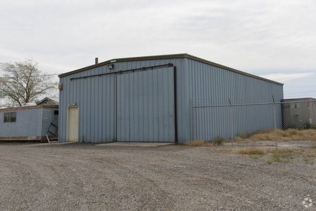
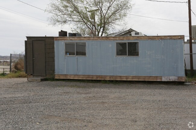
26375 Us Highway 58
Riverside-San Bernardino-Ontario, CA
Four Star Garden Tract
0497-062-01
TR NO 2842 FOUR SQUARE GARDEN TRACT W 1/2 LOT 9
Autorepair
San Bernardino
D
California
06071C3915J
9
2024
1.44 AC
2025
Mojave River Valley
011900
Inland Empire (California)
2,304 SF
DEMOGRAPHICS near 26375 Us Highway 58
1 Mile
3 Mile
5 Mile
2024 Total Population
299
7,511
30,233
2029 Population
312
7,812
31,273
Pop Growth 2024-2029
+ 4.35%
+ 4.01%
+ 3.44%
Average Age
40
36
35
2024 Total Households
109
2,583
10,409
HH Growth 2024-2029
+ 3.67%
+ 4.03%
+ 3.46%
Median Household Inc
$53,000
$59,254
$51,989
Avg Household Size
2.70
2.80
2.80
2024 Avg HH Vehicles
2.00
2.00
2.00
Median Home Value
$308,333
$98,477
$177,435
Median Year Built
1967
1969
1972
Nearby Places
Map Layers
Map Styles
 Street
 Aerial
- Restaurants
- Banks
- Shops
- Fitness
- Groceries
PUBLIC TRANSPORTATION
COMMUTER RAIL
Barstow (Southwest Chief - Amtrak)
DRIVE
WALK
Distance
Barstow (Southwest Chief - Amtrak)
8 min
4.7 mi
Freight Ports
Port of Long Beach
DRIVE
WALK
Distance
Port of Long Beach
154 min
132.0 mi
SALE & LEASE HISTORY
LISTING DATE
SALE/LEASE

Sep 24, 2016
For Sale
Nearby Properties
Address
Land Use
TOTAL SIZE
Lot Size
Zoning
Address
Land Use
TOTAL SIZE
Lot Size
Zoning
123,706 SF
13.95 AC
Address
Land Use
TOTAL SIZE
Lot Size
Zoning
4,247 SF
8.77 AC
Address
Land Use
TOTAL SIZE
Lot Size
Zoning
65,367 SF
7.49 AC
Address
Land Use
TOTAL SIZE
Lot Size
Zoning
87,534 SF
19.40 AC
Address
Land Use
TOTAL SIZE
Lot Size
Zoning
7,808 SF
117.11 AC
RL10AP
Address
Land Use
TOTAL SIZE
Lot Size
Zoning
804 SF
55.30 AC
RL5
Address
Land Use
TOTAL SIZE
Lot Size
Zoning
14,798 SF
1.93 AC
RS1
Address
Land Use
TOTAL SIZE
Lot Size
Zoning
16,498 SF
3.62 AC
Address
Land Use
TOTAL SIZE
Lot Size
Zoning
9,100 SF
1.25 AC
CR
Address
Land Use
TOTAL SIZE
Lot Size
Zoning
22,951 SF
0.81 AC
Address
Land Use
TOTAL SIZE
Lot Size
Zoning
3,040 SF
0.95 AC
Address
Land Use
TOTAL SIZE
Lot Size
Zoning
77.51 AC
Address
Land Use
TOTAL SIZE
Lot Size
Zoning
28,818 SF
2.47 AC
CR
Address
Land Use
TOTAL SIZE
Lot Size
Zoning
27,466 SF
2.07 AC
CR
Address
Land Use
TOTAL SIZE
Lot Size
Zoning
14,900 SF
0.61 AC
Address
Land Use
TOTAL SIZE
Lot Size
Zoning
9,600 SF
5.53 AC
Address
Land Use
TOTAL SIZE
Lot Size
Zoning
30,994 SF
4.58 AC
Address
Land Use
TOTAL SIZE
Lot Size
Zoning
68.12 AC
RL
Address
Land Use
TOTAL SIZE
Lot Size
Zoning
25,875 SF
1.25 AC
Address
Land Use
TOTAL SIZE
Lot Size
Zoning
114.36 AC
RL5
Address
Land Use
TOTAL SIZE
Lot Size
Zoning
9,480 SF
0.61 AC
Address
Land Use
TOTAL SIZE
Lot Size
Zoning
7,000 SF
0.61 AC
Address
Land Use
TOTAL SIZE
Lot Size
Zoning
10,000 SF
2.37 AC
Address
Land Use
TOTAL SIZE
Lot Size
Zoning
3,379 SF
38.42 AC
RL5
Address
Land Use
TOTAL SIZE
Lot Size
Zoning
16,443 SF
8.99 AC
C1
Address
Land Use
TOTAL SIZE
Lot Size
Zoning
6,024 SF
1.03 AC
Address
Land Use
TOTAL SIZE
Lot Size
Zoning
9,960 SF
0.62 AC
Address
Land Use
TOTAL SIZE
Lot Size
Zoning
8,793 SF
1 AC
Address
Land Use
TOTAL SIZE
Lot Size
Zoning
12,739 SF
2.03 AC
Address
Land Use
TOTAL SIZE
Lot Size
Zoning
32,640 SF
2.07 AC
The World's #1 Commercial Real Estate Marketplace
Connect with us
© 2025 CoStar Group
The information above has been obtained from sources believed reliable. While we do not doubt its accuracy we have not verified it and make no guarantee, warranty or representation about it. It is your responsibility to independently confirm its accuracy and completeness. Any projections, opinions, assumptions, or estimates used are for example only and do not represent the current or future performance of the property. The value of this transaction to you depends on tax and other factors which should be evaluated by your tax, financial, and legal advisors. You and your advisors should conduct a careful, independent investigation of the property to determine to your satisfaction the suitability of the property for your needs.