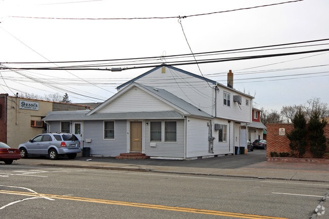
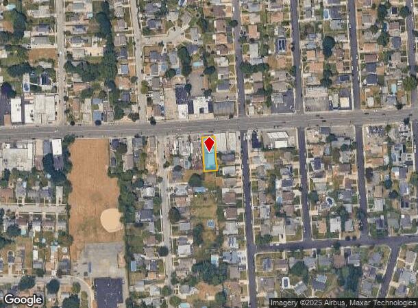
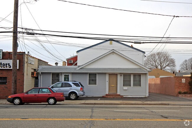
Property Record
2638 N Jerusalem Rd, North Bellmore, NY 11710
NEARBY LISTINGS FOR SALE OR LEASE
Property Detail
2638 N Jerusalem Rd
2089-51-443-00-0142-0
TOWN #1 SCH DIST 004
Apartment
Nassau
X
New York
36059C0235G
142
2025
0.17 AC
2025
Central Nassau
408500
Long Island (New York)
8,588 SF
Nassau County-Suffolk County, NY
DEMOGRAPHICS near 2638 N Jerusalem Rd
1 Mile
3 Mile
5 Mile
2024 Total Population
22,761
193,943
524,992
2029 Population
22,239
190,371
515,011
Pop Growth 2024-2029
(2.29%)
(1.84%)
(1.90%)
Average Age
42
42
41
2024 Total Households
7,293
61,385
161,110
HH Growth 2024-2029
(2.44%)
(1.99%)
(1.99%)
Median Household Inc
$139,024
$135,327
$123,384
Avg Household Size
3.00
3.00
3.10
2024 Avg HH Vehicles
2.00
2.00
2.00
Median Home Value
$634,449
$590,631
$589,551
Median Year Built
1955
1954
1954
Nearby Places
- Restaurants
- Banks
- Shops
- Fitness
- Groceries
PUBLIC TRANSPORTATION
COMMUTER RAIL
Bellmore Station (Babylon Branch - Long Island Rail Road)
DRIVE
WALK
Distance
Bellmore Station (Babylon Branch - Long Island Rail Road)
7 min
3.2 mi
Merrick Station (Babylon Branch - Long Island Rail Road)
DRIVE
WALK
Distance
Merrick Station (Babylon Branch - Long Island Rail Road)
7 min
3.9 mi
AIRPORT
John F Kennedy International
DRIVE
WALK
Distance
John F Kennedy International
27 min
18.0 mi
LaGuardia
DRIVE
WALK
Distance
LaGuardia
38 min
25.0 mi
Long Island MacArthur
DRIVE
WALK
Distance
Long Island MacArthur
38 min
28.6 mi
Freight Ports
NY - Red Hook Container Terminal
DRIVE
WALK
Distance
NY - Red Hook Container Terminal
48 min
29.5 mi
Nearby Properties
Address
Land Use
TOTAL SIZE
Lot Size
Zoning
Address
Land Use
TOTAL SIZE
Lot Size
Zoning
1,027,545 SF
15.65 AC
Address
Land Use
TOTAL SIZE
Lot Size
Zoning
2,835 SF
239 AC
Address
Land Use
TOTAL SIZE
Lot Size
Zoning
170,920 SF
27.82 AC
Address
Land Use
TOTAL SIZE
Lot Size
Zoning
6,120 SF
226.22 AC
Address
Land Use
TOTAL SIZE
Lot Size
Zoning
51,432 SF
32.03 AC
Address
Land Use
TOTAL SIZE
Lot Size
Zoning
822,113 SF
26 AC
Address
Land Use
TOTAL SIZE
Lot Size
Zoning
341,098 SF
31.88 AC
Address
Land Use
TOTAL SIZE
Lot Size
Zoning
5,628 SF
31.86 AC
Address
Land Use
TOTAL SIZE
Lot Size
Zoning
19.88 AC
Address
Land Use
TOTAL SIZE
Lot Size
Zoning
249,762 SF
18.36 AC
Address
Land Use
TOTAL SIZE
Lot Size
Zoning
57,874 SF
21 AC
Address
Land Use
TOTAL SIZE
Lot Size
Zoning
92,466 SF
8 AC
Address
Land Use
TOTAL SIZE
Lot Size
Zoning
145,209 SF
20.01 AC
Address
Land Use
TOTAL SIZE
Lot Size
Zoning
384,267 SF
29.25 AC
Address
Land Use
TOTAL SIZE
Lot Size
Zoning
10,072 SF
22.75 AC
Address
Land Use
TOTAL SIZE
Lot Size
Zoning
8,000 SF
17.75 AC
Address
Land Use
TOTAL SIZE
Lot Size
Zoning
120,000 SF
28.96 AC
Address
Land Use
TOTAL SIZE
Lot Size
Zoning
225,460 SF
14.70 AC
Address
Land Use
TOTAL SIZE
Lot Size
Zoning
86.38 AC
Address
Land Use
TOTAL SIZE
Lot Size
Zoning
144,358 SF
21.73 AC
Address
Land Use
TOTAL SIZE
Lot Size
Zoning
417,547 SF
19.25 AC
Address
Land Use
TOTAL SIZE
Lot Size
Zoning
115,825 SF
17.08 AC
Address
Land Use
TOTAL SIZE
Lot Size
Zoning
66,602 SF
19.93 AC
Address
Land Use
TOTAL SIZE
Lot Size
Zoning
248,816 SF
26.72 AC
Address
Land Use
TOTAL SIZE
Lot Size
Zoning
253,201 SF
16.01 AC
Address
Land Use
TOTAL SIZE
Lot Size
Zoning
112,053 SF
16.13 AC
Address
Land Use
TOTAL SIZE
Lot Size
Zoning
28,392 SF
16.58 AC
Address
Land Use
TOTAL SIZE
Lot Size
Zoning
168,070 SF
11.29 AC
Address
Land Use
TOTAL SIZE
Lot Size
Zoning
93,060 SF
12.37 AC
Address
Land Use
TOTAL SIZE
Lot Size
Zoning
167,750 SF
39.91 AC
The World's #1 Commercial Real Estate Marketplace
Connect with us
© 2025 CoStar Group
The information above has been obtained from sources believed reliable. While we do not doubt its accuracy we have not verified it and make no guarantee, warranty or representation about it. It is your responsibility to independently confirm its accuracy and completeness. Any projections, opinions, assumptions, or estimates used are for example only and do not represent the current or future performance of the property. The value of this transaction to you depends on tax and other factors which should be evaluated by your tax, financial, and legal advisors. You and your advisors should conduct a careful, independent investigation of the property to determine to your satisfaction the suitability of the property for your needs.