Property Record
264 Middlesex Ave, Chester, CT 06412
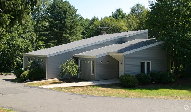


Property Detail
264 Middlesex Ave
Animalhospitalvet
Lower Ct River Vly
R-2
Connecticut
B and X Area of moderate flood hazard, usually the area between the limits of the 100-year and 500-year floods.
2.16 AC
2025
SW Midlsx/Old Saybrk/Rt 9
2025
Hartford
600100
Hartford-West Hartford-East Hartford, CT
5,729 SF
CHES-000004-000000-000027
NEARBY LISTINGS FOR SALE OR LEASE
DEMOGRAPHICS near 264 Middlesex Ave
1 mile
3 mile
5 mile
2025 Total Population
817
6,626
15,048
2030 Population
827
6,715
15,252
Pop Growth 2025-2030
+ 1.22%
+ 1.34%
+ 1.36%
Average Age
47
47
47
2025 Total Households
330
2,839
6,442
HH Growth 2025-2030
+ 1.21%
+ 1.37%
+ 1.33%
Median Household Inc
$122,999
$91,540
$101,224
Avg Household Size
2.20
2.20
2.30
2025 Avg HH Vehicles
2.00
2.00
2.00
Median Home Value
$502,273
$396,473
$398,758
Median Year Built
1968
1963
1968
Nearby Places
Map Layers
Map Styles
 Street
 Aerial
Transit
 Traffic
 Biking
Places
Listings with unknown addresses are not visible on the map
- Restaurants
- Banks
- Shops
- Fitness
- Groceries
PUBLIC TRANSPORTATION
AIRPORT
Tweed/New Haven
Drive
Walk
Distance
Tweed/New Haven
51 min
34.6 mi
Freight Ports
Port of New Haven
Drive
Walk
Distance
Port of New Haven
51 min
35.2 mi
SALE & LEASE HISTORY
LISTING DATE
SALE/LEASE

Jun 05, 2025
For Sale
Nearby Properties
Address
Land Use
TOTAL SIZE
Lot Size
Zoning
Address
Land Use
TOTAL SIZE
Lot Size
Zoning
50,026 SF
12.87 AC
R-1
Address
Land Use
TOTAL SIZE
Lot Size
Zoning
12.29 AC
COMM
Address
Land Use
TOTAL SIZE
Lot Size
Zoning
43,023 SF
1.08 AC
GCD
Address
Land Use
TOTAL SIZE
Lot Size
Zoning
23.16 AC
Address
Land Use
TOTAL SIZE
Lot Size
Zoning
16,008 SF
1.50 AC
C
Address
Land Use
TOTAL SIZE
Lot Size
Zoning
84.30 AC
R60
Address
Land Use
TOTAL SIZE
Lot Size
Zoning
18.49 AC
HDD
Address
Land Use
TOTAL SIZE
Lot Size
Zoning
18.90 AC
WD2
Address
Land Use
TOTAL SIZE
Lot Size
Zoning
151,159 SF
6.30 AC
VID
Address
Land Use
TOTAL SIZE
Lot Size
Zoning
30.70 AC
Address
Land Use
TOTAL SIZE
Lot Size
Zoning
19,653 SF
19.89 AC
R2
Address
Land Use
TOTAL SIZE
Lot Size
Zoning
34,574 SF
1.60 AC
COMM
Address
Land Use
TOTAL SIZE
Lot Size
Zoning
14,016 SF
16.03 AC
R-1
Address
Land Use
TOTAL SIZE
Lot Size
Zoning
44.17 AC
R-2
Address
Land Use
TOTAL SIZE
Lot Size
Zoning
146,466 SF
13.55 AC
VID
Address
Land Use
TOTAL SIZE
Lot Size
Zoning
880 SF
7.64 AC
EHVD
Address
Land Use
TOTAL SIZE
Lot Size
Zoning
22.26 AC
R-1
Address
Land Use
TOTAL SIZE
Lot Size
Zoning
63,938 SF
9.79 AC
CDD
Address
Land Use
TOTAL SIZE
Lot Size
Zoning
19.27 AC
R-2
Address
Land Use
TOTAL SIZE
Lot Size
Zoning
16.67 AC
Address
Land Use
TOTAL SIZE
Lot Size
Zoning
11,472 SF
0.27 AC
EHVD
Address
Land Use
TOTAL SIZE
Lot Size
Zoning
15.70 AC
WD2
Address
Land Use
TOTAL SIZE
Lot Size
Zoning
3 AC
COMM
Address
Land Use
TOTAL SIZE
Lot Size
Zoning
6,978 SF
164.08 AC
R-2
Address
Land Use
TOTAL SIZE
Lot Size
Zoning
6,480 SF
19 AC
WD2
Address
Land Use
TOTAL SIZE
Lot Size
Zoning
2.99 AC
IND
Address
Land Use
TOTAL SIZE
Lot Size
Zoning
2.15 AC
R-1
Address
Land Use
TOTAL SIZE
Lot Size
Zoning
8,309 SF
2.30 AC
R-2
Address
Land Use
TOTAL SIZE
Lot Size
Zoning
163.30 AC
Address
Land Use
TOTAL SIZE
Lot Size
Zoning
21,905 SF
3.02 AC
C
The World's #1 Commercial Real Estate Marketplace
Connect with us
© 2026 CoStar Group
The information above has been obtained from sources believed reliable. While we do not doubt its accuracy we have not verified it and make no guarantee, warranty or representation about it. It is your responsibility to independently confirm its accuracy and completeness. Any projections, opinions, assumptions, or estimates used are for example only and do not represent the current or future performance of the property. The value of this transaction to you depends on tax and other factors which should be evaluated by your tax, financial, and legal advisors. You and your advisors should conduct a careful, independent investigation of the property to determine to your satisfaction the suitability of the property for your needs.