Property Record
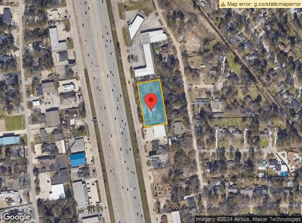
26410 Interstate 45, Spring, TX 77386


Property Detail
26410 Interstate 45
Houston-Pasadena-The Woodlands, TX
Oak Ridge North 03
7640-03-40400
OAK RIDGE NORTH 03 LT 404, 405,406 PT
Commercialnec
Montgomery
X
Texas
48339C0540H
405
2024
0.87 AC
2025
The Woodlands
691802
Houston
2,594 SF
NEARBY LISTINGS FOR SALE OR LEASE
-
-
-
-
-
-
-
-
-
I-45 Feeder Road South Of Sawdust & Pruitt Road
Spring, TX 77380
Rent Upon Request
1.79 AC Lots
Land
-
-
-
-
-
-
-
-
-
View all Spring listings for sale on LoopNet.com
DEMOGRAPHICS near 26410 Interstate 45
1 mile
3 mile
5 mile
2024 Total Population
9,393
69,662
181,026
2029 Population
11,420
84,968
214,387
Pop Growth 2024-2029
+ 21.58%
+ 21.97%
+ 18.43%
Average Age
39
39
38
2024 Total Households
3,652
28,334
67,436
HH Growth 2024-2029
+ 21.77%
+ 22.40%
+ 18.95%
Median Household Inc
$70,910
$83,958
$98,532
Avg Household Size
2.50
2.40
2.60
2024 Avg HH Vehicles
2.00
2.00
2.00
Median Home Value
$273,542
$280,791
$297,106
Median Year Built
1986
1998
2002
Nearby Places
Map Layers
Map Styles
 Street
 Aerial
Transit
 Traffic
 Biking
Places
Listings with unknown addresses are not visible on the map
- Restaurants
- Banks
- Shops
- Fitness
- Groceries
PUBLIC TRANSPORTATION
AIRPORT
George Bush Intcntl/Houston
Drive
Walk
Distance
George Bush Intcntl/Houston
28 min
21.6 mi
Freight Ports
Port of Houston
Drive
Walk
Distance
Port of Houston
51 min
37.3 mi
SALE & LEASE HISTORY
LISTING DATE
SALE/LEASE

Nov 30, 2021
For Sale
Nearby Properties
Address
Land Use
TOTAL SIZE
Lot Size
Zoning
Address
Land Use
TOTAL SIZE
Lot Size
Zoning
1,416,950 SF
21.80 AC
Address
Land Use
TOTAL SIZE
Lot Size
Zoning
1,673,574 SF
5.10 AC
Address
Land Use
TOTAL SIZE
Lot Size
Zoning
855,268 SF
31.65 AC
6
Address
Land Use
TOTAL SIZE
Lot Size
Zoning
718,313 SF
33.62 AC
Address
Land Use
TOTAL SIZE
Lot Size
Zoning
709,789 SF
3.04 AC
Address
Land Use
TOTAL SIZE
Lot Size
Zoning
1,053,284 SF
2.25 AC
Address
Land Use
TOTAL SIZE
Lot Size
Zoning
707,184 SF
3.48 AC
Address
Land Use
TOTAL SIZE
Lot Size
Zoning
565,113 SF
4.52 AC
Address
Land Use
TOTAL SIZE
Lot Size
Zoning
469,813 SF
3.16 AC
Address
Land Use
TOTAL SIZE
Lot Size
Zoning
225,149 SF
1.07 AC
Address
Land Use
TOTAL SIZE
Lot Size
Zoning
670,665 SF
6.70 AC
Address
Land Use
TOTAL SIZE
Lot Size
Zoning
370,039 SF
40.66 AC
Address
Land Use
TOTAL SIZE
Lot Size
Zoning
571,041 SF
4.82 AC
Address
Land Use
TOTAL SIZE
Lot Size
Zoning
438,062 SF
4.54 AC
Address
Land Use
TOTAL SIZE
Lot Size
Zoning
1,132,062 SF
3.31 AC
Address
Land Use
TOTAL SIZE
Lot Size
Zoning
410,156 SF
18.68 AC
Address
Land Use
TOTAL SIZE
Lot Size
Zoning
327,377 SF
24.02 AC
6
Address
Land Use
TOTAL SIZE
Lot Size
Zoning
473,060 SF
10.07 AC
Address
Land Use
TOTAL SIZE
Lot Size
Zoning
327,018 SF
21.91 AC
6
Address
Land Use
TOTAL SIZE
Lot Size
Zoning
368,000 SF
8.65 AC
Address
Land Use
TOTAL SIZE
Lot Size
Zoning
467,928 SF
6 AC
Address
Land Use
TOTAL SIZE
Lot Size
Zoning
296,094 SF
10.19 AC
Address
Land Use
TOTAL SIZE
Lot Size
Zoning
514,121 SF
2.01 AC
Address
Land Use
TOTAL SIZE
Lot Size
Zoning
279,413 SF
12.45 AC
6
Address
Land Use
TOTAL SIZE
Lot Size
Zoning
336,730 SF
2.41 AC
Address
Land Use
TOTAL SIZE
Lot Size
Zoning
383,484 SF
4.67 AC
Address
Land Use
TOTAL SIZE
Lot Size
Zoning
299,312 SF
2.66 AC
Address
Land Use
TOTAL SIZE
Lot Size
Zoning
246,719 SF
1.25 AC
Address
Land Use
TOTAL SIZE
Lot Size
Zoning
325,294 SF
21.81 AC
6
Address
Land Use
TOTAL SIZE
Lot Size
Zoning
162,976 SF
1.04 AC
The World's #1 Commercial Real Estate Marketplace
Connect with us
© 2026 CoStar Group
The information above has been obtained from sources believed reliable. While we do not doubt its accuracy we have not verified it and make no guarantee, warranty or representation about it. It is your responsibility to independently confirm its accuracy and completeness. Any projections, opinions, assumptions, or estimates used are for example only and do not represent the current or future performance of the property. The value of this transaction to you depends on tax and other factors which should be evaluated by your tax, financial, and legal advisors. You and your advisors should conduct a careful, independent investigation of the property to determine to your satisfaction the suitability of the property for your needs.