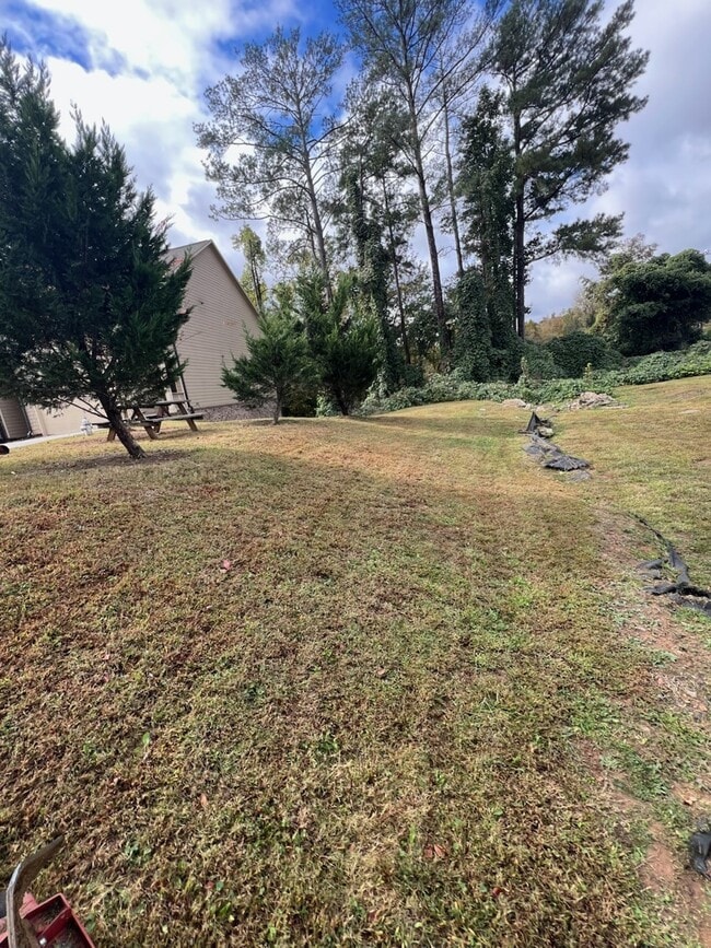
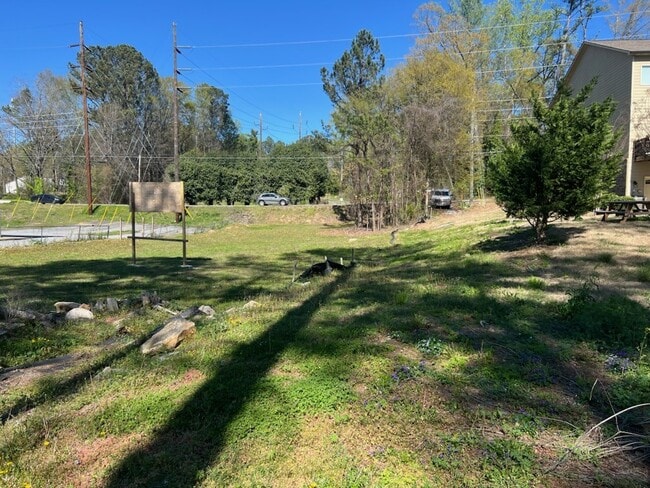
Property Record
265 Arcado Rd, Lilburn, GA 30047

Property Detail
265 Arcado Rd
Atlanta-Sandy Springs-Roswell, GA
L7 BB SOUTHEASTERN ESTATES #1
6-133-012C
GWINNETT
Residentialacreage
Georgia
CB
7
AE The base floodplain where base flood elevations are provided. AE Zones are now used on new format FIRMs instead of A1-A30 Zones.
0.46 AC
2025
Lawrenceville/Lilburn
2025
Atlanta
050461
NEARBY LISTINGS FOR SALE OR LEASE
-
-
-
-
No Photo
-
View all Lilburn listings for sale on LoopNet.com
DEMOGRAPHICS near 265 Arcado Rd
1 mile
3 mile
5 mile
2025 Total Population
8,333
92,048
262,154
2030 Population
8,576
95,577
272,066
Pop Growth 2025-2030
+ 2.92%
+ 3.83%
+ 3.78%
Average Age
36
37
37
2025 Total Households
2,838
28,962
87,717
HH Growth 2025-2030
+ 2.75%
+ 3.83%
+ 3.86%
Median Household Inc
$56,371
$67,774
$70,679
Avg Household Size
2.90
3.10
2.90
2025 Avg HH Vehicles
2.00
2.00
2.00
Median Home Value
$345,418
$349,323
$358,188
Median Year Built
1989
1987
1989
Nearby Places
Map Layers
Map Styles
 Street
 Aerial
Transit
 Traffic
 Biking
Places
Listings with unknown addresses are not visible on the map
- Restaurants
- Banks
- Shops
- Fitness
- Groceries
PUBLIC TRANSPORTATION
AIRPORT
Hartsfield - Jackson Atlanta International
Drive
Walk
Distance
Hartsfield - Jackson Atlanta International
47 min
32.1 mi
SALE & LEASE HISTORY
LISTING DATE
SALE/LEASE

Oct 02, 2019
For Sale
Dec 09, 2025
For Sale
Nearby Properties
Address
Land Use
TOTAL SIZE
Lot Size
Zoning
Address
Land Use
TOTAL SIZE
Lot Size
Zoning
338,670 SF
28.61 AC
RM
Address
Land Use
TOTAL SIZE
Lot Size
Zoning
464,756 SF
33.96 AC
RM13
Address
Land Use
TOTAL SIZE
Lot Size
Zoning
483,912 SF
43.10 AC
OI
Address
Land Use
TOTAL SIZE
Lot Size
Zoning
470,856 SF
34.99 AC
RM13
Address
Land Use
TOTAL SIZE
Lot Size
Zoning
313,246 SF
17.15 AC
RM13
Address
Land Use
TOTAL SIZE
Lot Size
Zoning
413,878 SF
29.13 AC
CB
Address
Land Use
TOTAL SIZE
Lot Size
Zoning
455,471 SF
48.23 AC
R75
Address
Land Use
TOTAL SIZE
Lot Size
Zoning
364,994 SF
34.06 AC
RM13
Address
Land Use
TOTAL SIZE
Lot Size
Zoning
285,384 SF
21.32 AC
RM
Address
Land Use
TOTAL SIZE
Lot Size
Zoning
371,383 SF
29.56 AC
RM13
Address
Land Use
TOTAL SIZE
Lot Size
Zoning
287,502 SF
43.15 AC
R1
Address
Land Use
TOTAL SIZE
Lot Size
Zoning
526,306 SF
77.45 AC
R100
Address
Land Use
TOTAL SIZE
Lot Size
Zoning
283,958 SF
23.75 AC
RM13
Address
Land Use
TOTAL SIZE
Lot Size
Zoning
225,939 SF
19.79 AC
RM13
Address
Land Use
TOTAL SIZE
Lot Size
Zoning
517,654 SF
28.39 AC
RM
Address
Land Use
TOTAL SIZE
Lot Size
Zoning
290,652 SF
35.67 AC
RM8
Address
Land Use
TOTAL SIZE
Lot Size
Zoning
353,094 SF
23.33 AC
RM
Address
Land Use
TOTAL SIZE
Lot Size
Zoning
244,131 SF
32.59 AC
RM8
Address
Land Use
TOTAL SIZE
Lot Size
Zoning
251,214 SF
24.91 AC
RM13
Address
Land Use
TOTAL SIZE
Lot Size
Zoning
155,821 SF
15.01 AC
RM
Address
Land Use
TOTAL SIZE
Lot Size
Zoning
172,197 SF
18.03 AC
RM10
Address
Land Use
TOTAL SIZE
Lot Size
Zoning
188,118 SF
13.87 AC
RM13
Address
Land Use
TOTAL SIZE
Lot Size
Zoning
174,905 SF
35.72 AC
R1
Address
Land Use
TOTAL SIZE
Lot Size
Zoning
195,253 SF
21.87 AC
R100
Address
Land Use
TOTAL SIZE
Lot Size
Zoning
140,613 SF
21.45 AC
R75
Address
Land Use
TOTAL SIZE
Lot Size
Zoning
156,635 SF
13.67 AC
RM
Address
Land Use
TOTAL SIZE
Lot Size
Zoning
186,766 SF
11.21 AC
R100
Address
Land Use
TOTAL SIZE
Lot Size
Zoning
366,008 SF
39.23 AC
IA
Address
Land Use
TOTAL SIZE
Lot Size
Zoning
137,865 SF
24.77 AC
CB
Address
Land Use
TOTAL SIZE
Lot Size
Zoning
224,707 SF
14.34 AC
M1
The World's #1 Commercial Real Estate Marketplace
Connect with us
© 2026 CoStar Group
The information above has been obtained from sources believed reliable. While we do not doubt its accuracy we have not verified it and make no guarantee, warranty or representation about it. It is your responsibility to independently confirm its accuracy and completeness. Any projections, opinions, assumptions, or estimates used are for example only and do not represent the current or future performance of the property. The value of this transaction to you depends on tax and other factors which should be evaluated by your tax, financial, and legal advisors. You and your advisors should conduct a careful, independent investigation of the property to determine to your satisfaction the suitability of the property for your needs.