Property Record
265 Brantham Rd, Burgaw, NC 28425


NEARBY LISTINGS FOR SALE OR LEASE
Property Detail
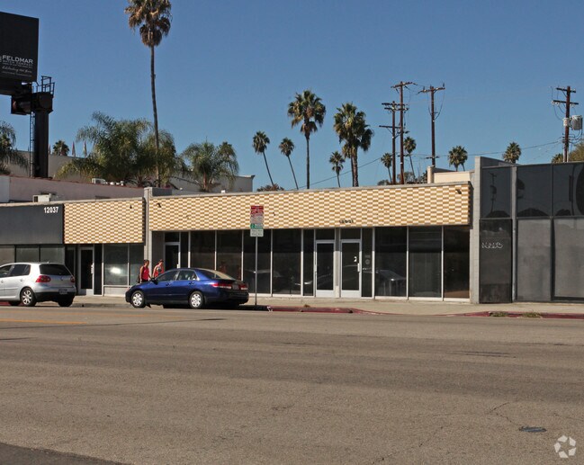
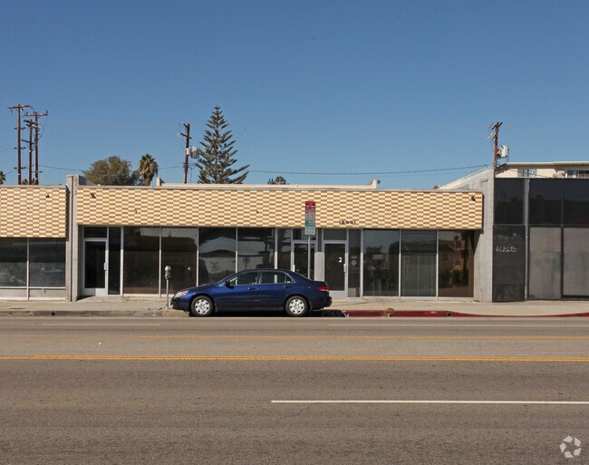
265 Brantham Rd
Los Angeles-Long Beach-Glendale, CA
San Vicente Park
4265-016-051
SAN VICENTE PARK LOTS 23, 24 AND 25 BLK 1
Multifamilydwelling
Los Angeles
X
California
06037C1590G
24
2024
0.52 AC
2025
Brentwood
267300
Los Angeles
75,831 SF
DEMOGRAPHICS near 265 Brantham Rd
1 Mile
3 Mile
5 Mile
2024 Total Population
51,274
275,794
537,875
2029 Population
50,241
271,706
528,016
Pop Growth 2024-2029
(2.01%)
(1.48%)
(1.83%)
Average Age
39
40
41
2024 Total Households
26,158
122,204
242,019
HH Growth 2024-2029
(2.28%)
(1.62%)
(1.99%)
Median Household Inc
$107,928
$106,244
$106,814
Avg Household Size
1.90
2.00
2.10
2024 Avg HH Vehicles
1.00
1.00
2.00
Median Home Value
$1,051,517
$1,105,366
$1,112,210
Median Year Built
1973
1970
1969
Nearby Places
Map Layers
Map Styles
 Street
 Aerial
- Restaurants
- Banks
- Shops
- Fitness
- Groceries
PUBLIC TRANSPORTATION
AIRPORT
Los Angeles International
DRIVE
WALK
Distance
Los Angeles International
18 min
12.8 mi
Bob Hope
DRIVE
WALK
Distance
Bob Hope
27 min
19.9 mi
Long Beach (Daugherty Field)
DRIVE
WALK
Distance
Long Beach (Daugherty Field)
31 min
30.9 mi
Nearby Properties
Address
Land Use
TOTAL SIZE
Lot Size
Zoning
Address
Land Use
TOTAL SIZE
Lot Size
Zoning
1,436,724 SF
21.11 AC
LAC2
Address
Land Use
TOTAL SIZE
Lot Size
Zoning
486,993 SF
8.31 AC
SMCP3-CP5*
Address
Land Use
TOTAL SIZE
Lot Size
Zoning
45,135 SF
1.69 AC
LARE9
Address
Land Use
TOTAL SIZE
Lot Size
Zoning
1,509,050 SF
113.39 AC
LAA1
Address
Land Use
TOTAL SIZE
Lot Size
Zoning
3.47 AC
LARE15
Address
Land Use
TOTAL SIZE
Lot Size
Zoning
0.29 AC
LARE
Address
Land Use
TOTAL SIZE
Lot Size
Zoning
1,029,337 SF
3.34 AC
LAC4
Address
Land Use
TOTAL SIZE
Lot Size
Zoning
618,301 SF
1.99 AC
LAC4
Address
Land Use
TOTAL SIZE
Lot Size
Zoning
318,556 SF
3.19 AC
SMC5*
Address
Land Use
TOTAL SIZE
Lot Size
Zoning
636,436 SF
6.62 AC
LAC2
Address
Land Use
TOTAL SIZE
Lot Size
Zoning
500,629 SF
1.60 AC
LAC4
Address
Land Use
TOTAL SIZE
Lot Size
Zoning
366,614 SF
4.25 AC
LAC4
Address
Land Use
TOTAL SIZE
Lot Size
Zoning
197,520 SF
0.81 AC
SMRVC*
Address
Land Use
TOTAL SIZE
Lot Size
Zoning
301,579 SF
2.69 AC
SMRVC*
Address
Land Use
TOTAL SIZE
Lot Size
Zoning
858,380 SF
7.23 AC
SMC5*
Address
Land Use
TOTAL SIZE
Lot Size
Zoning
605,678 SF
LAC2
Address
Land Use
TOTAL SIZE
Lot Size
Zoning
808,626 SF
1.88 AC
LAC2
Address
Land Use
TOTAL SIZE
Lot Size
Zoning
35,635 SF
2.81 AC
LAC2
Address
Land Use
TOTAL SIZE
Lot Size
Zoning
483,875 SF
7.31 AC
SMC5*
Address
Land Use
TOTAL SIZE
Lot Size
Zoning
475,736 SF
4.94 AC
SMC3C*
Address
Land Use
TOTAL SIZE
Lot Size
Zoning
305,260 SF
1.36 AC
LAC4
Address
Land Use
TOTAL SIZE
Lot Size
Zoning
424,403 SF
1.76 AC
SMLMSD*
Address
Land Use
TOTAL SIZE
Lot Size
Zoning
208,783 SF
2.94 AC
SMLMSD*
Address
Land Use
TOTAL SIZE
Lot Size
Zoning
65,958 SF
6.79 AC
MOM*
Address
Land Use
TOTAL SIZE
Lot Size
Zoning
178,691 SF
3.42 AC
SMRMH*
Address
Land Use
TOTAL SIZE
Lot Size
Zoning
487,810 SF
2.21 AC
LAC2
Address
Land Use
TOTAL SIZE
Lot Size
Zoning
500,824 SF
3.59 AC
LAC2
Address
Land Use
TOTAL SIZE
Lot Size
Zoning
322,769 SF
3.61 AC
SMC5*
Address
Land Use
TOTAL SIZE
Lot Size
Zoning
172,273 SF
1.21 AC
SMC3
Address
Land Use
TOTAL SIZE
Lot Size
Zoning
102,157 SF
0.71 AC
SMRVC*
The World's #1 Commercial Real Estate Marketplace
Connect with us
© 2025 CoStar Group
The information above has been obtained from sources believed reliable. While we do not doubt its accuracy we have not verified it and make no guarantee, warranty or representation about it. It is your responsibility to independently confirm its accuracy and completeness. Any projections, opinions, assumptions, or estimates used are for example only and do not represent the current or future performance of the property. The value of this transaction to you depends on tax and other factors which should be evaluated by your tax, financial, and legal advisors. You and your advisors should conduct a careful, independent investigation of the property to determine to your satisfaction the suitability of the property for your needs.