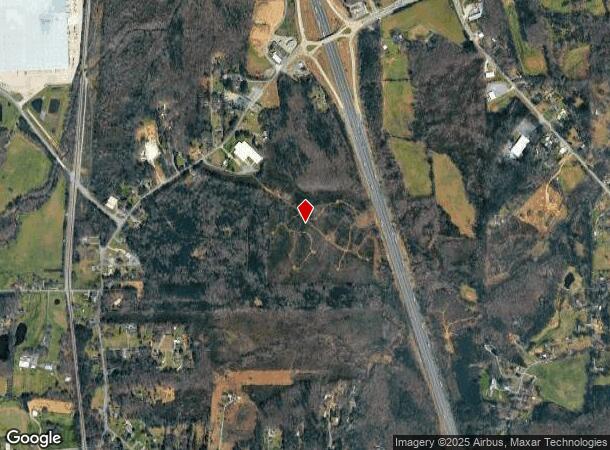
Property Record
265 Carbondale Rd Sw, Dalton, GA 30721

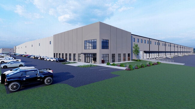
Current Lease Availabilities
NEARBY LISTINGS FOR SALE OR LEASE
Property Detail
265 Carbondale Rd Sw
13-173-04-000
Overide Value
Commercialnec
7.43A LL 173-13
X
Whitfield
13213C0200D
Georgia
2024
7.43 AC
2024
Georgia Northwest
000801
Other Market Areas
54,800 SF
Dalton, GA
DEMOGRAPHICS near 265 Carbondale Rd Sw
1 Mile
3 Mile
5 Mile
2024 Total Population
1,002
4,931
9,028
2029 Population
1,008
4,999
9,202
Pop Growth 2024-2029
+ 0.60%
+ 1.38%
+ 1.93%
Average Age
39
39
40
2024 Total Households
360
1,756
3,285
HH Growth 2024-2029
+ 0.83%
+ 1.42%
+ 1.92%
Median Household Inc
$56,999
$51,680
$55,484
Avg Household Size
2.80
2.80
2.70
2024 Avg HH Vehicles
2.00
2.00
2.00
Median Home Value
$117,500
$118,050
$138,889
Median Year Built
1986
1987
1986
Nearby Places
Map Layers
Map Styles
 Street
 Aerial
- Restaurants
- Banks
- Shops
- Fitness
- Groceries
PUBLIC TRANSPORTATION
AIRPORT
Lovell Field
DRIVE
WALK
Distance
Lovell Field
57 min
46.1 mi
Freight Ports
Georgia Ports - Savannah
DRIVE
WALK
Distance
Georgia Ports - Savannah
364 min
326.6 mi
Nearby Properties
Address
Land Use
TOTAL SIZE
Lot Size
Zoning
Address
Land Use
TOTAL SIZE
Lot Size
Zoning
266,000 SF
12.54 AC
M2
Address
Land Use
TOTAL SIZE
Lot Size
Zoning
308,480 SF
87.86 AC
Address
Land Use
TOTAL SIZE
Lot Size
Zoning
232,960 SF
11.63 AC
M-2
Address
Land Use
TOTAL SIZE
Lot Size
Zoning
200,000 SF
15.18 AC
M-2
Address
Land Use
TOTAL SIZE
Lot Size
Zoning
189,280 SF
8.18 AC
M-2
Address
Land Use
TOTAL SIZE
Lot Size
Zoning
69,590 SF
29.96 AC
Address
Land Use
TOTAL SIZE
Lot Size
Zoning
27,188 SF
162.17 AC
Address
Land Use
TOTAL SIZE
Lot Size
Zoning
183,550 SF
53.09 AC
Address
Land Use
TOTAL SIZE
Lot Size
Zoning
130,290 SF
23.82 AC
Address
Land Use
TOTAL SIZE
Lot Size
Zoning
344,550 SF
24.39 AC
Address
Land Use
TOTAL SIZE
Lot Size
Zoning
227,111 SF
16.09 AC
Address
Land Use
TOTAL SIZE
Lot Size
Zoning
58,500 SF
48.69 AC
Address
Land Use
TOTAL SIZE
Lot Size
Zoning
107,908 SF
45.69 AC
Address
Land Use
TOTAL SIZE
Lot Size
Zoning
103,125 SF
5.68 AC
Address
Land Use
TOTAL SIZE
Lot Size
Zoning
92,338 SF
18.50 AC
M2
Address
Land Use
TOTAL SIZE
Lot Size
Zoning
141,520 SF
8 AC
Address
Land Use
TOTAL SIZE
Lot Size
Zoning
133,870 SF
5.13 AC
Address
Land Use
TOTAL SIZE
Lot Size
Zoning
292,500 SF
28.89 AC
Address
Land Use
TOTAL SIZE
Lot Size
Zoning
128,600 SF
10.31 AC
Address
Land Use
TOTAL SIZE
Lot Size
Zoning
142,772 SF
5.88 AC
M-2
Address
Land Use
TOTAL SIZE
Lot Size
Zoning
123,750 SF
16.27 AC
M-2
Address
Land Use
TOTAL SIZE
Lot Size
Zoning
48,906 SF
7.93 AC
Address
Land Use
TOTAL SIZE
Lot Size
Zoning
110,000 SF
49.11 AC
M-2
Address
Land Use
TOTAL SIZE
Lot Size
Zoning
83,800 SF
6.48 AC
C2
Address
Land Use
TOTAL SIZE
Lot Size
Zoning
45.36 AC
Address
Land Use
TOTAL SIZE
Lot Size
Zoning
49,500 SF
7.81 AC
M-2
Address
Land Use
TOTAL SIZE
Lot Size
Zoning
38,166 SF
20.93 AC
Address
Land Use
TOTAL SIZE
Lot Size
Zoning
65,000 SF
5.17 AC
C-2
Address
Land Use
TOTAL SIZE
Lot Size
Zoning
983 SF
64.62 AC
M-2
The World's #1 Commercial Real Estate Marketplace
Connect with us
© 2026 CoStar Group
The information above has been obtained from sources believed reliable. While we do not doubt its accuracy we have not verified it and make no guarantee, warranty or representation about it. It is your responsibility to independently confirm its accuracy and completeness. Any projections, opinions, assumptions, or estimates used are for example only and do not represent the current or future performance of the property. The value of this transaction to you depends on tax and other factors which should be evaluated by your tax, financial, and legal advisors. You and your advisors should conduct a careful, independent investigation of the property to determine to your satisfaction the suitability of the property for your needs.